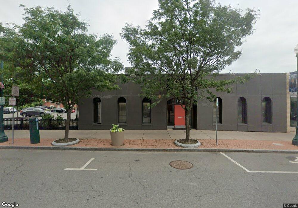
131 State St Schenectady, NY 12305
Downtown Schenectady NeighborhoodEstimated Value: $703,310
Studio
--
Bath
10,900
Sq Ft
$65/Sq Ft
Est. Value
About This Home
This home is located at 131 State St, Schenectady, NY 12305 and is currently estimated at $703,310, approximately $64 per square foot. 131 State St is a home located in Schenectady County with nearby schools including Yates Elementary School, Oneida Middle School, and Schenectady High School.
Ownership History
Date
Name
Owned For
Owner Type
Purchase Details
Closed on
Jan 25, 2012
Sold by
Girl Scouts Of Northeastern New York Inc
Bought by
Trish Rost Llc
Current Estimated Value
Home Financials for this Owner
Home Financials are based on the most recent Mortgage that was taken out on this home.
Original Mortgage
$280,000
Outstanding Balance
$190,894
Interest Rate
3.94%
Mortgage Type
Commercial
Estimated Equity
$512,416
Purchase Details
Closed on
Nov 22, 2005
Sold by
131 State Street Assoc A Partnership
Bought by
Girl Scouts Mohawk Pathwa Ys Council Inc
Create a Home Valuation Report for This Property
The Home Valuation Report is an in-depth analysis detailing your home's value as well as a comparison with similar homes in the area
Home Values in the Area
Average Home Value in this Area
Purchase History
| Date | Buyer | Sale Price | Title Company |
|---|---|---|---|
| Trish Rost Llc | $365,000 | None Available | |
| Girl Scouts Mohawk Pathwa Ys Council Inc | $460,000 | Vincent L Valenza |
Source: Public Records
Mortgage History
| Date | Status | Borrower | Loan Amount |
|---|---|---|---|
| Open | Trish Rost Llc | $280,000 |
Source: Public Records
Tax History
| Year | Tax Paid | Tax Assessment Tax Assessment Total Assessment is a certain percentage of the fair market value that is determined by local assessors to be the total taxable value of land and additions on the property. | Land | Improvement |
|---|---|---|---|---|
| 2024 | $16,576 | $394,420 | $34,900 | $359,520 |
| 2023 | $163 | $394,420 | $34,900 | $359,520 |
| 2022 | $16,634 | $394,420 | $34,900 | $359,520 |
| 2021 | $10,160 | $394,420 | $34,900 | $359,520 |
| 2020 | $10,225 | $394,420 | $34,900 | $359,520 |
| 2019 | $8,210 | $394,420 | $34,900 | $359,520 |
| 2018 | $16,578 | $394,420 | $34,900 | $359,520 |
| 2017 | $8,832 | $394,420 | $34,900 | $359,520 |
| 2016 | $17,201 | $394,420 | $34,900 | $359,520 |
| 2015 | -- | $394,420 | $34,900 | $359,520 |
| 2014 | -- | $394,420 | $34,900 | $359,520 |
Source: Public Records
Map
Nearby Homes
- 113 S Ferry St
- 210 Union St
- 322 State St
- 246 Union St
- 21 N Ferry St
- 9 N College St
- 229 Green St
- 117 N College St
- 137 Front Sreet Unit 311
- 137 Front St Unit 311
- 13 Ingersoll Ave
- 18 Ingersoll Ave
- 206 Front St
- 208 Front St
- 11 River St
- 312 Georgetta Dix Plaza
- 701 Union St
- 714 Union St
- 1143 Barrett St
- 320 Germania Ave
- 134 S Ferry St
- 119 State St
- 137 S Ferry St Unit 3rd Floor
- 137 S Ferry St
- 135 S Ferry St
- 135 1 2 South Ferry St
- 201 State St
- 135 1/2 S Ferry St
- 214 Liberty St
- 214 Liberty St Unit 222
- 109 State St
- 111 Liberty Street Apts 100-503
- 111 Liberty St
- 118 S Ferry St
- 200 State St Unit 101
- 200 State St Unit 201
- 200 State St Unit 205
- 200 State St Unit 102
- 200 State St
- 116 S Ferry St
Your Personal Tour Guide
Ask me questions while you tour the home.