1310 Almshouse Rd Ivyland, PA 18974
Estimated Value: $606,000 - $1,182,674
4
Beds
4
Baths
3,894
Sq Ft
$230/Sq Ft
Est. Value
About This Home
This home is located at 1310 Almshouse Rd, Ivyland, PA 18974 and is currently estimated at $894,337, approximately $229 per square foot. 1310 Almshouse Rd is a home located in Bucks County with nearby schools including Maureen M. Welch Elementary School, Richboro Middle School, and Council Rock High School - South.
Ownership History
Date
Name
Owned For
Owner Type
Purchase Details
Closed on
Jun 1, 2017
Sold by
Tanner James C and Tanner Amy Jo
Bought by
Tanner James C and Tanner Lette J
Current Estimated Value
Purchase Details
Closed on
Feb 20, 2001
Sold by
Tanner James C and Tanner Lette J
Bought by
Northampton Bucks Cnty Municipal Authori
Purchase Details
Closed on
Mar 30, 1999
Sold by
Tanner James C and Tanner Lette J
Bought by
Tanner James C and Tanner Lette J
Create a Home Valuation Report for This Property
The Home Valuation Report is an in-depth analysis detailing your home's value as well as a comparison with similar homes in the area
Home Values in the Area
Average Home Value in this Area
Purchase History
| Date | Buyer | Sale Price | Title Company |
|---|---|---|---|
| Tanner James C | -- | None Available | |
| Northampton Bucks Cnty Municipal Authori | $1,260,000 | -- | |
| Tanner James C | -- | -- |
Source: Public Records
Tax History Compared to Growth
Tax History
| Year | Tax Paid | Tax Assessment Tax Assessment Total Assessment is a certain percentage of the fair market value that is determined by local assessors to be the total taxable value of land and additions on the property. | Land | Improvement |
|---|---|---|---|---|
| 2025 | $14,309 | $74,290 | $6,060 | $68,230 |
| 2024 | $14,309 | $74,290 | $6,060 | $68,230 |
| 2023 | $13,486 | $74,290 | $6,060 | $68,230 |
| 2022 | $13,362 | $74,290 | $6,060 | $68,230 |
| 2021 | $12,940 | $182,890 | $114,660 | $68,230 |
| 2020 | $12,649 | $182,890 | $114,660 | $68,230 |
| 2019 | $12,107 | $182,890 | $114,660 | $68,230 |
| 2018 | $11,892 | $182,890 | $114,660 | $68,230 |
| 2017 | $11,433 | $182,890 | $114,660 | $68,230 |
| 2016 | $11,433 | $182,890 | $114,660 | $68,230 |
| 2015 | -- | $182,890 | $114,660 | $68,230 |
| 2014 | -- | $182,890 | $114,660 | $68,230 |
Source: Public Records
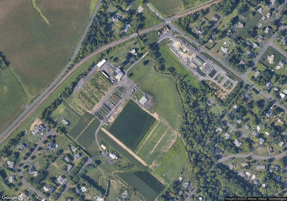
Map
Nearby Homes
- 1000 Old Jacksonville Rd
- 6 Breckenridge Dr
- 934 Nathaniel Trail
- 1390 Old Jacksonville Rd
- 9 Spring Mill Dr
- 11 Spring Mill Dr
- 8 Lacey Ln
- 10 Spring Mill Dr
- 18 Lacey Ln
- 1017 Conway Ct
- 146 Grandview Dr
- 1408 Old Jacksonville Rd
- 31 Aspen Dr
- 636 Almshouse Rd
- 223 Cecelia Acres Dr
- The Addis Plan at The Reserve at Spring Mill
- The Beckett Plan at The Reserve at Spring Mill
- 55 Parry Way
- 59 Parry Way
- 2417 April Dr
- 1328 Almshouse Rd
- 402 Almshouse Rd
- 1317 Almshouse Rd
- 1305 Almshouse Rd
- 17 Lincoln Cir
- 1271 Almshouse Rd
- 40 Overlook Dr
- 39 Overlook Dr
- 65 Hill Rd
- 74 Inland Rd
- 1309 Almshouse Rd
- 32 Overlook Dr
- 31 Overlook Dr
- 3 Macfarland Ave
- 16 Lincoln Cir
- 1232 Almshouse Rd
- 110 Inland Rd
- 15 Macfarland Ave
- 8 Macfarland Ave
- 126 Inland Rd