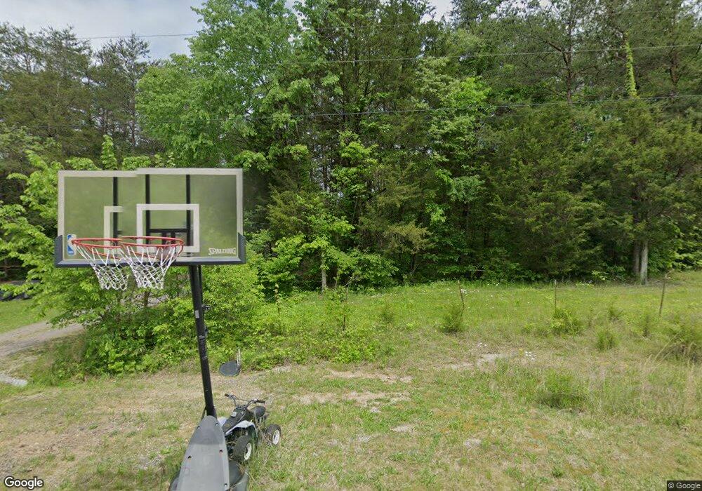
1310 Potter Creek Ln Mohawk, TN 37810
Estimated Value: $218,000 - $360,000
--
Bed
1
Bath
1,680
Sq Ft
$165/Sq Ft
Est. Value
About This Home
This home is located at 1310 Potter Creek Ln, Mohawk, TN 37810 and is currently estimated at $277,000, approximately $164 per square foot. 1310 Potter Creek Ln is a home with nearby schools including McDonald Elementary School, West Greene Middle Schools, and West Greene High School.
Ownership History
Date
Name
Owned For
Owner Type
Purchase Details
Closed on
May 6, 2022
Sold by
Adam Pierce
Bought by
Pierce Adam Gregory and Pierce Miranda Nicole
Current Estimated Value
Home Financials for this Owner
Home Financials are based on the most recent Mortgage that was taken out on this home.
Original Mortgage
$65,000
Outstanding Balance
$54,097
Interest Rate
4.52%
Mortgage Type
Balloon
Estimated Equity
$222,903
Purchase Details
Closed on
Feb 12, 2010
Sold by
Smith Catheryn J
Bought by
Pierce Adam
Purchase Details
Closed on
Apr 21, 2008
Sold by
Murr Mark T
Bought by
Smith Catheryn J
Create a Home Valuation Report for This Property
The Home Valuation Report is an in-depth analysis detailing your home's value as well as a comparison with similar homes in the area
Home Values in the Area
Average Home Value in this Area
Purchase History
| Date | Buyer | Sale Price | Title Company |
|---|---|---|---|
| Pierce Adam Gregory | -- | None Listed On Document | |
| Pierce Adam | $24,900 | -- | |
| Smith Catheryn J | $10,000 | -- |
Source: Public Records
Mortgage History
| Date | Status | Borrower | Loan Amount |
|---|---|---|---|
| Open | Pierce Adam Gregory | $65,000 |
Source: Public Records
Tax History Compared to Growth
Tax History
| Year | Tax Paid | Tax Assessment Tax Assessment Total Assessment is a certain percentage of the fair market value that is determined by local assessors to be the total taxable value of land and additions on the property. | Land | Improvement |
|---|---|---|---|---|
| 2024 | $786 | $47,625 | $5,825 | $41,800 |
| 2023 | $786 | $47,625 | $0 | $0 |
| 2022 | $494 | $24,500 | $3,325 | $21,175 |
| 2021 | $494 | $24,500 | $3,325 | $21,175 |
| 2020 | $494 | $24,500 | $3,325 | $21,175 |
| 2019 | $494 | $24,500 | $3,325 | $21,175 |
| 2018 | $494 | $24,500 | $3,325 | $21,175 |
| 2017 | $406 | $20,575 | $3,325 | $17,250 |
| 2016 | $385 | $20,575 | $3,325 | $17,250 |
| 2015 | $385 | $20,575 | $3,325 | $17,250 |
| 2014 | $385 | $20,575 | $3,325 | $17,250 |
Source: Public Records
Map
Nearby Homes
- 1700 Westwood Rd
- 1550 Mount Hope Rd
- 1550 Mount Hope Rd Unit 2
- 1550 Mount Hope Rd Unit 1
- 2750 Mountain Rd
- Tbd Copperhead Hollow Rd Unit LotWP001
- 5945 Union Grove Rd
- 100 Democrat Rd
- LOT 2 5375 Fred Marshall Rd
- 7194 Mountain Valley Rd
- LOT 1 5375 Fred Marshall Rd
- 7180 Mountain Valley Rd
- 7 W Andrew Johnson Hwy
- 330 Oasis Rd
- 1433 Silver City Rd
- 415 Stone Mountain Rd
- 6899 Beacon Light Rd
- 425 Oakwood Rd
- 350 N Vfw Rd
- 2.79 Ac U S 11e
- 1180 Potter Creek Ln
- 1637 Matthews Loop
- 1855 Matthews Loop
- 1060 Potter Creek Ln
- 1875 Matthews Loop
- 1515 Matthews Loop
- 1910 Matthews Loop
- 1425 Matthews Loop
- 1930 Matthews Loop
- 1345 Matthews Loop
- 1345 Matthews Loop
- 90 Potter Creek Loop
- 2170 Westwood Rd
- 20 Potter Creek Loop
- 20 Potter Creek Ln
- 2035 Matthews Loop
- 2035 Matthews Loop
- 2360 Westwood Rd
- 2280 Westwood Rd
- 0 Lots 1-4 Westwood Rd
