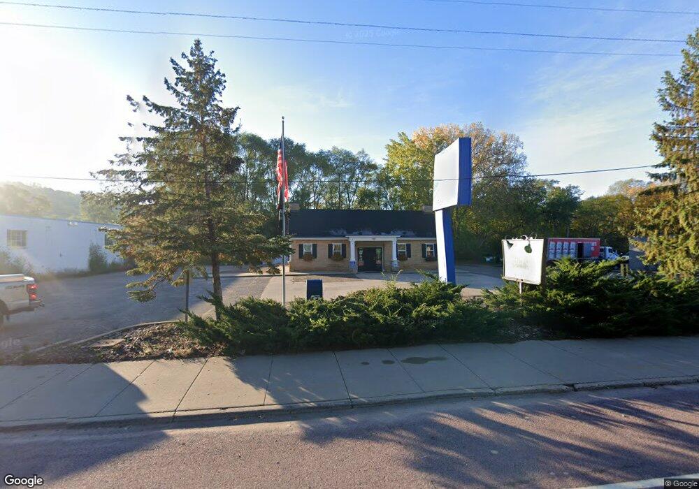
1310 Sibley Memorial Hwy Mendota, MN 55150
--
Bed
2
Baths
2,104
Sq Ft
0.35
Acres
About This Home
This home is located at 1310 Sibley Memorial Hwy, Mendota, MN 55150. 1310 Sibley Memorial Hwy is a home located in Dakota County with nearby schools including Mendota Elementary School, Friendly Hills Middle School, and Two Rivers High School.
Ownership History
Date
Name
Owned For
Owner Type
Purchase Details
Closed on
Feb 19, 2019
Sold by
Getten Dennis P and Getten Kathryn M
Bought by
Getten Dennis and Getten Kathryn Marie
Purchase Details
Closed on
Jul 31, 2015
Sold by
Mobius Studios Llc
Bought by
Getten Dennis P and Getten Kathryn M
Home Financials for this Owner
Home Financials are based on the most recent Mortgage that was taken out on this home.
Original Mortgage
$147,500
Interest Rate
4.08%
Mortgage Type
Purchase Money Mortgage
Purchase Details
Closed on
Feb 25, 2004
Sold by
Alford Arlie Amarie and Toye Jimmy L
Bought by
Mobius Studios Llc
Purchase Details
Closed on
Mar 31, 1997
Sold by
Hayes Companies Inc
Bought by
Toyes Jimmy L and Toye Arlie A
Create a Home Valuation Report for This Property
The Home Valuation Report is an in-depth analysis detailing your home's value as well as a comparison with similar homes in the area
Home Values in the Area
Average Home Value in this Area
Purchase History
| Date | Buyer | Sale Price | Title Company |
|---|---|---|---|
| Getten Dennis | -- | None Available | |
| Getten Dennis P | $287,000 | Land Title Inc | |
| Mobius Studios Llc | $271,000 | -- | |
| Toyes Jimmy L | $130,000 | -- | |
| Hayes Companies Inc | $74,800 | -- |
Source: Public Records
Mortgage History
| Date | Status | Borrower | Loan Amount |
|---|---|---|---|
| Previous Owner | Getten Dennis P | $147,500 |
Source: Public Records
Tax History Compared to Growth
Tax History
| Year | Tax Paid | Tax Assessment Tax Assessment Total Assessment is a certain percentage of the fair market value that is determined by local assessors to be the total taxable value of land and additions on the property. | Land | Improvement |
|---|---|---|---|---|
| 2024 | $4,714 | $261,500 | $109,200 | $152,300 |
| 2023 | $4,714 | $249,600 | $103,900 | $145,700 |
| 2022 | $4,754 | $226,900 | $95,200 | $131,700 |
| 2021 | $4,814 | $224,700 | $91,200 | $133,500 |
| 2020 | $5,084 | $224,700 | $91,200 | $133,500 |
| 2019 | $4,854 | $221,900 | $90,600 | $131,300 |
| 2018 | $5,046 | $214,400 | $90,600 | $123,800 |
| 2017 | $5,683 | $203,000 | $90,600 | $112,400 |
| 2016 | $5,897 | $201,900 | $90,600 | $111,300 |
| 2015 | $6,174 | $201,000 | $90,600 | $110,400 |
| 2014 | -- | $201,000 | $90,600 | $110,400 |
| 2013 | -- | $201,000 | $90,600 | $110,400 |
Source: Public Records
Map
Nearby Homes
- 360 E St
- 196X Glenhill Rd
- 1936 Glenhill Rd
- 1901 Lexington Ave S
- 1127 Sibley Memorial Hwy Unit 4
- 1840 Twin Circle Dr
- 2044 Patricia St
- 1680 Lexington Ave S
- 2053 Theresa St
- 1925 Walsh Ln
- 2275 Youngman Ave Unit 308W
- 2265 Youngman Ave Unit 207E
- 1101 Sibley Memorial Hwy Unit 303
- 1101 Sibley Memorial Hwy Unit 406
- 1077 Sibley Memorial Hwy Unit 506
- 1077 Sibley Memorial Hwy Unit 602
- 1800 Graham Ave Unit 334
- 1800 Graham Ave Unit 126
- 1800 Graham Ave Unit 411
- 1800 Graham Ave Unit 407
- 1309 2nd St
- 1301 2nd St
- 1319 2nd St
- 1300 Sibley Memorial Hwy
- 1324 Sibley Memorial Hwy
- XXX 2nd St
- 1304 2nd St
- 1310 2nd St
- 1296 2nd St
- 1332 Sibley Memorial Hwy
- 1331 2nd St
- 1348 Sibley Memorial Hwy
- 270 F St
- 210 G St
- 1336 Sibley Memorial Hwy
- 1333 Sibley Memorial Hwy
- 1335 2nd St
- 1345 2nd St
- 210 G St
- 1341 1341 2nd St