13100 Samantha Ann Dr Unit I Lanexa, VA 23089
Estimated Value: $576,411 - $780,000
3
Beds
3
Baths
1,620
Sq Ft
$402/Sq Ft
Est. Value
About This Home
This home is located at 13100 Samantha Ann Dr Unit I, Lanexa, VA 23089 and is currently estimated at $651,103, approximately $401 per square foot. 13100 Samantha Ann Dr Unit I is a home located in New Kent County with nearby schools including New Kent High School.
Ownership History
Date
Name
Owned For
Owner Type
Purchase Details
Closed on
Jan 10, 2023
Sold by
Phaup Douglas Wayne
Bought by
Hues Holly B and Hues Kevin
Current Estimated Value
Home Financials for this Owner
Home Financials are based on the most recent Mortgage that was taken out on this home.
Original Mortgage
$254,375
Interest Rate
6.42%
Mortgage Type
FHA
Create a Home Valuation Report for This Property
The Home Valuation Report is an in-depth analysis detailing your home's value as well as a comparison with similar homes in the area
Home Values in the Area
Average Home Value in this Area
Purchase History
| Date | Buyer | Sale Price | Title Company |
|---|---|---|---|
| Hues Holly B | $530,000 | Fidelity National Title |
Source: Public Records
Mortgage History
| Date | Status | Borrower | Loan Amount |
|---|---|---|---|
| Previous Owner | Hues Holly B | $254,375 |
Source: Public Records
Tax History Compared to Growth
Tax History
| Year | Tax Paid | Tax Assessment Tax Assessment Total Assessment is a certain percentage of the fair market value that is determined by local assessors to be the total taxable value of land and additions on the property. | Land | Improvement |
|---|---|---|---|---|
| 2025 | $3,228 | $538,000 | $141,700 | $396,300 |
| 2024 | $3,174 | $538,000 | $141,700 | $396,300 |
| 2023 | $3,468 | $517,600 | $92,900 | $424,700 |
| 2022 | $3,468 | $517,600 | $92,900 | $424,700 |
| 2021 | $2,673 | $338,400 | $88,500 | $249,900 |
| 2020 | $2,673 | $338,400 | $88,500 | $249,900 |
| 2019 | $2,667 | $325,300 | $71,200 | $254,100 |
| 2018 | $2,667 | $325,300 | $71,200 | $254,100 |
| 2017 | $2,372 | $285,800 | $71,200 | $214,600 |
| 2016 | $2,372 | $285,800 | $71,200 | $214,600 |
| 2015 | $2,740 | $326,200 | $69,000 | $257,200 |
| 2014 | -- | $326,200 | $69,000 | $257,200 |
Source: Public Records
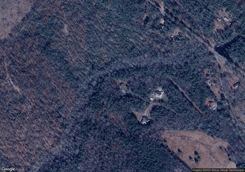
Map
Nearby Homes
- TBD Clarke Rd
- 000 Clarke Rd
- 7713 Leeds Castle Ln
- 7000 Oakfork Loop
- 00 Old Camp Rd
- 5720 Chaucer Dr
- 5570 Tyshire Pkwy
- 5950 Brickshire Dr
- 11451 Royal Ln
- 11955 Pergola Ct
- 5461 Tyshire Pkwy
- McDowell Plan at Brickshire
- Roanoke Plan at Brickshire
- Oxford Plan at Brickshire
- Drexel Plan at Brickshire
- Cypress Plan at Brickshire
- Colfax Plan at Brickshire
- Davidson Plan at Brickshire
- Caldwell Plan at Brickshire
- Asheboro Plan at Brickshire
- 13307 Samantha Ann Dr
- 13226 Samantha Ann Dr Unit J
- 13226 Samantha Ann Dr
- 13131 Samantha Ann Dr Unit L
- 13315 New Kent Hwy Unit H
- 13329 New Kent Hwy Unit C
- 13341 New Kent Hwy Unit E
- 13341 New Kent Hwy
- 13399 Stage Rd Unit A
- 13473 Stage Rd Unit B
- 13205 New Kent Hwy
- 13320 New Kent Hwy
- 13400 Stage Rd Unit B
- 13139 New Kent Hwy
- 13200 New Kent Hwy Unit I
- 13380 New Kent Hwy Unit G
- 13290 New Kent Hwy Unit J
- 13441 New Kent Hwy Unit C
- 13460 Stage Rd Unit A
- 13300 New Kent Hwy