1311 210th St Algona, IA 50511
Estimated Value: $347,000 - $480,000
Studio
--
Bath
1,814
Sq Ft
$227/Sq Ft
Est. Value
About This Home
This home is located at 1311 210th St, Algona, IA 50511 and is currently estimated at $412,001, approximately $227 per square foot. 1311 210th St is a home located in Kossuth County with nearby schools including Bertha Godfrey Elementary School, Lucia Wallace Elementary School, and Bryant Elementary School.
Ownership History
Date
Name
Owned For
Owner Type
Purchase Details
Closed on
Mar 1, 2006
Sold by
Mcguire Francis T and Mcguire Mary Kay
Bought by
Heupel Donald D and Heupel Janet C
Current Estimated Value
Home Financials for this Owner
Home Financials are based on the most recent Mortgage that was taken out on this home.
Original Mortgage
$100,000
Outstanding Balance
$56,729
Interest Rate
6.33%
Mortgage Type
New Conventional
Estimated Equity
$355,272
Create a Home Valuation Report for This Property
The Home Valuation Report is an in-depth analysis detailing your home's value as well as a comparison with similar homes in the area
Home Values in the Area
Average Home Value in this Area
Purchase History
| Date | Buyer | Sale Price | Title Company |
|---|---|---|---|
| Heupel Donald D | $255,000 | None Available |
Source: Public Records
Mortgage History
| Date | Status | Borrower | Loan Amount |
|---|---|---|---|
| Open | Heupel Donald D | $100,000 |
Source: Public Records
Tax History
| Year | Tax Paid | Tax Assessment Tax Assessment Total Assessment is a certain percentage of the fair market value that is determined by local assessors to be the total taxable value of land and additions on the property. | Land | Improvement |
|---|---|---|---|---|
| 2025 | $2,798 | $361,189 | $24,570 | $336,619 |
| 2024 | $2,798 | $317,895 | $24,570 | $293,325 |
| 2023 | $3,152 | $317,895 | $24,570 | $293,325 |
| 2022 | $2,754 | $295,789 | $24,570 | $271,219 |
| 2021 | $2,562 | $260,894 | $24,570 | $236,324 |
| 2020 | $2,524 | $238,279 | $24,570 | $213,709 |
| 2019 | $2,646 | $239,816 | $0 | $0 |
| 2018 | $2,482 | $239,816 | $0 | $0 |
| 2017 | $2,482 | $231,579 | $0 | $0 |
| 2016 | $2,368 | $231,579 | $0 | $0 |
| 2015 | $2,406 | $227,564 | $0 | $0 |
| 2014 | -- | $227,564 | $0 | $0 |
Source: Public Records
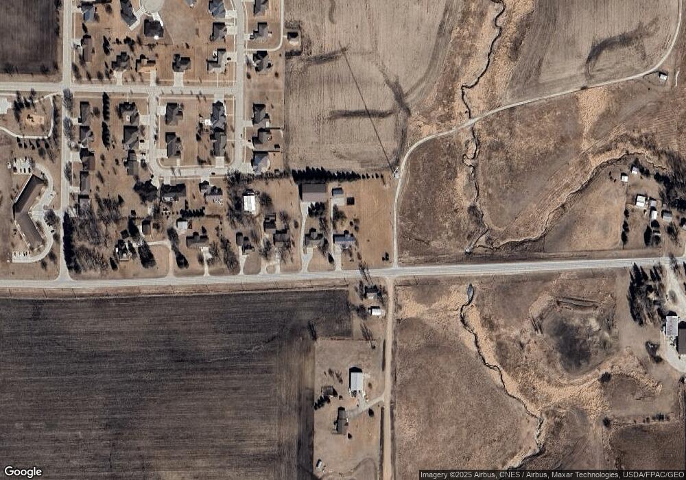
Map
Nearby Homes
- 122 Parkside Dr
- 1902 E State St
- 213 N Clarke St
- 2011 E Lucas St
- 1902 E Lucas St
- 1703 E Mcgregor St
- 1805 E Linden St
- 2317 E Spruce St
- 2313 E Spruce St
- 1708 E Oak St
- 2109 E Spruce St
- 1426 E Lucas St
- 120 S Roan St
- 1414 E Linden St
- 1809 E Locust St
- 702 Diagonal St
- 1317 E Commercial St
- 1014 E Call St
- 739 N Durant St
- 931 E Oak St
- 1307 210th St
- 226 Richardson Ct
- 232 Richardson Ct
- 1305 210th St
- 238 Richardson Ct
- 1310 210th St
- 220 Richardson Ct
- 231 Richardson Ct
- 1303 210th St
- 237 Richardson Ct
- 102 Diamond Dr
- 208 Richardson Ct
- 111 Richardson Ct
- 105 Richardson Ct
- 110 Diamond Dr
- 2615 E State St
- 2003 132nd Ave
- 109 Diamond Dr
- 202 Richardson Ct
- 118 Diamond Dr
Your Personal Tour Guide
Ask me questions while you tour the home.