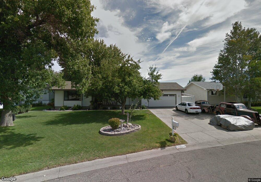
1311 Hardrock Ln Billings, MT 59105
Billings Heights NeighborhoodEstimated Value: $361,000 - $388,000
5
Beds
3
Baths
2,506
Sq Ft
$150/Sq Ft
Est. Value
About This Home
This home is located at 1311 Hardrock Ln, Billings, MT 59105 and is currently estimated at $376,282, approximately $150 per square foot. 1311 Hardrock Ln is a home located in Yellowstone County with nearby schools including Sandstone School, Castle Rock Junior High School, and Skyview High School.
Ownership History
Date
Name
Owned For
Owner Type
Purchase Details
Closed on
Dec 10, 2015
Sold by
Wildin Russell A and Wildin Rhonda J
Bought by
Cosgriffe Rick G and Milder Jane G
Current Estimated Value
Home Financials for this Owner
Home Financials are based on the most recent Mortgage that was taken out on this home.
Original Mortgage
$180,405
Outstanding Balance
$143,096
Interest Rate
3.96%
Mortgage Type
New Conventional
Estimated Equity
$233,186
Create a Home Valuation Report for This Property
The Home Valuation Report is an in-depth analysis detailing your home's value as well as a comparison with similar homes in the area
Home Values in the Area
Average Home Value in this Area
Purchase History
| Date | Buyer | Sale Price | Title Company |
|---|---|---|---|
| Cosgriffe Rick G | -- | First Montana Title |
Source: Public Records
Mortgage History
| Date | Status | Borrower | Loan Amount |
|---|---|---|---|
| Open | Cosgriffe Rick G | $180,405 |
Source: Public Records
Tax History Compared to Growth
Tax History
| Year | Tax Paid | Tax Assessment Tax Assessment Total Assessment is a certain percentage of the fair market value that is determined by local assessors to be the total taxable value of land and additions on the property. | Land | Improvement |
|---|---|---|---|---|
| 2025 | $3,547 | $388,900 | $65,857 | $323,043 |
| 2024 | $3,547 | $349,000 | $65,302 | $283,698 |
| 2023 | $3,551 | $349,000 | $65,302 | $283,698 |
| 2022 | $2,908 | $246,700 | $55,688 | $191,012 |
| 2021 | $2,762 | $246,700 | $0 | $0 |
| 2020 | $2,523 | $212,200 | $0 | $0 |
| 2019 | $2,415 | $212,200 | $0 | $0 |
| 2018 | $2,316 | $198,800 | $0 | $0 |
| 2017 | $2,252 | $198,800 | $0 | $0 |
| 2016 | $2,342 | $212,100 | $0 | $0 |
| 2015 | $2,200 | $202,000 | $0 | $0 |
| 2014 | $1,987 | $95,771 | $0 | $0 |
Source: Public Records
Map
Nearby Homes
- 10 Miners Place
- 1422 Watson Peak Rd
- 1485 Westchester Square E
- 1409 Twin Oaks Dr
- 1524 Westchester Square E
- 69 Nugget Place
- 269 Westchester Square S
- 1534 Westchester Square E Unit 6
- 237 Prospectors Ln
- 243 Westchester Square N Unit A2
- TBD Saint Andrews Dr
- 1034 Nutter Blvd
- 218 Reda Ln Unit 3
- 218 Reda Ln Unit 4
- 225 Windsor Cir N
- 130 132 Stillwater Ln
- lot 12 Southern Sky Estates
- 1152 Toole Ct
- 104 Stillwater Ln
- 1703 Cody Dr
- 1317 Hardrock Ln
- 1319 Hardrock Ln
- 1301 Hardrock Ln
- 1327 Hardrock Ln
- 1327 Hardrock Ln Unit 1327 hardrock 2
- 1310 Hardrock Ln
- 1281 Hardrock Ln
- 1330 Hardrock Ln
- 1335 Hardrock Ln
- 1344 Watson Peak Rd
- 1356 Watson Peak Rd
- 1292 Grubstake Cir
- 1271 Hardrock Ln
- 1332 Watson Peak Rd
- 1332 Watson Peak Rd
- 1368 Watson Peak Rd
- 1341 Hardrock Ln
- 1270 Hardrock Ln
- 1350 Hardrock Ln
- 1320 Watson Peak Rd