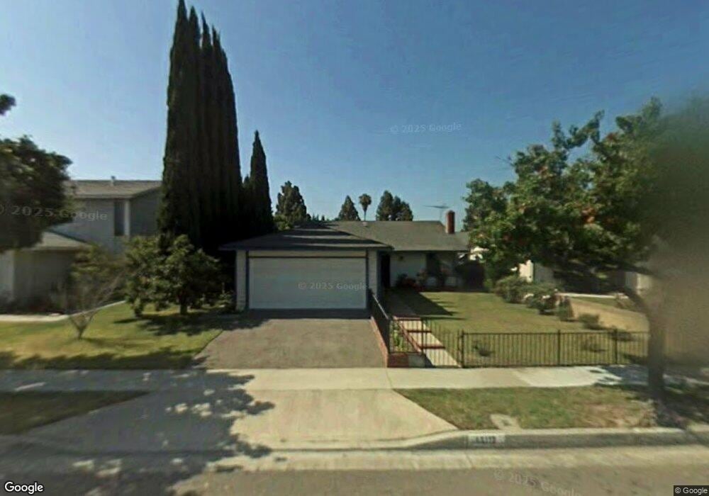
13112 Andy St Cerritos, CA 90703
Estimated Value: $905,914 - $1,093,000
4
Beds
2
Baths
1,258
Sq Ft
$814/Sq Ft
Est. Value
About This Home
This home is located at 13112 Andy St, Cerritos, CA 90703 and is currently estimated at $1,023,729, approximately $813 per square foot. 13112 Andy St is a home located in Los Angeles County with nearby schools including Frank C. Leal Elementary School, Tetzlaff (Martin B.) Middle School, and Cerritos High School.
Ownership History
Date
Name
Owned For
Owner Type
Purchase Details
Closed on
Jul 11, 2010
Sold by
Cheng Chao Yuan
Bought by
Cheng Paul and Yu Jian Jung
Current Estimated Value
Purchase Details
Closed on
Nov 11, 1997
Sold by
Yu Ming Li
Bought by
Yu Wei Chih
Home Financials for this Owner
Home Financials are based on the most recent Mortgage that was taken out on this home.
Original Mortgage
$130,200
Interest Rate
7.23%
Purchase Details
Closed on
Sep 23, 1997
Sold by
Wang Shiaw Wei
Bought by
Cheng Chao Yuan and Yu Jia Lung
Home Financials for this Owner
Home Financials are based on the most recent Mortgage that was taken out on this home.
Original Mortgage
$130,200
Interest Rate
7.23%
Create a Home Valuation Report for This Property
The Home Valuation Report is an in-depth analysis detailing your home's value as well as a comparison with similar homes in the area
Home Values in the Area
Average Home Value in this Area
Purchase History
| Date | Buyer | Sale Price | Title Company |
|---|---|---|---|
| Cheng Paul | -- | None Available | |
| Cheng Chao Yuan | -- | None Available | |
| Yu Wei Chih | -- | -- | |
| Cheng Chao Yuan | $217,000 | -- |
Source: Public Records
Mortgage History
| Date | Status | Borrower | Loan Amount |
|---|---|---|---|
| Previous Owner | Cheng Chao Yuan | $130,200 |
Source: Public Records
Tax History Compared to Growth
Tax History
| Year | Tax Paid | Tax Assessment Tax Assessment Total Assessment is a certain percentage of the fair market value that is determined by local assessors to be the total taxable value of land and additions on the property. | Land | Improvement |
|---|---|---|---|---|
| 2025 | $4,063 | $328,001 | $144,461 | $183,540 |
| 2024 | $4,063 | $321,571 | $141,629 | $179,942 |
| 2023 | $3,934 | $315,266 | $138,852 | $176,414 |
| 2022 | $3,873 | $309,085 | $136,130 | $172,955 |
| 2021 | $3,850 | $303,025 | $133,461 | $169,564 |
| 2019 | $3,763 | $294,039 | $129,503 | $164,536 |
| 2018 | $3,477 | $288,274 | $126,964 | $161,310 |
| 2016 | $3,334 | $277,083 | $122,035 | $155,048 |
| 2015 | $3,293 | $272,922 | $120,202 | $152,720 |
| 2014 | $3,233 | $267,577 | $117,848 | $149,729 |
Source: Public Records
Map
Nearby Homes
- 13044 Hedda Ln
- 19008 Jeffrey Ave
- 13210 Sutton St
- 19118 Martha Ave
- 18006 Point Conception Place
- 18517 Betty Way
- 12711 Castleford Ln
- 19335 Derbyshire Ln
- 13010 Artesia Blvd
- 12967 Moorshire Dr
- 7152 Caprice Cir
- 5412 Bransford Dr
- 7862 Squaw Valley Way
- 12567 Semora St
- 12360 Hedda Dr
- 12361 Caravel Place
- 12525 Semora St
- 0 Parcel: 7016-014-017 Ave Unit PW25183248
- 12356 Reva St
- 5568 Ozawa Cir
- 13116 Andy St
- 13106 Andy St
- 13122 Andy St
- 13100 Andy St
- 13113 Droxford St
- 13107 Droxford St
- 13117 Droxford St
- 13103 Droxford St
- 13121 Droxford St
- 13128 Andy St
- 13064 Andy St
- 13113 Andy St
- 13109 Andy St
- 13117 Andy St
- 13065 Droxford St
- 13125 Droxford St
- 13103 Andy St
- 13123 Andy St
- 13132 Andy St
- 13058 Andy St