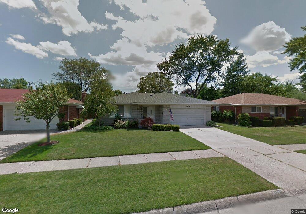
13120 Cromie Dr Warren, MI 48088
Northeast Warren NeighborhoodEstimated Value: $244,000 - $265,567
3
Beds
2
Baths
1,436
Sq Ft
$179/Sq Ft
Est. Value
About This Home
This home is located at 13120 Cromie Dr, Warren, MI 48088 and is currently estimated at $256,892, approximately $178 per square foot. 13120 Cromie Dr is a home located in Macomb County with nearby schools including Wilkerson Elementary School, Carter Middle School, and Paul K. Cousino High School.
Ownership History
Date
Name
Owned For
Owner Type
Purchase Details
Closed on
Apr 22, 2009
Sold by
Mortgage Electronic Registration Systems
Bought by
Jpmorgan Chase Bank National Association
Current Estimated Value
Purchase Details
Closed on
Apr 17, 2009
Sold by
Cadieux Jeffrey and Cadieux Jennifer
Bought by
Mortgage Electronic Registration Systems
Purchase Details
Closed on
Mar 28, 2007
Sold by
Cadieux Jeffrey T and Cadieux Jeffrey Theodore
Bought by
Cadieux Jennifer A
Purchase Details
Closed on
Jul 22, 2003
Sold by
Wilewicz Anthony J and Wilewicz Delores
Bought by
Cadieux Jeffrey and Cadieux Jennifer
Create a Home Valuation Report for This Property
The Home Valuation Report is an in-depth analysis detailing your home's value as well as a comparison with similar homes in the area
Home Values in the Area
Average Home Value in this Area
Purchase History
| Date | Buyer | Sale Price | Title Company |
|---|---|---|---|
| Jpmorgan Chase Bank National Association | -- | None Available | |
| Mortgage Electronic Registration Systems | $118,400 | None Available | |
| Cadieux Jennifer A | -- | None Available | |
| Cadieux Jeffrey | $163,900 | Premier Title Agency Llc |
Source: Public Records
Tax History Compared to Growth
Tax History
| Year | Tax Paid | Tax Assessment Tax Assessment Total Assessment is a certain percentage of the fair market value that is determined by local assessors to be the total taxable value of land and additions on the property. | Land | Improvement |
|---|---|---|---|---|
| 2025 | $3,369 | $125,540 | $0 | $0 |
| 2024 | $3,274 | $114,750 | $0 | $0 |
| 2023 | $3,103 | $104,010 | $0 | $0 |
| 2022 | $2,999 | $90,830 | $0 | $0 |
| 2021 | $3,051 | $83,710 | $0 | $0 |
| 2020 | $2,942 | $78,060 | $0 | $0 |
| 2019 | $2,837 | $74,970 | $0 | $0 |
| 2018 | $81 | $65,060 | $0 | $0 |
| 2017 | $2,844 | $58,010 | $10,040 | $47,970 |
| 2016 | $2,841 | $58,010 | $0 | $0 |
| 2015 | -- | $56,430 | $0 | $0 |
| 2012 | -- | $49,890 | $0 | $0 |
Source: Public Records
Map
Nearby Homes
- 30252 Newport Dr
- 13325 Iowa Dr
- 30419 Iroquois Dr
- 29667 Newport Dr
- 29820 Palomino Dr
- 30052 Schoenherr Rd
- 30040 Schoenherr Rd
- 30806 Ridgefield Ave
- 30154 Pinto Dr
- 29365 Dover Ave
- 29379 Newport Dr
- 30834 Iroquois Dr
- 13740 Iowa Dr
- 29723 Roan Dr
- 13265 Geoffry Dr
- 29266 Moulin Ave
- 30719 Bradner Dr
- 13264 Geoffry Dr
- 12490 E 13 Mile Rd
- 30139 Flanders Ave
- 13132 Cromie Dr
- 13108 Cromie Dr
- 13065 Common Rd
- 13144 Cromie Dr
- 13103 Common Rd
- 13053 Common Rd
- 13115 Common Rd
- 13121 Cromie Dr
- 13133 Cromie Dr
- 13156 Cromie Dr
- 13109 Cromie Dr
- 13048 Cromie Dr
- 13145 Cromie Dr
- 13127 Common Rd
- 13027 Common Rd
- 13204 Cromie Dr
- 13157 Cromie Dr
- 13036 Cromie Dr
- 13049 Cromie Dr
- 13139 Common Rd