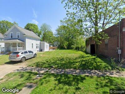
1315 Curtis St Akron, OH 44301
South Akron NeighborhoodEstimated Value: $32,348 - $83,000
6
Beds
1
Bath
1,869
Sq Ft
$34/Sq Ft
Est. Value
About This Home
This home is located at 1315 Curtis St, Akron, OH 44301 and is currently estimated at $63,587, approximately $34 per square foot. 1315 Curtis St is a home located in Summit County with nearby schools including McEbright Elementary School, Kenmore Garfield Community Learning Center, and Main Preparatory Academy.
Ownership History
Date
Name
Owned For
Owner Type
Purchase Details
Closed on
May 9, 2006
Sold by
Piscazzi Enterprises Llc
Bought by
Tell Stewart Investments Ltd
Current Estimated Value
Purchase Details
Closed on
Jul 12, 2005
Sold by
Henderson Deloris and Banks Aslea
Bought by
Piscazzi Enterprises Llc
Purchase Details
Closed on
Nov 10, 2003
Sold by
Estate Of Albert Earl Banks
Bought by
Banks Aslea
Create a Home Valuation Report for This Property
The Home Valuation Report is an in-depth analysis detailing your home's value as well as a comparison with similar homes in the area
Home Values in the Area
Average Home Value in this Area
Purchase History
| Date | Buyer | Sale Price | Title Company |
|---|---|---|---|
| Tell Stewart Investments Ltd | $25,000 | Clear Title Solutions | |
| Piscazzi Enterprises Llc | -- | Clear Title Solutions | |
| Banks Aslea | -- | -- |
Source: Public Records
Tax History Compared to Growth
Tax History
| Year | Tax Paid | Tax Assessment Tax Assessment Total Assessment is a certain percentage of the fair market value that is determined by local assessors to be the total taxable value of land and additions on the property. | Land | Improvement |
|---|---|---|---|---|
| 2025 | $61,919 | $4,095 | $4,095 | -- |
| 2024 | $1,262 | $4,095 | $4,095 | -- |
| 2023 | $61,919 | $4,095 | $4,095 | $0 |
| 2022 | $1,525 | $3,441 | $3,441 | $0 |
| 2021 | $2,472 | $3,441 | $3,441 | $0 |
| 2020 | $2,993 | $3,440 | $3,440 | $0 |
| 2019 | $2,861 | $4,520 | $4,520 | $0 |
| 2018 | $1,847 | $4,520 | $4,520 | $0 |
| 2017 | $5,294 | $4,520 | $4,520 | $0 |
| 2016 | $418 | $4,520 | $4,520 | $0 |
| 2015 | $5,294 | $4,520 | $4,520 | $0 |
| 2014 | $1,749 | $4,520 | $4,520 | $0 |
| 2013 | $2,851 | $14,030 | $4,520 | $9,510 |
Source: Public Records
Map
Nearby Homes
- 97 E Emerling Ave
- 1166 Bellows St
- 1214 Bellows St
- 27 E Emerling Ave
- 97 Brighton Dr
- 1238 Girard St
- 12 Lake St
- 163 E Mapledale Ave
- 1122 Sherman St
- 1273 Girard St
- 87 E Ido Ave
- 88 E Ido Ave
- 1363 Bellows St
- 1226 Edison Ave
- 1180 Wilbur Ave
- 1055 Yale St
- 1100 Beardsley St
- 1100 Edison Ave
- 436 Cole Ave
- 1278 Beardsley St