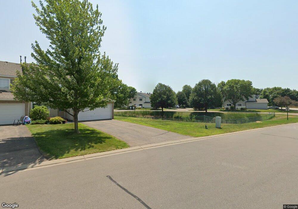
1316 Highpoint Curve Shakopee, MN 55379
Estimated Value: $248,000 - $256,000
2
Beds
2
Baths
1,276
Sq Ft
$198/Sq Ft
Est. Value
About This Home
This home is located at 1316 Highpoint Curve, Shakopee, MN 55379 and is currently estimated at $252,414, approximately $197 per square foot. 1316 Highpoint Curve is a home located in Scott County with nearby schools including Jackson Elementary School, East Middle School, and Shakopee Senior High School.
Ownership History
Date
Name
Owned For
Owner Type
Purchase Details
Closed on
Dec 15, 2005
Sold by
Leise David A and Leise Dorinda K
Bought by
Truong Hoi
Current Estimated Value
Purchase Details
Closed on
Sep 10, 1999
Sold by
Pulte Homes Of Minnesota Corp
Bought by
Leise David A and Leise Dorinda K
Create a Home Valuation Report for This Property
The Home Valuation Report is an in-depth analysis detailing your home's value as well as a comparison with similar homes in the area
Home Values in the Area
Average Home Value in this Area
Purchase History
| Date | Buyer | Sale Price | Title Company |
|---|---|---|---|
| Truong Hoi | $166,900 | -- | |
| Leise David A | $108,985 | -- |
Source: Public Records
Tax History Compared to Growth
Tax History
| Year | Tax Paid | Tax Assessment Tax Assessment Total Assessment is a certain percentage of the fair market value that is determined by local assessors to be the total taxable value of land and additions on the property. | Land | Improvement |
|---|---|---|---|---|
| 2025 | $2,182 | $238,200 | $76,100 | $162,100 |
| 2024 | $2,264 | $227,200 | $72,400 | $154,800 |
| 2023 | $2,320 | $224,000 | $71,000 | $153,000 |
| 2022 | $2,282 | $225,700 | $72,700 | $153,000 |
| 2021 | $1,934 | $194,100 | $57,000 | $137,100 |
| 2020 | $2,150 | $183,500 | $47,300 | $136,200 |
| 2019 | $1,954 | $179,900 | $50,000 | $129,900 |
| 2018 | $1,860 | $0 | $0 | $0 |
| 2016 | $1,688 | $0 | $0 | $0 |
| 2014 | -- | $0 | $0 | $0 |
Source: Public Records
Map
Nearby Homes
- 1022 Providence Dr
- 1590 Countryside Dr Unit 5108
- 849 Providence Dr
- 826 Princeton Ave
- 1820 Mockingbird Ave
- 668 Cobblestone Way
- 1844 Mockingbird Ave Unit 1102
- 1562 Liberty Cir Unit 2403
- 793 Lupine Ct
- 291 Appleblossom Ln
- 1552 Dublin Ct
- 2052 Wilhelm Ct
- 335 Bluestem Ave
- 1573 Creekside Ln
- 2312 Vierling Dr E
- 2471 Tyrone Dr
- 2447 Tyrone Dr
- 2399 Tyrone Dr
- 2263 Tyrone Dr
- 1511 England Way
- 1332 Highpoint Curve
- 1320 Highpoint Curve
- 1336 Highpoint Curve
- 1324 Highpoint Curve
- 1340 Highpoint Curve Unit 67
- 1328 1328 Hightpoint--
- 1328 Highpoint Curve
- 1344 Highpoint Curve
- 1302 Highpoint Curve
- 1304 Highpoint Curve
- 1308 Highpoint Curve
- 1308 Highpoint Curve Unit 75
- 1352 Highpoint Curve Unit 63
- 1348 Highpoint Curve
- 1747 Weston Ln
- 1751 Weston Ln
- 1356 Highpoint Curve Unit 62
- 1745 Crestview St
- 1312 Highpoint Curve
- 1365 Highpoint Curve