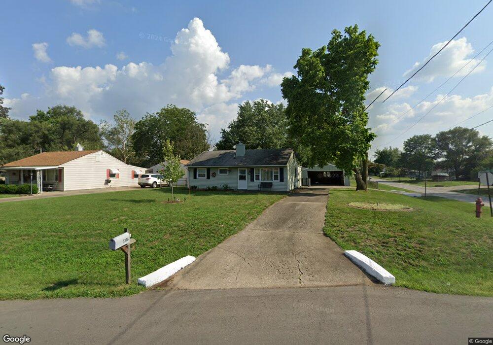
1316 Pershing Ave Middletown, OH 45044
Amanda-Oneida NeighborhoodEstimated Value: $115,000 - $158,000
2
Beds
1
Bath
996
Sq Ft
$137/Sq Ft
Est. Value
About This Home
This home is located at 1316 Pershing Ave, Middletown, OH 45044 and is currently estimated at $136,670, approximately $137 per square foot. 1316 Pershing Ave is a home located in Butler County with nearby schools including Amanda Elementary School, Highview 6th Grade Center, and Middletown Middle School.
Ownership History
Date
Name
Owned For
Owner Type
Purchase Details
Closed on
Apr 23, 2004
Sold by
Gibson Heather L
Bought by
Gibson Heather L and Smallwood Leslie K
Current Estimated Value
Purchase Details
Closed on
Feb 12, 2003
Sold by
Gibson Glen C
Bought by
Gibson Heather
Purchase Details
Closed on
Feb 7, 2003
Sold by
Gibson Bruce and Gibson Cynthia
Bought by
Gibson Heather
Purchase Details
Closed on
Feb 6, 2003
Sold by
Overbey Lisa G and Overbey Richard
Bought by
Gibson Heather
Purchase Details
Closed on
Feb 5, 2003
Sold by
Brown Sherry G
Bought by
Gibson Heather
Create a Home Valuation Report for This Property
The Home Valuation Report is an in-depth analysis detailing your home's value as well as a comparison with similar homes in the area
Home Values in the Area
Average Home Value in this Area
Purchase History
| Date | Buyer | Sale Price | Title Company |
|---|---|---|---|
| Gibson Heather L | -- | -- | |
| Gibson Heather | -- | Custom Land Title Llc | |
| Gibson Heather | -- | -- | |
| Gibson Heather | -- | Custom Land Title Llc | |
| Gibson Heather | -- | -- |
Source: Public Records
Tax History
| Year | Tax Paid | Tax Assessment Tax Assessment Total Assessment is a certain percentage of the fair market value that is determined by local assessors to be the total taxable value of land and additions on the property. | Land | Improvement |
|---|---|---|---|---|
| 2025 | $5,737 | $31,380 | $6,970 | $24,410 |
| 2024 | $5,737 | $31,380 | $6,970 | $24,410 |
| 2023 | $1,653 | $33,020 | $6,970 | $26,050 |
| 2022 | $5,110 | $22,630 | $6,970 | $15,660 |
| 2021 | $1,298 | $22,630 | $6,970 | $15,660 |
| 2020 | $1,352 | $22,630 | $6,970 | $15,660 |
| 2019 | $1,250 | $17,250 | $7,050 | $10,200 |
| 2018 | $1,117 | $17,250 | $7,050 | $10,200 |
| 2017 | $1,119 | $17,250 | $7,050 | $10,200 |
| 2016 | $1,019 | $15,440 | $7,050 | $8,390 |
| 2015 | $1,004 | $15,440 | $7,050 | $8,390 |
| 2014 | $8,466 | $15,440 | $7,050 | $8,390 |
| 2013 | $8,466 | $22,710 | $7,050 | $15,660 |
Source: Public Records
Map
Nearby Homes
- 3106 Rufus St
- 1505 Pershing Ave
- 3113 Rufus St
- 3202 Ben Harrison St
- 1613 Sheridan Ave
- 3210 Finley St
- 2804 Yankee Rd
- 712 Buena Ave
- 1808 Meadow Ave
- 609 Buena Ave
- 3221 Yankee Rd
- 3222 Mohawk St
- 1619 Lafayette Ave
- 3102 Omaha St
- 3101 Omaha St
- 1503 Brown St
- 2924 Seneca St
- 1815 Baltimore St
- 802 17th Ave
- 3209 Seneca St
- 1318 Pershing Ave
- 3003 Brent Dr
- 1310 Pershing Ave
- 1320 Pershing Ave
- 3005 Brent Dr
- 1308 Pershing Ave
- 1322 Pershing Ave
- 1315 Pershing Ave
- 1317 Pershing Ave
- 1313 Pershing Ave
- 1319 Pershing Ave
- 3007 Brent Dr
- 3006 Ogden Dr
- 3004 Brent Dr
- 1306 Pershing Ave
- 1311 Pershing Ave
- 1324 Pershing Ave
- 1321 Pershing Ave
- 3008 Ogden Dr
- 3006 Brent Dr
Your Personal Tour Guide
Ask me questions while you tour the home.