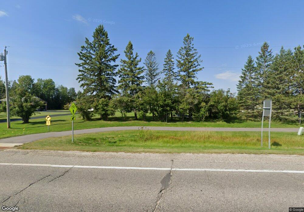
1317 Division St Deer River, MN 56636
Estimated Value: $166,000 - $240,492
2
Beds
--
Bath
1,480
Sq Ft
$137/Sq Ft
Est. Value
About This Home
This home is located at 1317 Division St, Deer River, MN 56636 and is currently estimated at $203,373, approximately $137 per square foot. 1317 Division St is a home located in Itasca County with nearby schools including King Elementary School and Deer River Secondary School.
Ownership History
Date
Name
Owned For
Owner Type
Purchase Details
Closed on
Apr 28, 2008
Sold by
Gully Farm Enterprises Inc
Bought by
Isaacs Timothy P and Isaacs Jodi A
Current Estimated Value
Home Financials for this Owner
Home Financials are based on the most recent Mortgage that was taken out on this home.
Original Mortgage
$115,000
Outstanding Balance
$72,829
Interest Rate
5.88%
Mortgage Type
New Conventional
Estimated Equity
$130,544
Purchase Details
Closed on
Sep 6, 2005
Sold by
Gully Farm Enterprises Inc
Bought by
Brink William A
Create a Home Valuation Report for This Property
The Home Valuation Report is an in-depth analysis detailing your home's value as well as a comparison with similar homes in the area
Home Values in the Area
Average Home Value in this Area
Purchase History
| Date | Buyer | Sale Price | Title Company |
|---|---|---|---|
| Isaacs Timothy P | $155,000 | None Available | |
| Brink William A | $200,000 | None Available |
Source: Public Records
Mortgage History
| Date | Status | Borrower | Loan Amount |
|---|---|---|---|
| Open | Isaacs Timothy P | $115,000 |
Source: Public Records
Tax History Compared to Growth
Tax History
| Year | Tax Paid | Tax Assessment Tax Assessment Total Assessment is a certain percentage of the fair market value that is determined by local assessors to be the total taxable value of land and additions on the property. | Land | Improvement |
|---|---|---|---|---|
| 2024 | $2,996 | $228,100 | $16,600 | $211,500 |
| 2023 | $2,996 | $228,100 | $16,600 | $211,500 |
| 2022 | $3,046 | $228,100 | $16,600 | $211,500 |
| 2021 | $2,952 | $185,000 | $17,000 | $168,000 |
| 2020 | $3,144 | $184,400 | $17,000 | $167,400 |
| 2019 | $2,700 | $184,400 | $17,000 | $167,400 |
| 2018 | $2,104 | $184,400 | $17,000 | $167,400 |
| 2017 | $1,950 | $0 | $0 | $0 |
| 2016 | $1,866 | $0 | $0 | $0 |
| 2015 | $3,190 | $0 | $0 | $0 |
| 2014 | -- | $0 | $0 | $0 |
Source: Public Records
Map
Nearby Homes
- 1303 NW 1st St
- Lt 9 Blk 4 Aspen Dr
- Lt 4 Blk 4 Aspen Dr
- Lt 1 Blk 4 Aspen Dr
- Lt 3 Blk 3 Aspen Dr
- Lt 2 Blk 3 Aspen Dr
- Lt 1 Blk 1 Aspen Dr
- Lt 3 Blk 2 Tamarack Ln
- 20 Main Ave
- 302 4th St SE
- 726 2nd St W
- 32601 State Highway 46
- 47946 Us Highway 2
- 44084 County Road 19
- 36466 Juniper Rd
- 48966 U S 2
- 40640 County Road 128
- TBDXX County Road 19
- 26299 County Road 11
- 39098 County Road 19
- TBD State Highway 6
- 1311 Division St
- 1323 Division St
- 1303 Oakwood Dr
- 1302 Oakwood Dr
- 1301 Oakwood Dr
- 10 14th Ave NW
- 32712 State Highway 6
- 2 NW 146th Ave
- 45287 County Road 186
- 32736 State Highway 6
- 1133 Division St
- 32798 State Highway 6
- 1133 Division St
- 1410 Aspen Dr
- 1031 Division St
- TBD NW 146th Ave
- 1404 Aspen Dr
- 1026 Division St
- 1406 Aspen Dr
