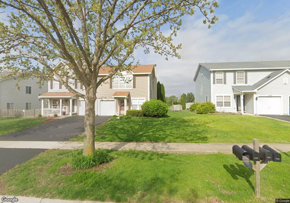
1318 Burns Ln Minooka, IL 60447
Estimated Value: $208,000 - $275,000
Studio
--
Bath
1,700
Sq Ft
$149/Sq Ft
Est. Value
About This Home
This home is located at 1318 Burns Ln, Minooka, IL 60447 and is currently estimated at $252,596, approximately $148 per square foot. 1318 Burns Ln is a home with nearby schools including Minooka Primary Center, Aux Sable Elementary School, and Minooka Junior High School.
Ownership History
Date
Name
Owned For
Owner Type
Purchase Details
Closed on
Oct 10, 2020
Sold by
Follis Christopher W and Follis Kerry A
Bought by
Elgersma Mark and Elgersma Lauren
Current Estimated Value
Home Financials for this Owner
Home Financials are based on the most recent Mortgage that was taken out on this home.
Original Mortgage
$144,000
Outstanding Balance
$128,609
Interest Rate
3.13%
Mortgage Type
Construction
Estimated Equity
$123,987
Create a Home Valuation Report for This Property
The Home Valuation Report is an in-depth analysis detailing your home's value as well as a comparison with similar homes in the area
Purchase History
| Date | Buyer | Sale Price | Title Company |
|---|---|---|---|
| Elgersma Mark | $180,000 | Lakeland Title |
Source: Public Records
Mortgage History
| Date | Status | Borrower | Loan Amount |
|---|---|---|---|
| Open | Elgersma Mark | $144,000 |
Source: Public Records
Tax History
| Year | Tax Paid | Tax Assessment Tax Assessment Total Assessment is a certain percentage of the fair market value that is determined by local assessors to be the total taxable value of land and additions on the property. | Land | Improvement |
|---|---|---|---|---|
| 2024 | $5,236 | $65,272 | $8,184 | $57,088 |
| 2023 | $4,772 | $59,495 | $7,460 | $52,035 |
| 2022 | $3,956 | $55,318 | $6,936 | $48,382 |
| 2021 | $3,777 | $52,365 | $6,566 | $45,799 |
| 2020 | $3,674 | $50,092 | $6,281 | $43,811 |
| 2019 | $3,454 | $46,382 | $5,816 | $40,566 |
| 2018 | $3,454 | $45,411 | $5,751 | $39,660 |
| 2017 | $3,343 | $43,364 | $5,492 | $37,872 |
| 2016 | $3,108 | $40,706 | $5,155 | $35,551 |
| 2015 | $2,802 | $37,002 | $4,686 | $32,316 |
| 2014 | $2,712 | $38,797 | $5,575 | $33,222 |
| 2013 | $2,789 | $39,320 | $5,650 | $33,670 |
Source: Public Records
Map
Nearby Homes
- 1315 Burns Ln
- 1403 Fabiola Ct S
- 1308 Dahlgren Ln
- 825 Grant Dr
- 1509 Donegal Dr
- 1923 Waters Edge Dr
- 651 Chestnut Ridge
- 802 Joanne Dr
- 526 Lily Ct
- 500 Prairie View Dr
- 2080 Waters Edge Dr
- 815 Heritage Woods Dr
- 817 Heritage Woods Dr
- 605 High Grove Dr
- 520 High Grove Dr
- 1138 Coneflower Ct
- 1451 Red Top Ln
- 27410 W Porto Ln
- 601 Edgewater Dr
- 27357 W Porto Ln
- 1316 Burns Ln Unit 1316
- 1316 Burns Ln
- 1320 Burns Ln
- 1314 Burns Ln
- 1322 Burns Ln
- 1312 Burns Ln
- 1324 Burns Ln
- 1310 Burns Ln
- 1326 Burns Ln
- 1317 Burns Ln
- 1319 Burns Ln Unit 1319
- 1308 Burns Ln
- 1313 Burns Ln
- 1321 Burns Ln
- 1323 Burns Ln
- 1306 Burns Ln Unit 1448
- 1306 Burns Ln
- 1311 Burns Ln
- 1311 Burns Ln Unit 6092
- 1325 Burns Ln
Your Personal Tour Guide
Ask me questions while you tour the home.