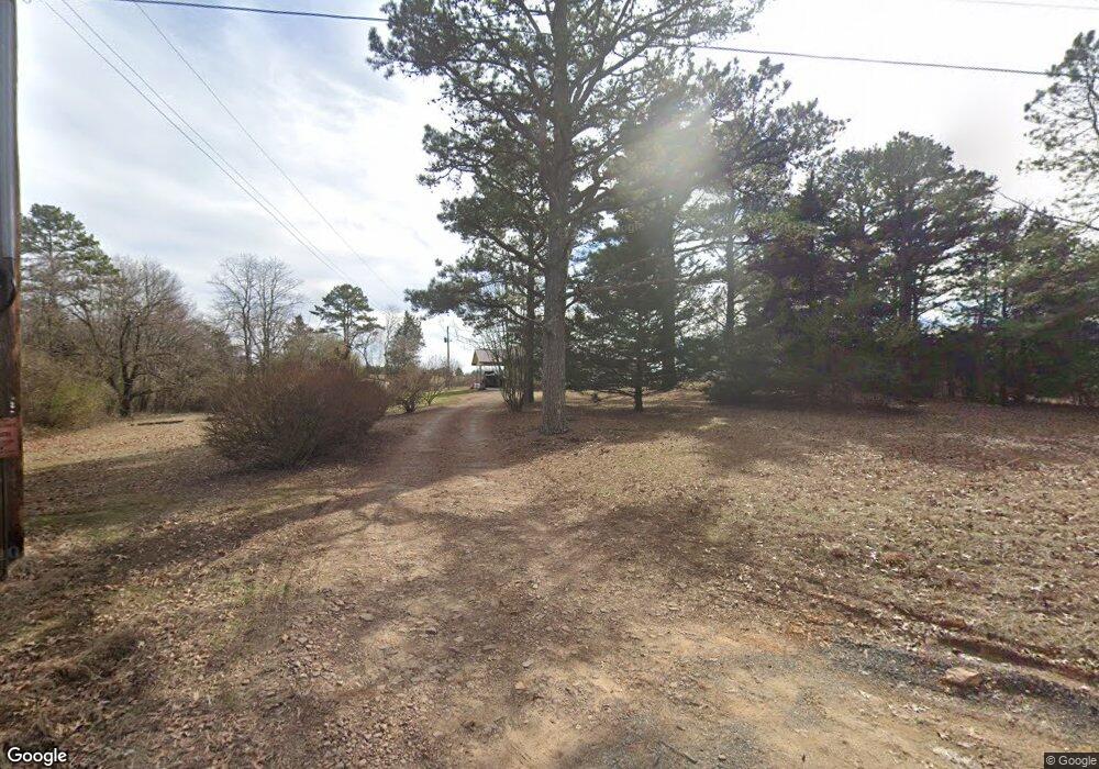
1319 Southside Rd Bee Branch, AR 72013
Estimated Value: $79,476 - $207,000
--
Bed
2
Baths
1,269
Sq Ft
$128/Sq Ft
Est. Value
About This Home
This home is located at 1319 Southside Rd, Bee Branch, AR 72013 and is currently estimated at $162,619, approximately $128 per square foot. 1319 Southside Rd is a home located in Van Buren County with nearby schools including South Side Elementary School and South Side High School.
Ownership History
Date
Name
Owned For
Owner Type
Purchase Details
Closed on
Jul 18, 2005
Sold by
Burchfield Dorothy
Bought by
Patty Theresa
Current Estimated Value
Purchase Details
Closed on
Jun 26, 2003
Bought by
State
Purchase Details
Closed on
Jun 15, 1994
Bought by
Burchfield
Create a Home Valuation Report for This Property
The Home Valuation Report is an in-depth analysis detailing your home's value as well as a comparison with similar homes in the area
Home Values in the Area
Average Home Value in this Area
Purchase History
| Date | Buyer | Sale Price | Title Company |
|---|---|---|---|
| Patty Theresa | $33,500 | None Available | |
| State | -- | -- | |
| Burchfield | $37,000 | -- |
Source: Public Records
Tax History Compared to Growth
Tax History
| Year | Tax Paid | Tax Assessment Tax Assessment Total Assessment is a certain percentage of the fair market value that is determined by local assessors to be the total taxable value of land and additions on the property. | Land | Improvement |
|---|---|---|---|---|
| 2024 | $504 | $10,970 | $920 | $10,050 |
| 2023 | $129 | $10,970 | $920 | $10,050 |
| 2022 | $179 | $10,970 | $920 | $10,050 |
| 2021 | $179 | $10,970 | $920 | $10,050 |
| 2020 | $179 | $10,970 | $920 | $10,050 |
| 2019 | $167 | $10,720 | $920 | $9,800 |
| 2018 | $192 | $10,720 | $920 | $9,800 |
| 2017 | $488 | $10,720 | $920 | $9,800 |
| 2015 | -- | $11,080 | $920 | $10,160 |
| 2014 | -- | $11,080 | $920 | $10,160 |
| 2013 | -- | $11,080 | $920 | $10,160 |
Source: Public Records
Map
Nearby Homes
- 154 Odom Point Rd
- 0 Charolais Unit 24542478
- 0 Charolais Unit 25015716
- 0 Charolais Unit 24014553
- 169 Brook Ln
- 325 Cottage Creek Ln
- 000 Black Hill Rd
- 000 Julie Hills Dr
- Clinton Lynch Rd Lot#1
- 3306 Black Hill Rd
- 504 Happy Hollow Rd
- 0 Copper Springs Rd
- 2053 Highway 124
- 42 Long Ln
- 528 Long Branch Ln
- 000 Long Branch Ln
- 00 Long Branch Ln
- 1038 Copper Springs Rd
- 3241 Arkansas 356
- 171 Kay Ln
- 1470 Southside Rd
- 1403 Southside Rd
- 1314 Southside Rd
- 1325 Southside Rd
- 1237 Southside Rd
- 1677 Gravesville Cutoff Rd
- 1193 Southside Rd
- 0 Southside Rd
- 1168 Southside Rd
- 1496 Southside Rd
- 1051 Southside Rd
- 1691 Gravesville Cutoff Rd
- 1755 Southside Rd
- 120 Middle Rd
- 967 Southside Rd
- 1718 Gravesville Cutoff Rd
- 000 Scroggins Creek Rd
- 1319 Scrogins Creek Rd
- 107 Middle Rd
