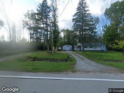
1319 State Highway M35 St Menominee, MI 49858
Estimated Value: $142,000 - $154,000
2
Beds
1
Bath
1,040
Sq Ft
$142/Sq Ft
Est. Value
About This Home
This home is located at 1319 State Highway M35 St, Menominee, MI 49858 and is currently estimated at $147,719, approximately $142 per square foot. 1319 State Highway M35 St is a home with nearby schools including Central Elementary School, Blesch Intermediate School, and Menominee Junior High School.
Ownership History
Date
Name
Owned For
Owner Type
Purchase Details
Closed on
Mar 5, 2021
Sold by
Daniel John F
Bought by
Miller Jason R
Current Estimated Value
Purchase Details
Closed on
Sep 12, 2019
Sold by
Justin Buechler
Bought by
John Daniel F
Purchase Details
Closed on
Oct 8, 2004
Sold by
Przewrocki Gregory
Bought by
Buechler Justin and Jennifer Breault
Purchase Details
Closed on
Oct 1, 2004
Purchase Details
Closed on
Jun 1, 1998
Sold by
Davidson Lori
Bought by
Przewrocki Gregory
Create a Home Valuation Report for This Property
The Home Valuation Report is an in-depth analysis detailing your home's value as well as a comparison with similar homes in the area
Home Values in the Area
Average Home Value in this Area
Purchase History
| Date | Buyer | Sale Price | Title Company |
|---|---|---|---|
| Miller Jason R | $87,500 | -- | |
| John Daniel F | $82,900 | -- | |
| Buechler Justin | $67,900 | -- | |
| -- | $67,900 | -- | |
| Przewrocki Gregory | $56,000 | -- |
Source: Public Records
Tax History Compared to Growth
Tax History
| Year | Tax Paid | Tax Assessment Tax Assessment Total Assessment is a certain percentage of the fair market value that is determined by local assessors to be the total taxable value of land and additions on the property. | Land | Improvement |
|---|---|---|---|---|
| 2024 | $1,065 | $51,300 | $3,300 | $48,000 |
| 2023 | $312 | $46,400 | $1,900 | $44,500 |
| 2022 | $312 | $46,400 | $1,900 | $44,500 |
| 2021 | $312 | $35,500 | $5,500 | $30,000 |
| 2020 | $312 | $38,100 | $0 | $0 |
| 2019 | -- | $36,700 | $0 | $0 |
| 2018 | -- | $37,900 | $37,900 | $0 |
| 2017 | -- | $35,100 | $35,100 | $0 |
| 2016 | -- | $35,200 | $0 | $0 |
| 2015 | -- | $35,200 | $0 | $0 |
| 2014 | -- | $34,700 | $34,700 | $0 |
| 2013 | $312 | $33,000 | $0 | $0 |
Source: Public Records
Map
Nearby Homes
- n1055 Michigan 35
- N6804 E State Highway M35
- TBD E State Highway M35
- 0 E State Highway M35
- 0 Sn3 Dr Unit 50297266
- 519 47th Ave
- 4103 Michigan Shores Dr
- 4017 N Shore Dr
- 901 39th Ave
- 3213 13th St
- 1704 32nd Ave
- 3012 16th St
- 1606 29th Ave
- 1600 26th Ave
- 0 11th St
- 2300 19th St
- 1100 18th Ave
- 1616 7th St
- 1905 16th St
- 714 14th Ave
- 1319 State Highway M35 St
- N1319 State Highway M35
- N1319 Michigan 35
- N1327 State Highway M35
- 1307 10th St
- W5312 Evergreen Road No 3
- W5312 Evergreen Rd
- W5324 Evergreen Road No 3
- N1335 State Highway M35
- N1353 State Highway M35
- N1318 State Highway M35
- W5352 Evergreen Rd
- W5352 Evergreen Road No 3
- N1302 State Highway M35
- 1384 State Highway M35 St
- N1271 State Highway M35
- N1271 State Highway M35
- N1389 State Highway M35
- N1257 State Highway M35
- N1384 M35