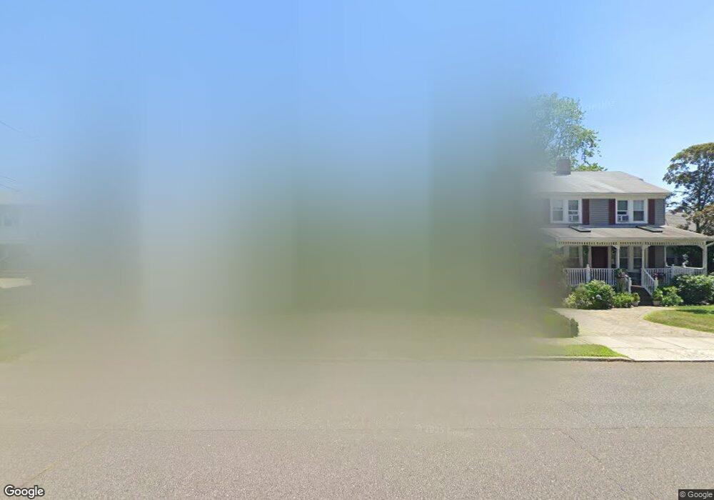
132 10th Ave Spring Lake, NJ 07762
Estimated Value: $1,009,000 - $1,778,000
4
Beds
4
Baths
2,532
Sq Ft
$544/Sq Ft
Est. Value
About This Home
This home is located at 132 10th Ave, Spring Lake, NJ 07762 and is currently estimated at $1,377,108, approximately $543 per square foot. 132 10th Ave is a home located in Monmouth County with nearby schools including Spring Lake Heights Elementary School, St. Catharine School, and The Brookside School.
Ownership History
Date
Name
Owned For
Owner Type
Purchase Details
Closed on
Nov 5, 2002
Sold by
Downey Thomas
Bought by
Impagliatelli Joseph and Impagliatelli Coleen
Current Estimated Value
Home Financials for this Owner
Home Financials are based on the most recent Mortgage that was taken out on this home.
Original Mortgage
$340,000
Outstanding Balance
$142,620
Interest Rate
6.04%
Estimated Equity
$1,234,488
Purchase Details
Closed on
May 15, 1995
Sold by
Reaves Matthew
Bought by
Downey Thomas and Peabody Sarah
Home Financials for this Owner
Home Financials are based on the most recent Mortgage that was taken out on this home.
Original Mortgage
$19,000
Interest Rate
8.2%
Create a Home Valuation Report for This Property
The Home Valuation Report is an in-depth analysis detailing your home's value as well as a comparison with similar homes in the area
Home Values in the Area
Average Home Value in this Area
Purchase History
| Date | Buyer | Sale Price | Title Company |
|---|---|---|---|
| Impagliatelli Joseph | $512,000 | -- | |
| Downey Thomas | $212,040 | -- |
Source: Public Records
Mortgage History
| Date | Status | Borrower | Loan Amount |
|---|---|---|---|
| Open | Impagliatelli Joseph | $340,000 | |
| Previous Owner | Downey Thomas | $19,000 |
Source: Public Records
Tax History
| Year | Tax Paid | Tax Assessment Tax Assessment Total Assessment is a certain percentage of the fair market value that is determined by local assessors to be the total taxable value of land and additions on the property. | Land | Improvement |
|---|---|---|---|---|
| 2025 | $9,980 | $960,600 | $631,100 | $329,500 |
| 2024 | $9,390 | $947,800 | $624,300 | $323,500 |
| 2023 | $9,390 | $838,400 | $522,500 | $315,900 |
| 2022 | $7,879 | $656,300 | $341,000 | $315,300 |
| 2021 | $7,879 | $583,600 | $297,000 | $286,600 |
| 2020 | $7,567 | $557,200 | $297,000 | $260,200 |
| 2019 | $7,543 | $549,800 | $297,000 | $252,800 |
| 2018 | $7,483 | $530,700 | $297,000 | $233,700 |
| 2017 | $7,178 | $527,800 | $297,000 | $230,800 |
| 2016 | $7,450 | $541,000 | $297,000 | $244,000 |
| 2015 | $7,190 | $523,700 | $286,000 | $237,700 |
| 2014 | $7,529 | $560,600 | $324,500 | $236,100 |
Source: Public Records
Map
Nearby Homes
- 909 Jersey Ave
- 574 Central Ave
- 607 Central Ave
- 2127 Locust Rd
- 570 Central Ave
- 604 Monmouth Ave
- 304 8th Ave
- 708 New York Blvd
- 510 Beacon Blvd
- 612 Brooklyn Blvd
- 27 Apple Dr
- 1304 W Magnolia Ave
- 513 Mercer Ave
- 2005 Nassau Dr
- 722 Boston Blvd
- 43 Old Squan Rd
- 16 Cherry Ct
- 2077 Benjamin Cir
- 208 Salem Ave
- 703 Sea Girt Ave
Your Personal Tour Guide
Ask me questions while you tour the home.