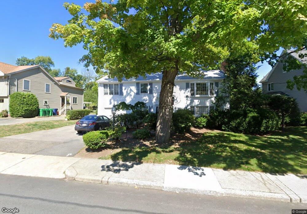
132 Adams Ave West Newton, MA 02465
West Newton NeighborhoodEstimated Value: $1,073,000 - $1,222,164
3
Beds
2
Baths
1,196
Sq Ft
$945/Sq Ft
Est. Value
About This Home
This home is located at 132 Adams Ave, West Newton, MA 02465 and is currently estimated at $1,130,791, approximately $945 per square foot. 132 Adams Ave is a home located in Middlesex County with nearby schools including Franklin Elementary School, F.A. Day Middle School, and Newton North High School.
Create a Home Valuation Report for This Property
The Home Valuation Report is an in-depth analysis detailing your home's value as well as a comparison with similar homes in the area
Home Values in the Area
Average Home Value in this Area
Tax History Compared to Growth
Tax History
| Year | Tax Paid | Tax Assessment Tax Assessment Total Assessment is a certain percentage of the fair market value that is determined by local assessors to be the total taxable value of land and additions on the property. | Land | Improvement |
|---|---|---|---|---|
| 2025 | $8,403 | $857,400 | $839,700 | $17,700 |
| 2024 | $8,124 | $832,400 | $815,200 | $17,200 |
| 2023 | $7,604 | $747,000 | $623,700 | $123,300 |
| 2022 | $7,277 | $691,700 | $577,500 | $114,200 |
| 2021 | $7,021 | $652,500 | $544,800 | $107,700 |
| 2020 | $6,812 | $652,500 | $544,800 | $107,700 |
| 2019 | $6,620 | $633,500 | $528,900 | $104,600 |
| 2018 | $6,334 | $585,400 | $480,000 | $105,400 |
| 2017 | $6,142 | $552,300 | $452,800 | $99,500 |
| 2016 | $5,874 | $516,200 | $423,200 | $93,000 |
| 2015 | $5,601 | $482,400 | $395,500 | $86,900 |
Source: Public Records
Map
Nearby Homes
- 56 Dearborn St
- 265-267 River St Unit 267
- 265-267 River St Unit 265
- 44 Westland Ave
- 24 Tolman St Unit A
- 334 River St
- 33 Lill Ave
- 25 Tolman St Unit 2
- 31-37 Washington Ave
- 287 Cherry St Unit 2
- 101-103 Lexington St
- 14 Cottage Place Unit 14
- 75 Cherry St
- 41 Kilburn Rd
- 90 Auburndale Ave
- 106 River St Unit 18
- 106 River St Unit 2
- 106 River St Unit 14
- 2 Elm St Unit 6
- 2 Elm St Unit 8