132 Kent Rd Macon, GA 31211
Estimated Value: $190,000 - $249,818
--
Bed
3
Baths
2,207
Sq Ft
$103/Sq Ft
Est. Value
About This Home
This home is located at 132 Kent Rd, Macon, GA 31211 and is currently estimated at $227,455, approximately $103 per square foot. 132 Kent Rd is a home located in Jones County with nearby schools including Mattie Wells Elementary School, Clifton Ridge Middle School, and Jones County High School.
Ownership History
Date
Name
Owned For
Owner Type
Purchase Details
Closed on
Mar 16, 2005
Sold by
Security Bank Of Jones Cou
Bought by
Wright Arthur Scott and Wright Laura L
Current Estimated Value
Home Financials for this Owner
Home Financials are based on the most recent Mortgage that was taken out on this home.
Original Mortgage
$145,422
Outstanding Balance
$73,530
Interest Rate
5.57%
Mortgage Type
New Conventional
Estimated Equity
$153,925
Create a Home Valuation Report for This Property
The Home Valuation Report is an in-depth analysis detailing your home's value as well as a comparison with similar homes in the area
Home Values in the Area
Average Home Value in this Area
Purchase History
| Date | Buyer | Sale Price | Title Company |
|---|---|---|---|
| Wright Arthur Scott | $105,000 | -- |
Source: Public Records
Mortgage History
| Date | Status | Borrower | Loan Amount |
|---|---|---|---|
| Open | Wright Arthur Scott | $145,422 |
Source: Public Records
Tax History Compared to Growth
Tax History
| Year | Tax Paid | Tax Assessment Tax Assessment Total Assessment is a certain percentage of the fair market value that is determined by local assessors to be the total taxable value of land and additions on the property. | Land | Improvement |
|---|---|---|---|---|
| 2023 | $2,298 | $67,680 | $9,920 | $57,760 |
| 2022 | $2,281 | $67,184 | $9,424 | $57,760 |
| 2021 | $2,283 | $67,184 | $9,424 | $57,760 |
| 2020 | $2,284 | $67,184 | $9,424 | $57,760 |
| 2019 | $2,284 | $67,184 | $9,424 | $57,760 |
| 2018 | $2,284 | $67,184 | $9,424 | $57,760 |
| 2017 | $2,284 | $67,184 | $9,424 | $57,760 |
| 2016 | $2,284 | $67,184 | $9,424 | $57,760 |
| 2015 | $2,157 | $67,184 | $9,424 | $57,760 |
| 2014 | $1,992 | $67,184 | $9,424 | $57,760 |
Source: Public Records
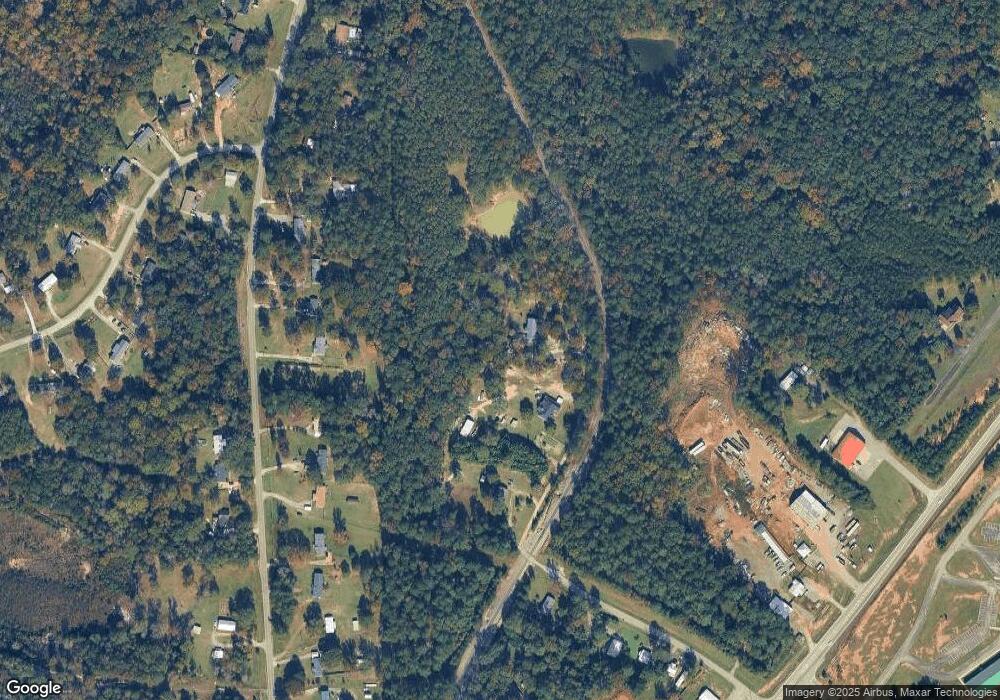
Map
Nearby Homes
- 612 Kimberly Ct
- 151 Amie Ct
- 135 Parker Dr
- 318 Graystone Pointe Dr
- 111 Mandy Ct
- 967 Haley St
- 170 Graystone Cir
- 218 Rebel Dr
- 224 Rebel Dr
- 1707 Hannah Ct
- 144 Country World Dr
- 134 Country World Dr
- 148 Country World Dr
- 157 Country World Dr
- 1734 Hannah Ct
- 1669 Griswoldville Rd
- 202 Chapel Hill Cir
- 894 Chapman Dr
- 123 Chapel Hill Cir
- 130 Kent Rd
- 134 Kent Rd
- 134 Kent Rd
- 655 Chapman Rd
- 643 Chapman Rd
- 477 Ga Highway 49
- 663 Chapman Rd
- 119 Kent Rd
- 637 Chapman Rd
- 671 Chapman Rd
- 633 Chapman Rd
- 451 Ga Highway 49
- 457 Ga Highway 49
- 679 Chapman Rd
- 670 Chapman Rd
- 685 Chapman Rd
- 689 Chapman Rd
- 680 Chapman Rd
- 919 Ga Highway 49
- 919 Ga Highway 49