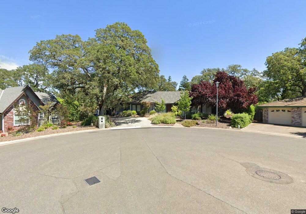
132 Llewellyn Ct Folsom, CA 95630
Briggs Ranch NeighborhoodEstimated Value: $1,325,000 - $1,511,000
3
Beds
3
Baths
5,165
Sq Ft
$276/Sq Ft
Est. Value
About This Home
This home is located at 132 Llewellyn Ct, Folsom, CA 95630 and is currently estimated at $1,427,918, approximately $276 per square foot. 132 Llewellyn Ct is a home located in Sacramento County with nearby schools including Blanche Sprentz Elementary School, Sutter Middle School, and St. John Notre Dame.
Ownership History
Date
Name
Owned For
Owner Type
Purchase Details
Closed on
Aug 15, 2005
Sold by
Surridge Robert and Surridge Angeline
Bought by
Rojas David and Rojas Stephanie
Current Estimated Value
Home Financials for this Owner
Home Financials are based on the most recent Mortgage that was taken out on this home.
Original Mortgage
$639,700
Outstanding Balance
$335,179
Interest Rate
5.62%
Mortgage Type
Purchase Money Mortgage
Estimated Equity
$1,092,739
Purchase Details
Closed on
May 28, 1998
Sold by
Evelyn M White
Bought by
Surridge Robert and Surridge Angeline
Home Financials for this Owner
Home Financials are based on the most recent Mortgage that was taken out on this home.
Original Mortgage
$279,200
Interest Rate
7.1%
Create a Home Valuation Report for This Property
The Home Valuation Report is an in-depth analysis detailing your home's value as well as a comparison with similar homes in the area
Home Values in the Area
Average Home Value in this Area
Purchase History
| Date | Buyer | Sale Price | Title Company |
|---|---|---|---|
| Rojas David | $940,000 | Chicago Title Co | |
| Surridge Robert | $349,000 | Fidelity National Title Co | |
| White Evelyn M | -- | Fidelity National Title Co |
Source: Public Records
Mortgage History
| Date | Status | Borrower | Loan Amount |
|---|---|---|---|
| Open | Rojas David | $639,700 | |
| Previous Owner | White Evelyn M | $279,200 |
Source: Public Records
Tax History
| Year | Tax Paid | Tax Assessment Tax Assessment Total Assessment is a certain percentage of the fair market value that is determined by local assessors to be the total taxable value of land and additions on the property. | Land | Improvement |
|---|---|---|---|---|
| 2025 | $13,645 | $1,284,436 | $213,177 | $1,071,259 |
| 2024 | $13,645 | $1,259,252 | $208,998 | $1,050,254 |
| 2023 | $13,401 | $1,234,561 | $204,900 | $1,029,661 |
| 2022 | $13,204 | $1,210,355 | $200,883 | $1,009,472 |
| 2021 | $11,532 | $1,051,189 | $252,284 | $798,905 |
| 2020 | $10,174 | $930,257 | $223,261 | $706,996 |
| 2019 | $9,858 | $898,800 | $215,712 | $683,088 |
| 2018 | $9,335 | $856,000 | $205,440 | $650,560 |
| 2017 | $8,294 | $883,233 | $146,594 | $736,639 |
| 2016 | $9,123 | $825,452 | $137,004 | $688,448 |
| 2015 | $8,604 | $793,705 | $131,735 | $661,970 |
| 2014 | $8,166 | $778,142 | $129,152 | $648,990 |
Source: Public Records
Map
Nearby Homes
- 430 Flower Dr
- 103 Econome Ct
- 113 Rebecca Way
- 609 Willow Creek Dr
- 103 Rebecca Way
- 147 Rebecca Way
- 141 Sierra Woods Cir
- 129 Cerrito Dr
- 136 Penaranda Dr
- 155 Bittercreek Dr
- 124 Fargo Way
- 127 McKiernan Dr
- 1229 School St
- 110 Fargo Way
- 104 Whelan Ct
- 141 McKiernan Dr
- 29 Dean Way
- 141 Winterstein Dr Unit 2
- 149 Winterstein Dr
- 1171 School St
Your Personal Tour Guide
Ask me questions while you tour the home.