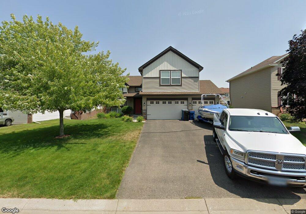
132 Pottok Ln Shakopee, MN 55379
Estimated Value: $457,210 - $473,000
4
Beds
2
Baths
1,530
Sq Ft
$302/Sq Ft
Est. Value
About This Home
This home is located at 132 Pottok Ln, Shakopee, MN 55379 and is currently estimated at $462,303, approximately $302 per square foot. 132 Pottok Ln is a home with nearby schools including Jackson Elementary School, East Middle School, and Shakopee Senior High School.
Ownership History
Date
Name
Owned For
Owner Type
Purchase Details
Closed on
Sep 13, 2012
Sold by
Key Land Homes
Bought by
Knudson Ronda K
Current Estimated Value
Home Financials for this Owner
Home Financials are based on the most recent Mortgage that was taken out on this home.
Original Mortgage
$251,146
Outstanding Balance
$173,701
Interest Rate
3.56%
Mortgage Type
New Conventional
Estimated Equity
$288,602
Purchase Details
Closed on
Mar 23, 2012
Sold by
Shamrock Development Inc
Bought by
Key Land Homes
Home Financials for this Owner
Home Financials are based on the most recent Mortgage that was taken out on this home.
Original Mortgage
$293,610
Interest Rate
3.88%
Mortgage Type
Seller Take Back
Purchase Details
Closed on
Sep 11, 2008
Sold by
M W Johnson Construction Inc
Bought by
Shamrock Development Inc
Purchase Details
Closed on
Jun 2, 2006
Sold by
Tollefson Development Inc
Bought by
M W Johnson Construction Inc
Create a Home Valuation Report for This Property
The Home Valuation Report is an in-depth analysis detailing your home's value as well as a comparison with similar homes in the area
Home Values in the Area
Average Home Value in this Area
Purchase History
| Date | Buyer | Sale Price | Title Company |
|---|---|---|---|
| Knudson Ronda K | $279,054 | Suburban Title Inc | |
| Key Land Homes | $326,230 | None Available | |
| Shamrock Development Inc | $3,000,000 | -- | |
| M W Johnson Construction Inc | $13,127,210 | -- |
Source: Public Records
Mortgage History
| Date | Status | Borrower | Loan Amount |
|---|---|---|---|
| Open | Knudson Ronda K | $251,146 | |
| Previous Owner | Key Land Homes | $293,610 |
Source: Public Records
Tax History Compared to Growth
Tax History
| Year | Tax Paid | Tax Assessment Tax Assessment Total Assessment is a certain percentage of the fair market value that is determined by local assessors to be the total taxable value of land and additions on the property. | Land | Improvement |
|---|---|---|---|---|
| 2025 | $4,764 | $442,100 | $146,100 | $296,000 |
| 2024 | $4,634 | $456,200 | $158,800 | $297,400 |
| 2023 | $4,780 | $432,500 | $149,800 | $282,700 |
| 2022 | $4,572 | $438,000 | $149,800 | $288,200 |
| 2021 | $4,068 | $362,300 | $115,600 | $246,700 |
| 2020 | $4,462 | $352,600 | $104,600 | $248,000 |
| 2019 | $3,758 | $340,100 | $94,400 | $245,700 |
| 2018 | $4,194 | $0 | $0 | $0 |
| 2016 | $3,924 | $0 | $0 | $0 |
| 2014 | -- | $0 | $0 | $0 |
Source: Public Records
Map
Nearby Homes
- 125 Pottok Ln
- 1619 Nordland St
- 1646 Liberty Cir
- 1574 Liberty Cir Unit 2406
- 1625 Liberty Cir
- 1534 Liberty Cir
- 1660 Liberty St
- 1507 Liberty Cir
- 291 Appleblossom Ln
- 627 Providence Dr
- 1573 Creekside Ln
- 826 Princeton Ave
- 820 Princeton Ave Unit 4505
- 508 Hackney Ave
- 849 Providence Dr
- 1688 Countryside Dr
- 348 Columbine Ln
- 793 Lupine Ct
- 970 Westchester Ave
- 696 Jutland Ave