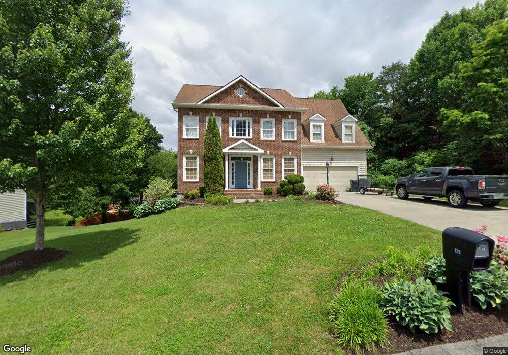
132 Queensgate Unit 1 Bristol, TN 37620
Estimated Value: $524,560 - $618,000
5
Beds
3
Baths
3,338
Sq Ft
$172/Sq Ft
Est. Value
About This Home
This home is located at 132 Queensgate Unit 1, Bristol, TN 37620 and is currently estimated at $575,140, approximately $172 per square foot. 132 Queensgate Unit 1 is a home located in Sullivan County with nearby schools including Holston View Elementary School, Vance Middle School, and Tennessee High School.
Ownership History
Date
Name
Owned For
Owner Type
Purchase Details
Closed on
Apr 23, 2012
Sold by
Rice Melvin Darrell
Bought by
Martin Kenneth W and Martin Melissa R
Current Estimated Value
Home Financials for this Owner
Home Financials are based on the most recent Mortgage that was taken out on this home.
Original Mortgage
$285,000
Outstanding Balance
$197,486
Interest Rate
4.13%
Mortgage Type
VA
Estimated Equity
$377,654
Purchase Details
Closed on
Oct 15, 2010
Sold by
Nationwide Ser Sub
Bought by
Rice Melvin Darrell
Purchase Details
Closed on
Mar 25, 2010
Sold by
Cathell Denise Mark
Bought by
Nationwide Ser Sub
Purchase Details
Closed on
May 19, 2006
Sold by
Denise Cathell
Bought by
Denise Cathell
Purchase Details
Closed on
Feb 13, 2006
Sold by
Homefront Inc
Bought by
Denise Bromwell
Create a Home Valuation Report for This Property
The Home Valuation Report is an in-depth analysis detailing your home's value as well as a comparison with similar homes in the area
Purchase History
| Date | Buyer | Sale Price | Title Company |
|---|---|---|---|
| Martin Kenneth W | $289,000 | -- | |
| Rice Melvin Darrell | $304,100 | -- | |
| Nationwide Ser Sub | $311,173 | -- | |
| Denise Cathell | -- | -- | |
| Denise Bromwell | $315,000 | -- |
Source: Public Records
Mortgage History
| Date | Status | Borrower | Loan Amount |
|---|---|---|---|
| Open | Martin Kenneth W | $285,000 |
Source: Public Records
Tax History
| Year | Tax Paid | Tax Assessment Tax Assessment Total Assessment is a certain percentage of the fair market value that is determined by local assessors to be the total taxable value of land and additions on the property. | Land | Improvement |
|---|---|---|---|---|
| 2025 | -- | $146,750 | $8,500 | $138,250 |
| 2024 | -- | $78,350 | $5,425 | $72,925 |
| 2023 | $3,441 | $78,350 | $5,425 | $72,925 |
| 2022 | $3,441 | $78,350 | $5,425 | $72,925 |
| 2021 | $3,441 | $78,350 | $5,425 | $72,925 |
| 2020 | $3,450 | $78,350 | $5,425 | $72,925 |
| 2019 | $3,450 | $72,900 | $5,425 | $67,475 |
| 2018 | $3,435 | $72,900 | $5,425 | $67,475 |
| 2017 | $3,435 | $72,900 | $5,425 | $67,475 |
| 2016 | $3,489 | $72,300 | $5,425 | $66,875 |
| 2014 | $3,294 | $72,317 | $0 | $0 |
Source: Public Records
Map
Nearby Homes
- 121 Queensgate
- 5820 Old Jonesboro Rd
- 234 Bradford Ln
- 215 Brighton Place
- 224 Brighton Place
- 170 Brighton Place
- 207 Monroe Dr
- 154 Brighton Place
- 150 Brighton Place
- 100 Canterbury Place
- 304 Monroe Dr
- 310 Monroe Dr
- 340 Monroe Dr
- 348 Monroe Dr
- 334 Monroe Dr
- 230 Monroe Dr
- 296 Monroe Dr
- 354 Monroe Dr
- 380 Monroe Dr
- 319 Monroe Dr
- 132 Queensgate
- 136 Queensgate
- 133 Stonehenge Dr
- 129 Stonehenge Dr
- 133 Queensgate
- 129 Queensgate
- LOT 66 Queensgate
- lot 65 Queensgate
- 0 Queensgate
- Lot 19 Queensgate
- Lot 64 Queensgate
- Tbd Queensgate
- 65 Queensgate
- 137 Queensgate
- LOT 42 Stonehenge Dr
- LOT 37 Stonehenge Dr
- 0 Stonehenge Dr
- 125 Queensgate
- Lot 58 Chatham Rd
- 125 Stonehenge Dr
Your Personal Tour Guide
Ask me questions while you tour the home.