132 Sagamore Rd Gilford, NH 03249
Estimated Value: $709,000 - $1,083,000
3
Beds
2
Baths
1,814
Sq Ft
$450/Sq Ft
Est. Value
About This Home
This home is located at 132 Sagamore Rd, Gilford, NH 03249 and is currently estimated at $815,865, approximately $449 per square foot. 132 Sagamore Rd is a home located in Belknap County with nearby schools including Gilford Elementary School, Gilford Middle School, and Gilford High School.
Ownership History
Date
Name
Owned For
Owner Type
Purchase Details
Closed on
Oct 14, 2009
Sold by
Parent Rene V and Parent Helen F
Bought by
Zimmer Henry
Current Estimated Value
Home Financials for this Owner
Home Financials are based on the most recent Mortgage that was taken out on this home.
Original Mortgage
$162,500
Outstanding Balance
$106,434
Interest Rate
5.14%
Mortgage Type
Purchase Money Mortgage
Estimated Equity
$709,431
Purchase Details
Closed on
Sep 17, 2001
Sold by
Robert Ilg O and Ilg Josephine A
Bought by
Parent Rene V and Parent Helen F
Create a Home Valuation Report for This Property
The Home Valuation Report is an in-depth analysis detailing your home's value as well as a comparison with similar homes in the area
Home Values in the Area
Average Home Value in this Area
Purchase History
| Date | Buyer | Sale Price | Title Company |
|---|---|---|---|
| Zimmer Henry | $362,500 | -- | |
| Parent Rene V | $300,000 | -- |
Source: Public Records
Mortgage History
| Date | Status | Borrower | Loan Amount |
|---|---|---|---|
| Open | Parent Rene V | $162,500 |
Source: Public Records
Tax History Compared to Growth
Tax History
| Year | Tax Paid | Tax Assessment Tax Assessment Total Assessment is a certain percentage of the fair market value that is determined by local assessors to be the total taxable value of land and additions on the property. | Land | Improvement |
|---|---|---|---|---|
| 2024 | $6,413 | $570,080 | $198,580 | $371,500 |
| 2023 | $5,872 | $570,080 | $198,580 | $371,500 |
| 2022 | $4,903 | $400,270 | $112,370 | $287,900 |
| 2021 | $4,915 | $400,270 | $112,370 | $287,900 |
| 2020 | $5,089 | $338,620 | $99,620 | $239,000 |
| 2019 | $5,006 | $315,630 | $91,630 | $224,000 |
| 2018 | $4,858 | $285,080 | $91,880 | $193,200 |
| 2017 | $4,920 | $285,080 | $91,880 | $193,200 |
| 2016 | $5,077 | $282,820 | $101,020 | $181,800 |
| 2015 | $4,898 | $272,540 | $95,140 | $177,400 |
| 2011 | $4,882 | $263,170 | $104,570 | $158,600 |
Source: Public Records
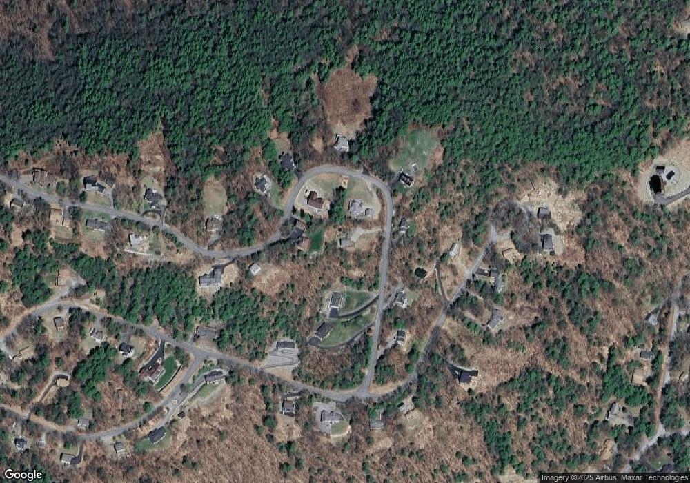
Map
Nearby Homes
- 28 Barefoot Place
- 97 Tate Rd
- 124 Tate Rd
- 197 Scenic Dr Unit 3
- 9 Chestnut Dr
- 4 Cheshire Cir
- 252 Chestnut Dr
- 235 Chestnut Dr
- 12 Balsam Dr
- 18 Balsam Dr
- 115 Chestnut Dr
- 134 Chestnut Dr
- 235 Cumberland Rd
- 55 White Birch Dr
- 51 White Birch Dr Unit 253-370-000
- 1 Woodbridge Lsp Rd
- 14 Curtis Rd
- 20 E Marina Rd
- 90 Briarcliff Rd
- 102 Curtis Rd
- 128 Sagamore Rd
- 144 Sagamore Rd
- 137 Sagamore Rd
- 170 Sagamore Rd
- 160 Sagamore Rd
- 120 Sagamore Rd
- 121 Sagamore Rd
- 143 Sagamore Rd
- 22 Barefoot Place
- 153 Sagamore Rd
- 167 Sagamore Rd
- 163 Sagamore Rd
- 176 Sagamore Rd
- 115 Sagamore Rd
- 45 Barefoot Place
- 175 Sagamore Rd
- 32 Barefoot Place Unit 32
- 17 Barefoot Place
- 181 Sagamore Rd
- 21 Barefoot Place