132 Summit Dr Marquette, IA 52158
Estimated Value: $334,000 - $425,000
3
Beds
3
Baths
2,179
Sq Ft
$175/Sq Ft
Est. Value
About This Home
This home is located at 132 Summit Dr, Marquette, IA 52158 and is currently estimated at $382,214, approximately $175 per square foot. 132 Summit Dr is a home with nearby schools including MFL Marmac Elementary School, MFL Marmac Middle School, and MFL Marmac High School.
Ownership History
Date
Name
Owned For
Owner Type
Purchase Details
Closed on
May 12, 2021
Sold by
Hoover Myrene and Myrene R Hoover Trust
Bought by
Hoover Ethan D
Current Estimated Value
Purchase Details
Closed on
Aug 1, 2016
Sold by
Hoover Myrene R
Bought by
Hoover Myrene R and Myrene R Hoover Trust
Create a Home Valuation Report for This Property
The Home Valuation Report is an in-depth analysis detailing your home's value as well as a comparison with similar homes in the area
Home Values in the Area
Average Home Value in this Area
Purchase History
| Date | Buyer | Sale Price | Title Company |
|---|---|---|---|
| Hoover Ethan D | -- | None Available | |
| Hoover Ethan D | -- | None Available | |
| Hoover Myrene R | -- | None Available | |
| Hoover Myrene R | -- | None Available |
Source: Public Records
Tax History Compared to Growth
Tax History
| Year | Tax Paid | Tax Assessment Tax Assessment Total Assessment is a certain percentage of the fair market value that is determined by local assessors to be the total taxable value of land and additions on the property. | Land | Improvement |
|---|---|---|---|---|
| 2025 | $4,536 | $409,666 | $60,665 | $349,001 |
| 2024 | $4,328 | $338,210 | $40,000 | $298,210 |
| 2023 | $4,822 | $338,210 | $40,000 | $298,210 |
| 2022 | $4,656 | $300,029 | $43,304 | $256,725 |
| 2021 | $4,768 | $300,029 | $43,304 | $256,725 |
| 2020 | $4,768 | $292,653 | $43,304 | $249,349 |
| 2019 | $4,746 | $292,653 | $43,304 | $249,349 |
| 2018 | $4,746 | $286,369 | $43,304 | $243,065 |
| 2017 | $4,690 | $286,369 | $43,304 | $243,065 |
| 2015 | $4,286 | $254,535 | $13,880 | $240,655 |
| 2014 | $4,218 | $254,535 | $13,880 | $240,655 |
Source: Public Records
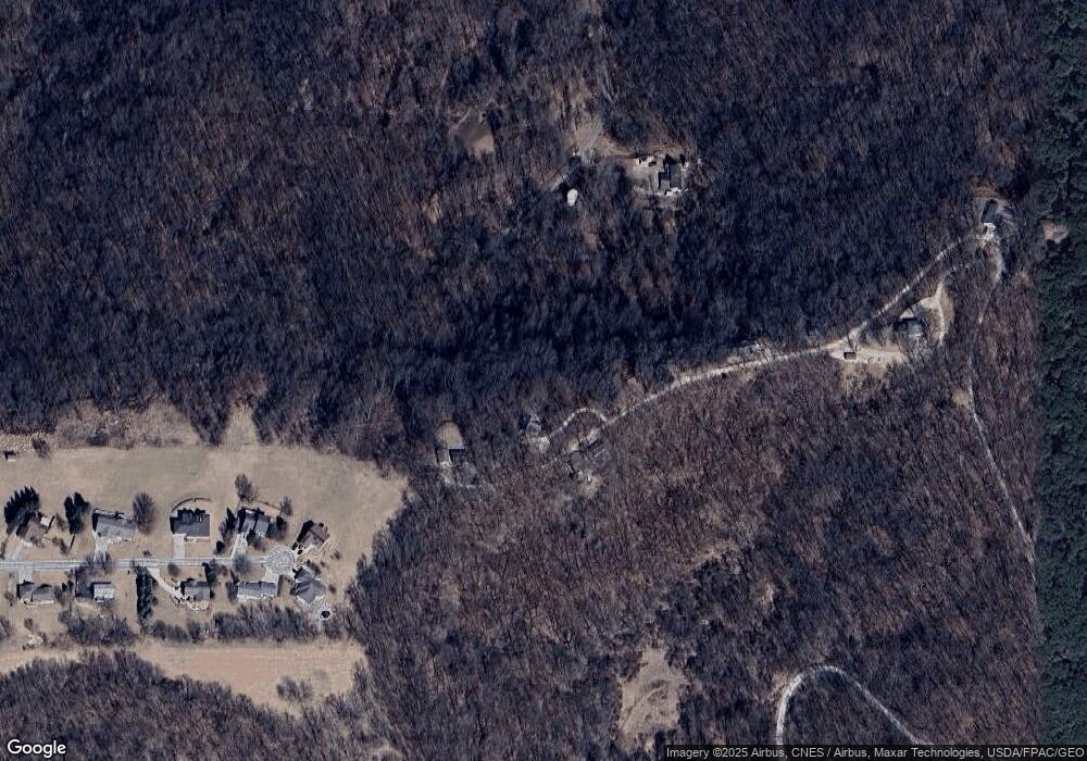
Map
Nearby Homes
- 1019 Thornton Ln
- 212 Eagle Dr
- 104 Summit Dr
- 0 Center Ave
- 222 Granger St
- 164 McGregor Heights Rd
- 103 Moody Ln
- 00 Eagle Dr Unit Lot 71
- 136 Main St Unit 205
- 136 Main St Unit 301
- 136 Main St Unit 302
- 136 Main St Unit 303
- 218 Main St
- 212 Main St
- 229 Main St
- 1002 Tanglewood Dr
- 1000 Tanglewood Dr
- 518 Main St
- 619 Main St
- 00 High Pointe Loop Unit Lot 119