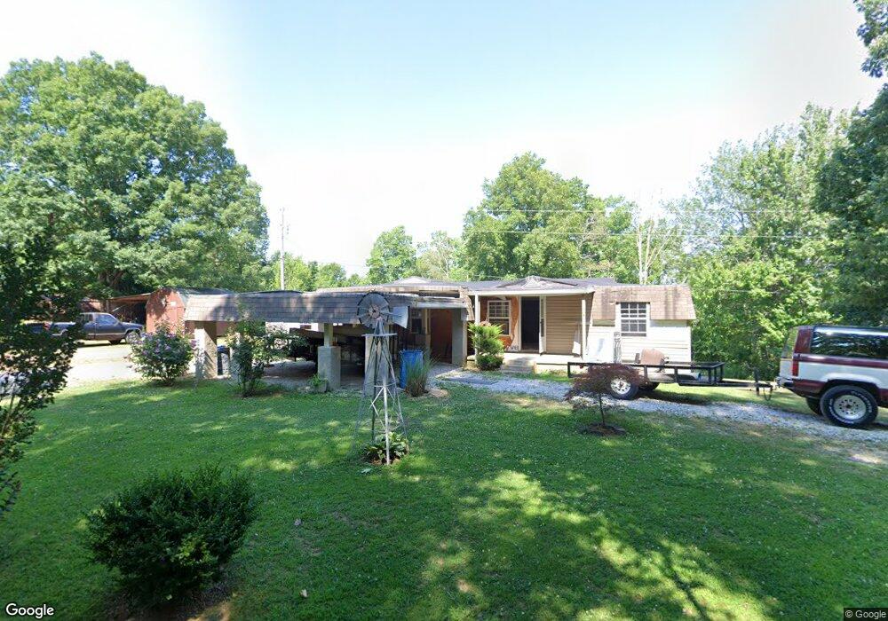
132 Willow Ln Oneida, TN 37841
Estimated Value: $229,568 - $311,000
Studio
--
Bath
1,680
Sq Ft
$154/Sq Ft
Est. Value
About This Home
This home is located at 132 Willow Ln, Oneida, TN 37841 and is currently estimated at $258,392, approximately $153 per square foot. 132 Willow Ln is a home with nearby schools including Oneida Elementary School, Oneida Middle School, and Oneida High School.
Ownership History
Date
Name
Owned For
Owner Type
Purchase Details
Closed on
May 15, 2011
Sold by
Williamson Nancy B
Bought by
Kerr Kevin
Current Estimated Value
Home Financials for this Owner
Home Financials are based on the most recent Mortgage that was taken out on this home.
Original Mortgage
$57,000
Outstanding Balance
$39,330
Interest Rate
4.88%
Mortgage Type
Cash
Estimated Equity
$219,062
Purchase Details
Closed on
May 3, 2002
Bought by
Williamson Nancy B
Purchase Details
Closed on
Dec 28, 1979
Create a Home Valuation Report for This Property
The Home Valuation Report is an in-depth analysis detailing your home's value as well as a comparison with similar homes in the area
Home Values in the Area
Average Home Value in this Area
Purchase History
| Date | Buyer | Sale Price | Title Company |
|---|---|---|---|
| Kerr Kevin | $97,000 | -- | |
| Williamson Nancy B | $55,000 | -- | |
| -- | -- | -- |
Source: Public Records
Mortgage History
| Date | Status | Borrower | Loan Amount |
|---|---|---|---|
| Open | Kerr Kevin | $57,000 |
Source: Public Records
Tax History
| Year | Tax Paid | Tax Assessment Tax Assessment Total Assessment is a certain percentage of the fair market value that is determined by local assessors to be the total taxable value of land and additions on the property. | Land | Improvement |
|---|---|---|---|---|
| 2025 | $1,519 | $48,625 | $7,525 | $41,100 |
| 2024 | $1,519 | $48,625 | $7,525 | $41,100 |
| 2023 | $1,562 | $48,625 | $7,525 | $41,100 |
| 2022 | $1,345 | $30,225 | $6,525 | $23,700 |
| 2021 | $1,146 | $30,225 | $6,525 | $23,700 |
| 2020 | $529 | $30,225 | $6,525 | $23,700 |
| 2019 | $714 | $17,925 | $6,525 | $11,400 |
| 2018 | $714 | $17,925 | $6,525 | $11,400 |
| 2017 | $763 | $19,150 | $6,525 | $12,625 |
| 2016 | $745 | $19,150 | $6,525 | $12,625 |
| 2015 | $785 | $20,800 | $6,525 | $14,275 |
| 2014 | $785 | $20,800 | $6,525 | $14,275 |
Source: Public Records
Map
Nearby Homes
- 120 Wright St
- 103 Shelton Ln
- 126 Pullman Ln
- 420 Southern Ln
- 1600 Paint Rock Rd
- 226 Keeton Ln
- 35 Buffalo Rd
- 121 Sexton Ln
- 0 Marlow St Unit 1321095
- 605 S Lake Dr Unit A
- 605 S Lake Dr
- 108 W 1st Ave
- 5821 Buffalo Rd
- 201 Grand Pappy Ln
- 18741 Alberta St
- 125 Walnut Ln
- 342 Vine Ave
- 942 W 3rd Ave
- 216 Lafayette St
- 458 Slaven Ln
- 1927 Terry Rd
- 0 Terry Rd
- 1725 Terry Rd
- 1684 Terry Rd
- 0 Terry Road Rd
- 0 Terry Road Rd
- 2096 Terry Rd
- 1528 Terry Rd
- 2079 Terry Rd
- 460 Echo Point Rd
- 277 Echo Point Rd
- 2176 Terry Rd
- 150 Echo Point Rd
- 136 Echo Point Rd
- 2163 Terry Rd
- 116 Echo Point Rd
- 2089 Terry Rd
- 373 Denzil Ln
- 180 Harmony Ln
- 0 Echo Point Rd
Your Personal Tour Guide
Ask me questions while you tour the home.