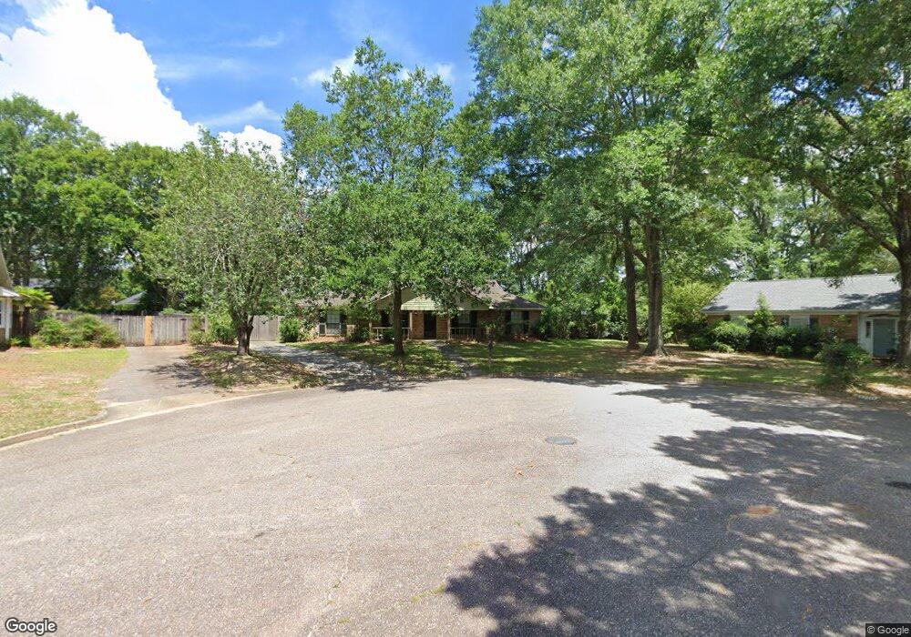
1320 Brookneal Cir Mobile, AL 36695
Sheldon NeighborhoodEstimated Value: $252,000 - $288,000
3
Beds
2
Baths
2,160
Sq Ft
$125/Sq Ft
Est. Value
About This Home
This home is located at 1320 Brookneal Cir, Mobile, AL 36695 and is currently estimated at $270,584, approximately $125 per square foot. 1320 Brookneal Cir is a home located in Mobile County with nearby schools including ER Dickson Elementary School, Burns Middle School, and WP Davidson High School.
Ownership History
Date
Name
Owned For
Owner Type
Purchase Details
Closed on
Jan 20, 2012
Sold by
Campbell Hilda V
Bought by
Rahman Dewan and Tapper Monica
Current Estimated Value
Home Financials for this Owner
Home Financials are based on the most recent Mortgage that was taken out on this home.
Original Mortgage
$143,273
Interest Rate
3.87%
Mortgage Type
FHA
Create a Home Valuation Report for This Property
The Home Valuation Report is an in-depth analysis detailing your home's value as well as a comparison with similar homes in the area
Home Values in the Area
Average Home Value in this Area
Purchase History
| Date | Buyer | Sale Price | Title Company |
|---|---|---|---|
| Rahman Dewan | $147,000 | The Guarantee Title Company |
Source: Public Records
Mortgage History
| Date | Status | Borrower | Loan Amount |
|---|---|---|---|
| Closed | Rahman Dewan | $143,273 |
Source: Public Records
Tax History Compared to Growth
Tax History
| Year | Tax Paid | Tax Assessment Tax Assessment Total Assessment is a certain percentage of the fair market value that is determined by local assessors to be the total taxable value of land and additions on the property. | Land | Improvement |
|---|---|---|---|---|
| 2024 | $1,015 | $22,090 | $3,500 | $18,590 |
| 2023 | $1,015 | $21,680 | $3,500 | $18,180 |
| 2022 | $877 | $19,450 | $3,500 | $15,950 |
| 2021 | $837 | $18,640 | $3,500 | $15,140 |
| 2020 | $843 | $18,750 | $3,500 | $15,250 |
| 2019 | $836 | $18,620 | $3,500 | $15,120 |
| 2018 | $802 | $17,920 | $0 | $0 |
| 2017 | $700 | $15,820 | $0 | $0 |
| 2016 | $740 | $16,640 | $0 | $0 |
| 2013 | $695 | $16,420 | $0 | $0 |
Source: Public Records
Map
Nearby Homes
- 1265 Hanover Ct
- 7361 Carson Rd S
- 1340 Wellsley Ct
- 1361 Dellwyn Ct
- 1337 Carson Rd W
- 1130 Jonathan Ct
- 0 Manchester Place Unit 7528070
- 1000 Choctaw Bluff Rd
- 1542 Stone Hedge Dr W
- 7260 Pine Station Rd S
- 1735 Ashmoor Dr W
- 7691 Sweetgum Ct
- 7377 Willow Bridge Dr S
- 7381 Willow Bridge Dr S
- 6939 Johnston Ln
- 7183 Pine Barren Ct
- 726 Willow Springs Dr
- 6645 Somerby Ln
- 6701 Somerby Ln
- 1532 Ridgeland Rd W
- 1310 Brookneal Cir
- 1340 Brookneal Cir
- 1280 Suffolk Ct
- 1331 Revere Ct
- 1275 Suffolk Ct
- 1341 Revere Ct
- 1321 Revere Ct
- 1331 Brookneal Cir
- 1360 Brookneal Cir
- 1341 Brookneal Cir
- 7385 Carson Rd S
- 1270 Suffolk Ct
- 1320 Revere Ct
- 1265 Suffolk Ct
- 7342 Carson Rd S
- 1270 Westchester Ct
- 7380 Carson Rd S
- 1320 Blue Ridge Cir
- 1365 Revere Ct Unit DOG
- 1336 Revere Ct