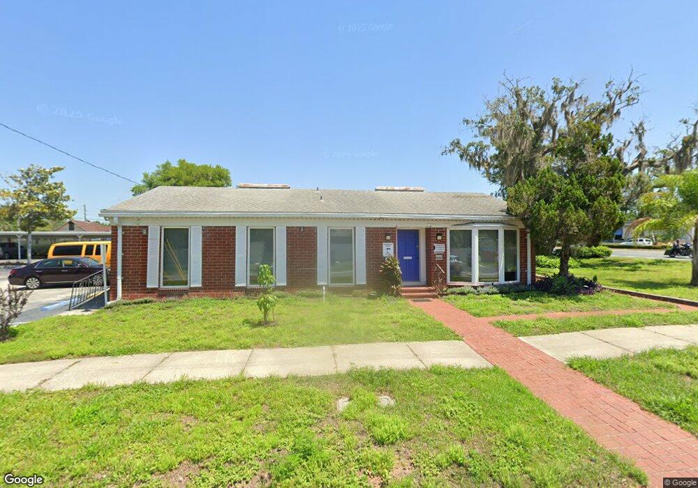
1320 S Bay St Eustis, FL 32726
Estimated Value: $203,162
Studio
2
Baths
1,384
Sq Ft
$147/Sq Ft
Est. Value
About This Home
This home is located at 1320 S Bay St, Eustis, FL 32726 and is currently estimated at $203,162, approximately $146 per square foot. 1320 S Bay St is a home located in Lake County with nearby schools including Eustis Heights Elementary School, Eustis Middle School, and Eustis High School.
Ownership History
Date
Name
Owned For
Owner Type
Purchase Details
Closed on
Dec 30, 2014
Sold by
Winker Wade G and Bptr Llc
Bought by
Fltr Llc and Usb Land Trust
Current Estimated Value
Purchase Details
Closed on
Dec 17, 2014
Sold by
Winker Wade G
Bought by
Ftr Llc
Purchase Details
Closed on
Oct 11, 2013
Sold by
Mdtr Llc
Bought by
Bptr Llc and 1320 S Bay Land Trust
Purchase Details
Closed on
Sep 23, 2013
Sold by
Mahendru Arvind and Estate Of John Thomas Watson &
Bought by
Mdtr Llc
Create a Home Valuation Report for This Property
The Home Valuation Report is an in-depth analysis detailing your home's value as well as a comparison with similar homes in the area
Home Values in the Area
Average Home Value in this Area
Purchase History
| Date | Buyer | Sale Price | Title Company |
|---|---|---|---|
| Fltr Llc | -- | Attorney | |
| Ftr Llc | -- | Attorney | |
| Bptr Llc | -- | Attorney | |
| Mdtr Llc | -- | Attorney |
Source: Public Records
Tax History
| Year | Tax Paid | Tax Assessment Tax Assessment Total Assessment is a certain percentage of the fair market value that is determined by local assessors to be the total taxable value of land and additions on the property. | Land | Improvement |
|---|---|---|---|---|
| 2026 | $3,912 | $219,244 | $115,949 | $103,295 |
| 2025 | $1,854 | $219,286 | $115,949 | $103,337 |
| 2024 | $1,854 | $222,408 | $115,949 | $106,459 |
| 2023 | $3,536 | $203,109 | $105,415 | $97,694 |
| 2022 | $3,103 | $156,270 | $95,832 | $60,438 |
| 2021 | $1,854 | $91,212 | $0 | $0 |
| 2020 | $2,593 | $121,476 | $0 | $0 |
| 2019 | $2,504 | $115,627 | $0 | $0 |
| 2018 | $2,380 | $111,337 | $0 | $0 |
| 2017 | $2,388 | $111,337 | $0 | $0 |
| 2016 | $2,420 | $111,337 | $0 | $0 |
| 2015 | $2,464 | $110,677 | $0 | $0 |
| 2014 | $2,480 | $110,677 | $0 | $0 |
Source: Public Records
Map
Nearby Homes
- 1215 Morin St
- 301 E Atwater Ave
- 203 E Lakeview Ave
- 1021 Titcomb St
- 1111 South St
- 1033 S Grove St
- 105 W Golf Links Ave
- 322 Palm Ave
- 102 W Saint Louis Ave
- 860 S Grove St
- 0 W Herrick Ave Unit MFRG5104849
- 1122 Virginia Ct
- 206 Osceola Ave
- 312 Osceola Ave
- 504 Ambassador Ave
- 1300 Saint Andrews Blvd
- 834 Donnelly St
- 0 S Mary St
- 740 Summit St
- 118 W Chesley Ave
- 1314 S Bay St Unit 1316
- 1314 S Bay St
- 1400 S Bay St
- 1316 S Bay St Unit 1
- 1310 S Bay St
- 24 W Atwater Ave
- 1413 Morin St
- 1407 Morin St
- 1321 S Bay St
- 1301 S Bay St
- 15 W Mills Ave
- 1220 S Bay St
- 17 W Mills Ave
- 1402 Morin St
- 26 E Mills Ave Unit B
- 26 E Mills Ave Unit A
- 1410 Morin St
- 122 W Doane Ave
- 103 W Mills Ave Unit B
- 103 W Mills Ave Unit A
Your Personal Tour Guide
Ask me questions while you tour the home.