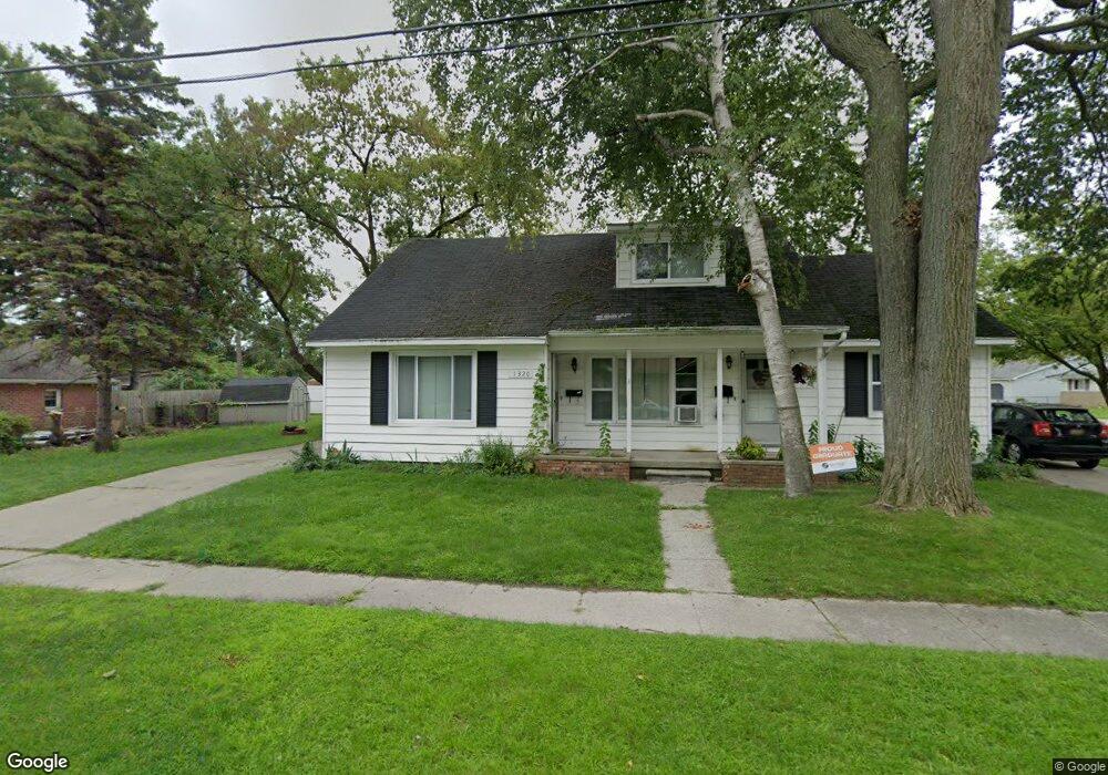
1320 Thomson Ave Unit 1322 Port Huron, MI 48060
Estimated Value: $154,125 - $200,000
--
Bed
1
Bath
2,242
Sq Ft
$79/Sq Ft
Est. Value
About This Home
This home is located at 1320 Thomson Ave Unit 1322, Port Huron, MI 48060 and is currently estimated at $177,531, approximately $79 per square foot. 1320 Thomson Ave Unit 1322 is a home located in St. Clair County with nearby schools including Michigamme Elementary School, Central Middle School, and Port Huron High School.
Ownership History
Date
Name
Owned For
Owner Type
Purchase Details
Closed on
Jun 15, 2007
Sold by
Haufschild Brian R and Haufschild Pamela J
Bought by
Haufschild Enterprises Llc
Current Estimated Value
Purchase Details
Closed on
Feb 20, 2007
Sold by
Coastal Equity Partners Llc
Bought by
Haufschild Enterprises Llc
Purchase Details
Closed on
Dec 26, 2006
Sold by
Citizens First Mortgage Llc
Bought by
Coastal Equity Partners Llc
Purchase Details
Closed on
Mar 15, 2006
Sold by
Haufschild Enterprises Llc
Bought by
Haufschild Brian R and Haufschild Pamela J
Purchase Details
Closed on
Jan 14, 2005
Sold by
Komph Robert and Komph Debbie
Bought by
Citizens First Mortgage Llc
Create a Home Valuation Report for This Property
The Home Valuation Report is an in-depth analysis detailing your home's value as well as a comparison with similar homes in the area
Home Values in the Area
Average Home Value in this Area
Purchase History
| Date | Buyer | Sale Price | Title Company |
|---|---|---|---|
| Haufschild Enterprises Llc | -- | None Available | |
| Haufschild Enterprises Llc | $80,000 | Cfs Title Insurance Agency | |
| Coastal Equity Partners Llc | $106,757 | None Available | |
| Haufschild Brian R | -- | None Available | |
| Citizens First Mortgage Llc | $119,374 | None Available |
Source: Public Records
Tax History Compared to Growth
Tax History
| Year | Tax Paid | Tax Assessment Tax Assessment Total Assessment is a certain percentage of the fair market value that is determined by local assessors to be the total taxable value of land and additions on the property. | Land | Improvement |
|---|---|---|---|---|
| 2025 | $2,484 | $73,700 | $0 | $0 |
| 2024 | $2,189 | $70,600 | $0 | $0 |
| 2023 | $2,073 | $62,800 | $0 | $0 |
| 2022 | $2,090 | $54,200 | $0 | $0 |
| 2021 | $1,995 | $49,100 | $0 | $0 |
| 2020 | $2,003 | $46,700 | $46,700 | $0 |
| 2019 | $1,967 | $33,800 | $0 | $0 |
| 2018 | $1,923 | $33,800 | $0 | $0 |
| 2017 | $1,765 | $30,600 | $0 | $0 |
| 2016 | $1,572 | $30,600 | $0 | $0 |
| 2015 | $1,543 | $30,700 | $30,700 | $0 |
| 2014 | $1,543 | $29,400 | $29,400 | $0 |
| 2013 | -- | $28,200 | $0 | $0 |
Source: Public Records
Map
Nearby Homes
- 1403 Catherine McAuley Dr
- 2718 Electric Ave
- 2710 Electric Ave
- 2815 Military St
- 1414 Beard St
- 2724 Military St
- 2704 Military St
- 2411 10th St
- 2977 Military St
- 823 Beard St
- 2444 Military St
- 2430 Military St Unit 2434
- 3136 Military St
- 913 Tunnel St
- 9999 Cleveland Ave
- 730 Jenkinson St
- 1112 Minnie St
- 1319 Minnie St
- 1127 Minnie St
- 1322 Division St