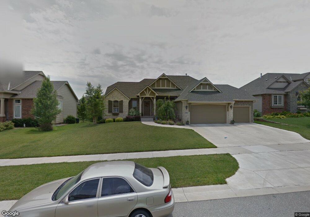
13201 E Reeds Cove St Wichita, KS 67230
Estimated Value: $516,626 - $532,000
4
Beds
3
Baths
3,208
Sq Ft
$163/Sq Ft
Est. Value
About This Home
This home is located at 13201 E Reeds Cove St, Wichita, KS 67230 and is currently estimated at $524,313, approximately $163 per square foot. 13201 E Reeds Cove St is a home located in Sedgwick County with nearby schools including Wheatland Elementary School, Andover Middle School, and Andover High School.
Ownership History
Date
Name
Owned For
Owner Type
Purchase Details
Closed on
Sep 19, 2008
Sold by
Ritchie Building Company Inc
Bought by
Shaw Timothy J and Shaw Sheila M
Current Estimated Value
Home Financials for this Owner
Home Financials are based on the most recent Mortgage that was taken out on this home.
Original Mortgage
$210,000
Outstanding Balance
$140,213
Interest Rate
6.6%
Mortgage Type
New Conventional
Estimated Equity
$384,100
Create a Home Valuation Report for This Property
The Home Valuation Report is an in-depth analysis detailing your home's value as well as a comparison with similar homes in the area
Home Values in the Area
Average Home Value in this Area
Purchase History
| Date | Buyer | Sale Price | Title Company |
|---|---|---|---|
| Shaw Timothy J | -- | None Available |
Source: Public Records
Mortgage History
| Date | Status | Borrower | Loan Amount |
|---|---|---|---|
| Open | Shaw Timothy J | $210,000 |
Source: Public Records
Tax History Compared to Growth
Tax History
| Year | Tax Paid | Tax Assessment Tax Assessment Total Assessment is a certain percentage of the fair market value that is determined by local assessors to be the total taxable value of land and additions on the property. | Land | Improvement |
|---|---|---|---|---|
| 2025 | $6,458 | $55,200 | $10,534 | $44,666 |
| 2023 | $6,458 | $51,589 | $8,832 | $42,757 |
| 2022 | $5,961 | $46,150 | $8,338 | $37,812 |
| 2021 | $6,235 | $43,126 | $4,543 | $38,583 |
| 2020 | $6,636 | $43,126 | $4,543 | $38,583 |
| 2019 | $6,879 | $40,688 | $4,543 | $36,145 |
| 2018 | $7,062 | $41,527 | $4,025 | $37,502 |
| 2017 | $6,801 | $0 | $0 | $0 |
| 2016 | $6,466 | $0 | $0 | $0 |
| 2015 | $6,483 | $0 | $0 | $0 |
| 2014 | $6,282 | $0 | $0 | $0 |
Source: Public Records
Map
Nearby Homes
- 1918 N Peckham St
- 13121 E Tallowood Dr
- 13906 E Rockhill St
- 2306 N Lindsay Cir
- 1934 N Castle Rock Ct
- 1522 N Krug Cir
- 1701 N Split Rail St
- 14306 E Churchill Cir
- 2445 N 127th Ct E
- 1501 N Castle Rock St
- 2425 N Woodridge Ct
- 2507 N Peckham St
- 2330 N Castle Rock Ct
- 12740 E Bradford Cir
- 13902 E Ayesbury St
- 13720 E Saint Andrews Place
- 2103 N 159th Ct E
- 14101 E Castle Rock St
- 1315 N White Tail Ct
- 1501 N Sport of Kings Ct
- 13207 E Reeds Cove St
- 13107 E Reeds Cove St
- 13210 E Bridlewood Ct
- 13101 E Reeds Cove St
- 13211 E Reeds Cove St
- 13214 E Bridlewood Ct
- 13206 E Bridlewood Ct
- 13204 E Reeds Cove St
- 13210 E Reeds Cove St
- 13218 E Bridlewood St
- 13110 E Reeds Cove St
- 13216 E Reeds Cove St
- 13217 E Reeds Cove St
- 13214 E Bridlewood St
- 13104 E Reeds Cove St
- 13222 E Bridlewood St
- 13025 E Reeds Cove Ct
- 13029 E Reeds Cove Ct
- 13202 E Bridlewood Ct
- 13222 E Reeds Cove St