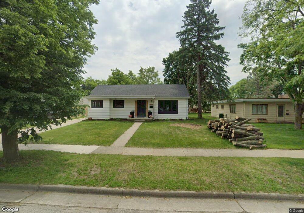
1321 Hillside Dr Waukesha, WI 53186
Estimated Value: $346,000 - $364,000
4
Beds
3
Baths
2,118
Sq Ft
$168/Sq Ft
Est. Value
About This Home
This home is located at 1321 Hillside Dr, Waukesha, WI 53186 and is currently estimated at $356,224, approximately $168 per square foot. 1321 Hillside Dr is a home located in Waukesha County with nearby schools including Hadfield Elementary School, Horning Middle School, and South High School.
Ownership History
Date
Name
Owned For
Owner Type
Purchase Details
Closed on
Aug 21, 2020
Sold by
Fromm Mark A
Bought by
Brookes Enders Travis
Current Estimated Value
Purchase Details
Closed on
Aug 2, 2002
Sold by
Korber Carol Jean and Dietrich Carol Jean
Bought by
Fromm Mark A
Home Financials for this Owner
Home Financials are based on the most recent Mortgage that was taken out on this home.
Original Mortgage
$145,600
Interest Rate
6.64%
Create a Home Valuation Report for This Property
The Home Valuation Report is an in-depth analysis detailing your home's value as well as a comparison with similar homes in the area
Home Values in the Area
Average Home Value in this Area
Purchase History
| Date | Buyer | Sale Price | Title Company |
|---|---|---|---|
| Brookes Enders Travis | $162,000 | None Available | |
| Fromm Mark A | $182,000 | -- |
Source: Public Records
Mortgage History
| Date | Status | Borrower | Loan Amount |
|---|---|---|---|
| Previous Owner | Fromm Mark A | $145,600 | |
| Closed | Fromm Mark A | $27,300 |
Source: Public Records
Tax History Compared to Growth
Tax History
| Year | Tax Paid | Tax Assessment Tax Assessment Total Assessment is a certain percentage of the fair market value that is determined by local assessors to be the total taxable value of land and additions on the property. | Land | Improvement |
|---|---|---|---|---|
| 2024 | $4,237 | $287,500 | $48,800 | $238,700 |
| 2023 | $4,114 | $287,500 | $48,800 | $238,700 |
| 2022 | $3,656 | $193,000 | $54,400 | $138,600 |
| 2021 | $3,736 | $193,000 | $54,400 | $138,600 |
| 2020 | $3,619 | $193,000 | $54,400 | $138,600 |
| 2019 | $3,501 | $193,000 | $54,400 | $138,600 |
| 2018 | $3,310 | $178,700 | $51,400 | $127,300 |
| 2017 | $3,737 | $178,700 | $51,400 | $127,300 |
| 2016 | $3,291 | $167,000 | $51,400 | $115,600 |
| 2015 | $3,274 | $167,000 | $51,400 | $115,600 |
| 2014 | $3,345 | $163,700 | $51,400 | $112,300 |
| 2013 | $3,345 | $163,700 | $51,400 | $112,300 |
Source: Public Records
Map
Nearby Homes
- 1343 Hillside Dr
- S21W23079 Hillside Dr
- 403 Midland Ave
- W230S2425 Morningside Dr
- 125 Tenny Ave
- 1422 E Racine Ave
- 1037 Windsor Dr
- 1103 Arcadian Ave
- 400 Sheffield Rd Unit 5
- 1021 Arcadian Ave
- 1535 E Racine Ave
- 930 Harding Ave
- 715 Cavalier Dr
- 953 Genesee St
- S17W22650 Lincoln Ave
- 1219 National Ave
- 309 Stonebrook Dr
- 1021 Aurora St
- 917 E Roberta Ave
- 512 E Main St
- 1315 Hillside Dr
- 1331 Hillside Dr
- 1335 Hillside Dr
- 205 N Porter Ave
- 1322 Hillside Dr
- 1328 Hillside Dr
- 1318 Hillside Dr
- 1339 Hillside Dr
- 1314 Hillside Dr
- 1332 Hillside Dr
- 223 N Porter Ave
- 201 N Porter Ave
- 1336 Hillside Dr
- 1310 Hillside Dr
- 214 N Porter Ave
- 1324 Harris Dr
- 206 N Porter Ave
- 1330 Harris Dr
- 1318 Harris Dr
- 224 N Porter Ave