13215 Green Earth Rd Prairie Grove, AR 72753
Estimated Value: $359,083 - $512,000
--
Bed
2
Baths
2,429
Sq Ft
$177/Sq Ft
Est. Value
About This Home
This home is located at 13215 Green Earth Rd, Prairie Grove, AR 72753 and is currently estimated at $429,521, approximately $176 per square foot. 13215 Green Earth Rd is a home located in Washington County with nearby schools including Prairie Grove Elementary School, Prairie Grove Middle School, and Prairie Grove Junior High School.
Ownership History
Date
Name
Owned For
Owner Type
Purchase Details
Closed on
Apr 25, 1994
Bought by
Kuhrt, Dale R & Shirley Trust
Current Estimated Value
Purchase Details
Closed on
Nov 3, 1986
Bought by
Kuhrt Dale R and Kuhrt Shirley M
Purchase Details
Closed on
Oct 24, 1976
Bought by
Hawley Ira E and Hawley Donna
Create a Home Valuation Report for This Property
The Home Valuation Report is an in-depth analysis detailing your home's value as well as a comparison with similar homes in the area
Home Values in the Area
Average Home Value in this Area
Purchase History
| Date | Buyer | Sale Price | Title Company |
|---|---|---|---|
| Kuhrt, Dale R & Shirley Trust | -- | -- | |
| Kuhrt Dale R | $73,000 | -- | |
| Hawley Ira E | -- | -- |
Source: Public Records
Tax History Compared to Growth
Tax History
| Year | Tax Paid | Tax Assessment Tax Assessment Total Assessment is a certain percentage of the fair market value that is determined by local assessors to be the total taxable value of land and additions on the property. | Land | Improvement |
|---|---|---|---|---|
| 2025 | $1,269 | $58,240 | $12,440 | $45,800 |
| 2024 | $1,311 | $58,240 | $12,440 | $45,800 |
| 2023 | $1,358 | $58,240 | $12,440 | $45,800 |
| 2022 | $1,374 | $38,560 | $6,950 | $31,610 |
| 2021 | $1,300 | $38,560 | $6,950 | $31,610 |
| 2020 | $1,226 | $38,560 | $6,950 | $31,610 |
| 2019 | $1,165 | $30,160 | $5,720 | $24,440 |
| 2018 | $1,190 | $30,160 | $5,720 | $24,440 |
| 2017 | $1,125 | $30,160 | $5,720 | $24,440 |
| 2016 | $1,175 | $30,160 | $5,720 | $24,440 |
| 2015 | $1,175 | $30,160 | $5,720 | $24,440 |
| 2014 | $1,121 | $29,060 | $6,580 | $22,480 |
Source: Public Records
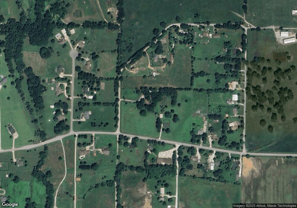
Map
Nearby Homes
- 1681 Cavalry Ln
- 1461 General Parson Dr
- 1321 General Marmaduke Dr
- 1421 Colonel McNeil Dr
- 1380 Colonel Hawthorne Dr
- 1280 General Parson Dr
- 611 Sundowner Ranch Ave
- 1360 Colonel Bass Ln
- 650 Marcella St
- 631 Marcella St
- 511 Captain Stockton St
- 12292 Butler Rd
- 16543 U S Highway 62
- 101 S Eagle Mountain St
- 150 N Eagle Mountain St
- 951 E Buchanan St
- 123 S Eagle Mountain St
- 113 S Eagle Mountain St
- 816 Spurgeon Ln
- Bellvue Plan at Selah Meadows
- 13130 Illinois Chapel Rd
- 0 Illinois Chapel Rd Unit 466305
- 0 Illinois Chapel Rd Unit 431595
- 0 Illinois Chapel Rd Unit 463683
- 2701 County Road 20
- 0 Illinois Chapel Rd Unit 285329
- None County Rd 20
- 0 Illinois Chapel Rd Unit 368931
- 0 Illinois Chapel Rd Unit 440145
- 0 Illinois Chapel Rd Unit 506242
- 0 Illinois Chapel Rd Unit 518476
- 0 Illinois Chapel Rd Unit 698981
- 0 Illinois Chapel Rd Unit 698973
- 0 Illinois Chapel Rd Unit 694176
- 0 Green Earth Rd
- 13123 Illinois Chapel Rd
- 13139 Green Earth Rd
- 13157 Illinois Chapel Rd
- 13131 Green Earth Rd
- 13064 Illinois Chapel Rd