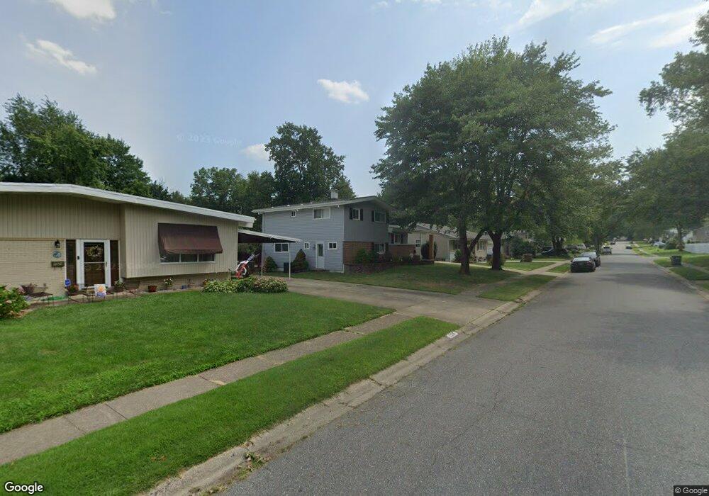
1322 Tulane Rd Wilmington, DE 19803
Carrcroft NeighborhoodEstimated Value: $362,000 - $448,000
3
Beds
3
Baths
960
Sq Ft
$411/Sq Ft
Est. Value
About This Home
This home is located at 1322 Tulane Rd, Wilmington, DE 19803 and is currently estimated at $394,862, approximately $411 per square foot. 1322 Tulane Rd is a home located in New Castle County with nearby schools including Carrcroft Elementary School, Springer Middle School, and Mount Pleasant High School.
Ownership History
Date
Name
Owned For
Owner Type
Purchase Details
Closed on
Jul 20, 2007
Sold by
Wojciechowski Stanley R and Wojciechowski Norma L
Bought by
Ferrazzano Anthony and Ferrazzano Melissa
Current Estimated Value
Home Financials for this Owner
Home Financials are based on the most recent Mortgage that was taken out on this home.
Original Mortgage
$215,200
Outstanding Balance
$136,115
Interest Rate
6.73%
Mortgage Type
Purchase Money Mortgage
Estimated Equity
$258,747
Purchase Details
Closed on
Sep 24, 2001
Sold by
J & S Gerson Family Ltd Partnership
Bought by
Wojciechowski Gary R and Wojciechowski Stanley R
Home Financials for this Owner
Home Financials are based on the most recent Mortgage that was taken out on this home.
Original Mortgage
$104,139
Interest Rate
6.89%
Mortgage Type
FHA
Create a Home Valuation Report for This Property
The Home Valuation Report is an in-depth analysis detailing your home's value as well as a comparison with similar homes in the area
Home Values in the Area
Average Home Value in this Area
Purchase History
| Date | Buyer | Sale Price | Title Company |
|---|---|---|---|
| Ferrazzano Anthony | $269,000 | None Available | |
| Wojciechowski Gary R | $105,000 | -- |
Source: Public Records
Mortgage History
| Date | Status | Borrower | Loan Amount |
|---|---|---|---|
| Open | Ferrazzano Anthony | $215,200 | |
| Previous Owner | Wojciechowski Gary R | $104,139 |
Source: Public Records
Tax History Compared to Growth
Tax History
| Year | Tax Paid | Tax Assessment Tax Assessment Total Assessment is a certain percentage of the fair market value that is determined by local assessors to be the total taxable value of land and additions on the property. | Land | Improvement |
|---|---|---|---|---|
| 2024 | $2,146 | $56,400 | $14,600 | $41,800 |
| 2023 | $1,962 | $56,400 | $14,600 | $41,800 |
| 2022 | $1,995 | $56,400 | $14,600 | $41,800 |
| 2021 | $1,995 | $56,400 | $14,600 | $41,800 |
| 2020 | $1,995 | $56,400 | $14,600 | $41,800 |
| 2019 | $2,507 | $56,400 | $14,600 | $41,800 |
| 2018 | $1,907 | $56,400 | $14,600 | $41,800 |
| 2017 | $1,877 | $56,400 | $14,600 | $41,800 |
| 2016 | $1,876 | $56,400 | $14,600 | $41,800 |
| 2015 | $1,726 | $56,400 | $14,600 | $41,800 |
| 2014 | $1,725 | $56,400 | $14,600 | $41,800 |
Source: Public Records
Map
Nearby Homes
- 1400 Carson Rd
- 1425 Bucknell Rd
- 29 N Cliffe Dr
- 1607 Silverside Rd
- 1224 Grinnell Rd
- 1900 Beechwood Dr
- 1810 Garfield Ave
- 1904 Garfield Ave
- 502 Ivydale Rd
- 1218 Winstead Rd
- 133 Marcella Rd
- 409 Rowland Park Blvd
- 302 Baynard Blvd
- 814 Naudain Ave
- 707 Parkside Blvd
- 200 Churchill Dr
- 2205 Lincoln Ave
- 1300 Hillside Blvd
- 11 Woodsway Rd
- 13 Newark Union Public Rd