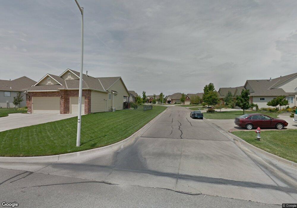
13228 E Tallowood Ct Wichita, KS 67230
Estimated Value: $316,000 - $569,000
5
Beds
3
Baths
3,177
Sq Ft
$151/Sq Ft
Est. Value
About This Home
This home is located at 13228 E Tallowood Ct, Wichita, KS 67230 and is currently estimated at $478,863, approximately $150 per square foot. 13228 E Tallowood Ct is a home located in Sedgwick County with nearby schools including Robert M. Martin Elementary School, Andover Middle School, and Andover High School.
Ownership History
Date
Name
Owned For
Owner Type
Purchase Details
Closed on
Jun 15, 2005
Sold by
Swenning Todd A and Swenning Nelissa Grisett
Bought by
Masters Dominic F and Masters Joann
Current Estimated Value
Home Financials for this Owner
Home Financials are based on the most recent Mortgage that was taken out on this home.
Original Mortgage
$303,600
Outstanding Balance
$158,497
Interest Rate
5.76%
Mortgage Type
New Conventional
Estimated Equity
$320,366
Create a Home Valuation Report for This Property
The Home Valuation Report is an in-depth analysis detailing your home's value as well as a comparison with similar homes in the area
Home Values in the Area
Average Home Value in this Area
Purchase History
| Date | Buyer | Sale Price | Title Company |
|---|---|---|---|
| Masters Dominic F | -- | Orourke Title Co |
Source: Public Records
Mortgage History
| Date | Status | Borrower | Loan Amount |
|---|---|---|---|
| Open | Masters Dominic F | $303,600 |
Source: Public Records
Tax History Compared to Growth
Tax History
| Year | Tax Paid | Tax Assessment Tax Assessment Total Assessment is a certain percentage of the fair market value that is determined by local assessors to be the total taxable value of land and additions on the property. | Land | Improvement |
|---|---|---|---|---|
| 2025 | $6,414 | $53,809 | $13,409 | $40,400 |
| 2023 | $6,414 | $51,245 | $9,741 | $41,504 |
| 2022 | $5,832 | $45,172 | $9,200 | $35,972 |
| 2021 | $5,524 | $42,217 | $5,405 | $36,812 |
| 2020 | $5,351 | $40,986 | $5,405 | $35,581 |
| 2019 | $5,345 | $40,986 | $5,405 | $35,581 |
| 2018 | $5,867 | $39,032 | $6,774 | $32,258 |
| 2017 | $5,900 | $0 | $0 | $0 |
| 2016 | $5,452 | $0 | $0 | $0 |
| 2015 | $5,468 | $0 | $0 | $0 |
| 2014 | $5,293 | $0 | $0 | $0 |
Source: Public Records
Map
Nearby Homes
- 13121 E Tallowood Dr
- 1918 N Peckham St
- 13906 E Rockhill St
- 12740 E Bradford Cir
- 1501 N Castle Rock St
- 1934 N Castle Rock Ct
- 1315 N White Tail Ct
- 13720 E Saint Andrews Place
- 1701 N Split Rail St
- 12610 E Meadow Ct
- 2306 N Lindsay Cir
- 14101 E Castle Rock St
- 1162 N Woodridge Dr
- 14306 E Churchill Cir
- 2103 N 159th Ct E
- 1501 N Sport of Kings Ct
- 14215 E Wentworth Ct
- 14223 E Wentworth Ct
- 2425 N Woodridge Ct
- 1236 N Bracken St
- 13232 E Tallowood Ct
- 13224 E Tallowood Ct
- 13236 E Tallowood Ct
- 13220 E Tallowood Ct
- 13110 E Tallowood Dr
- 13114 E Tallowood Dr
- 13240 E Tallowood Ct
- 13216 E Tallowood Ct
- 1726 N Rocky Creek Rd
- 13204 E Tallowood Dr
- 13117 E Bridlewood Ct
- 13208 E Tallowood Dr
- 13113 E Bridlewood Ct
- 13244 E Tallowood Ct
- 13217 E Bridlewood Ct
- 1718 N Rocky Creek Rd
- 13212 E Tallowood Dr
- 13109 E Tallowood Dr
- 13115 E Tallowood Dr
- 13248 E Tallowood Ct