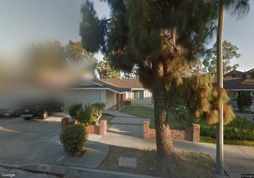
13234 Droxford St Cerritos, CA 90703
Estimated Value: $1,014,726 - $1,090,000
3
Beds
2
Baths
1,510
Sq Ft
$700/Sq Ft
Est. Value
About This Home
This home is located at 13234 Droxford St, Cerritos, CA 90703 and is currently estimated at $1,056,932, approximately $699 per square foot. 13234 Droxford St is a home located in Los Angeles County with nearby schools including Frank C. Leal Elementary School, Tetzlaff (Martin B.) Middle School, and Cerritos High School.
Ownership History
Date
Name
Owned For
Owner Type
Purchase Details
Closed on
Mar 2, 2016
Sold by
Wang Amy and Wang Calvin Hou Kai
Bought by
Time Center Properties Llc
Current Estimated Value
Purchase Details
Closed on
Oct 30, 2014
Sold by
Wang Amy and Wang Calvin Hou Kai
Bought by
Time Center Properties Llc
Purchase Details
Closed on
Apr 11, 2014
Sold by
Wang Connie Hou Ning
Bought by
Chao Tzu Wang Chen
Create a Home Valuation Report for This Property
The Home Valuation Report is an in-depth analysis detailing your home's value as well as a comparison with similar homes in the area
Home Values in the Area
Average Home Value in this Area
Purchase History
| Date | Buyer | Sale Price | Title Company |
|---|---|---|---|
| Time Center Properties Llc | -- | None Available | |
| Wang Calvin Hou Kai | -- | None Available | |
| Wang Amy | -- | None Available | |
| Time Center Properties Llc | -- | None Available | |
| Chao Tzu Wang Chen | -- | None Available |
Source: Public Records
Tax History Compared to Growth
Tax History
| Year | Tax Paid | Tax Assessment Tax Assessment Total Assessment is a certain percentage of the fair market value that is determined by local assessors to be the total taxable value of land and additions on the property. | Land | Improvement |
|---|---|---|---|---|
| 2025 | $4,158 | $325,399 | $147,386 | $178,013 |
| 2024 | $4,158 | $319,020 | $144,497 | $174,523 |
| 2023 | $4,029 | $312,765 | $141,664 | $171,101 |
| 2022 | $3,968 | $306,634 | $138,887 | $167,747 |
| 2021 | $3,874 | $300,622 | $136,164 | $164,458 |
| 2019 | $7,551 | $624,884 | $280,120 | $344,764 |
| 2018 | $6,998 | $612,632 | $274,628 | $338,004 |
| 2016 | $6,727 | $588,845 | $263,965 | $324,880 |
| 2015 | $6,642 | $270,723 | $122,618 | $148,105 |
| 2014 | $3,230 | $265,421 | $120,217 | $145,204 |
Source: Public Records
Map
Nearby Homes
- 19118 Martha Ave
- 19008 Jeffrey Ave
- 13044 Hedda Ln
- 18517 Betty Way
- 13210 Sutton St
- 18006 Point Conception Place
- 7152 Caprice Cir
- 5412 Bransford Dr
- 12711 Castleford Ln
- 19335 Derbyshire Ln
- 12967 Moorshire Dr
- 13010 Artesia Blvd
- 7862 Squaw Valley Way
- 5568 Ozawa Cir
- 5072 Alder Ln
- 5686 Panama Dr
- 12567 Semora St
- 12360 Hedda Dr
- 12361 Caravel Place
- 13370 Holly Oak Cir
- 13228 Droxford St
- 13238 Droxford St
- 13242 Droxford St
- 18808 Pinewood Cir
- 18802 Pinewood Cir
- 13248 Droxford St
- 13233 Droxford St
- 13239 Droxford St
- 13227 Droxford St
- 18812 Pinewood Cir
- 13223 Droxford St
- 13252 Droxford St
- 13217 Droxford St
- 13258 Droxford St
- 13253 Droxford St
- 13213 Droxford St
- 13232 Andy St
- 13238 Andy St
- 13226 Andy St
- 18815 Pinewood Cir