Estimated Value: $998,000 - $1,076,000
3
Beds
2
Baths
1,334
Sq Ft
$781/Sq Ft
Est. Value
About This Home
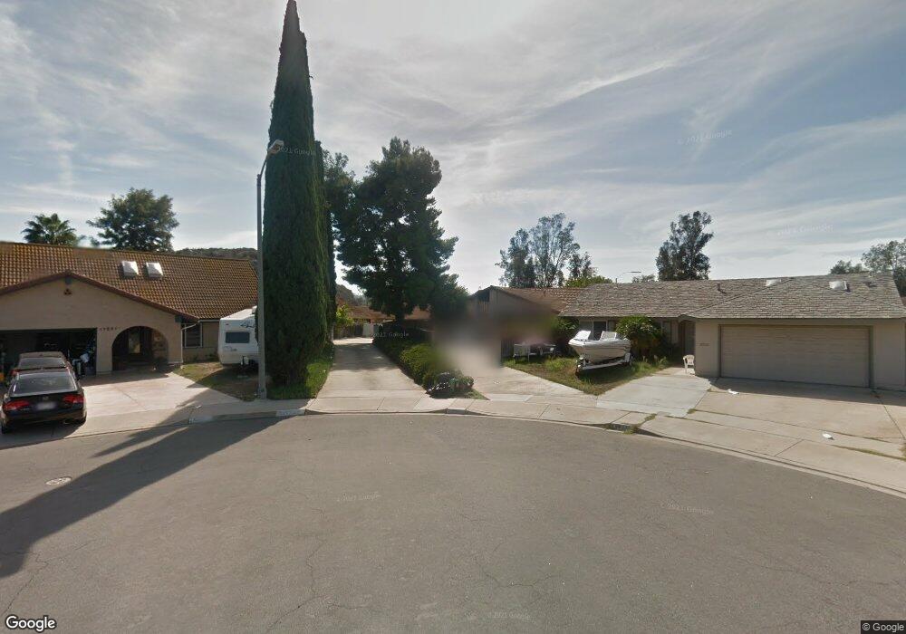
This home is located at 13242 Powers Ct, Poway, CA 92064 and is currently estimated at $1,041,375, approximately $780 per square foot. 13242 Powers Ct is a home located in San Diego County with nearby schools including Pomerado Elementary, Meadowbrook Middle, and Poway High.
Ownership History
Date
Name
Owned For
Owner Type
Purchase Details
Closed on
Sep 19, 2014
Sold by
Manis Richard Mark
Bought by
Fickentsher Timothy G and Fickentsher Yvonne M
Current Estimated Value
Home Financials for this Owner
Home Financials are based on the most recent Mortgage that was taken out on this home.
Original Mortgage
$560,803
Interest Rate
4.01%
Mortgage Type
VA
Purchase Details
Closed on
Jun 29, 1987
Bought by
Manis Richard M Hitomi
Purchase Details
Closed on
Dec 26, 1984
Purchase Details
Closed on
Sep 7, 1984
Create a Home Valuation Report for This Property
The Home Valuation Report is an in-depth analysis detailing your home's value as well as a comparison with similar homes in the area
Home Values in the Area
Average Home Value in this Area
Purchase History
| Date | Buyer | Sale Price | Title Company |
|---|---|---|---|
| Fickentsher Timothy G | $549,000 | First American Title | |
| Manis Richard Marx | -- | Accommodation | |
| Manis Richard M Hitomi | $115,000 | -- | |
| -- | $99,000 | -- | |
| -- | $77,000 | -- |
Source: Public Records
Mortgage History
| Date | Status | Borrower | Loan Amount |
|---|---|---|---|
| Previous Owner | Fickentsher Timothy G | $560,803 |
Source: Public Records
Tax History
| Year | Tax Paid | Tax Assessment Tax Assessment Total Assessment is a certain percentage of the fair market value that is determined by local assessors to be the total taxable value of land and additions on the property. | Land | Improvement |
|---|---|---|---|---|
| 2025 | $7,163 | $649,896 | $276,334 | $373,562 |
| 2024 | $7,163 | $637,154 | $270,916 | $366,238 |
| 2023 | $7,010 | $624,661 | $265,604 | $359,057 |
| 2022 | $6,893 | $612,414 | $260,397 | $352,017 |
| 2021 | $6,803 | $600,407 | $255,292 | $345,115 |
| 2020 | $6,711 | $594,252 | $252,675 | $341,577 |
| 2019 | $6,537 | $582,601 | $247,721 | $334,880 |
| 2018 | $6,353 | $571,178 | $242,864 | $328,314 |
| 2017 | $6,183 | $559,979 | $238,102 | $321,877 |
| 2016 | $6,056 | $549,000 | $233,434 | $315,566 |
| 2015 | $2,256 | $203,373 | $86,474 | $116,899 |
| 2014 | -- | $199,391 | $84,781 | $114,610 |
Source: Public Records
Map
Nearby Homes
- 13254 Powers Ct
- 12450 Robison Blvd
- 13111 Tobiasson Rd
- 12614 Orohaven Ln
- 13442 Mountainside Dr
- 12717 Harmon Rd
- 12719 Robison Blvd Unit 18
- 12665 Oak Knoll Rd
- 12739 Papago Dr
- 12701 Oak Knoll Rd
- 12709 Oak Knoll Rd
- 12811 Beeler Creek Trail
- 12608 Tustin St
- 12953 Carriage Rd
- 0 Dorathea Terrace
- 12851 Papago Dr
- 12865 Carriage Heights Way
- 12545 Buckskin Trail
- 12804 Carriage Rd
- 13824 Powers Rd
- 13244 Powers Ct
- 12404 Robison Blvd
- 13241 Powers Ct
- 12410 Robison Blvd
- 13246 Powers Ct
- 12414 Robison Blvd
- 13247 Powers Ct
- 12401 Robison Blvd
- 12403 Robison Blvd
- 12407 Robison Blvd
- 12418 Robison Blvd
- 12417 Schaler Dr
- 12409 Robison Blvd
- 13249 Powers Ct
- 12420 Robison Blvd
- 12423 Schaler Dr
- 13255 Powers Ct
- 13210 Frame Ct
- 12419 Robison Blvd
- 12426 Robison Blvd
Your Personal Tour Guide
Ask me questions while you tour the home.