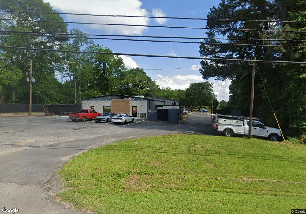
1325 Highway 29 N Newnan, GA 30263
Estimated Value: $533,585
--
Bed
--
Bath
9,050
Sq Ft
$59/Sq Ft
Est. Value
About This Home
This home is located at 1325 Highway 29 N, Newnan, GA 30263 and is currently estimated at $533,585, approximately $58 per square foot. 1325 Highway 29 N is a home located in Coweta County with nearby schools including Northside Elementary School, Evans Middle School, and Newnan High School.
Ownership History
Date
Name
Owned For
Owner Type
Purchase Details
Closed on
Dec 1, 2020
Sold by
Griffith Donald K
Bought by
Payne Real Estate Llc
Current Estimated Value
Purchase Details
Closed on
Jan 1, 2014
Sold by
Griffith Donald K
Bought by
Griffith Donald K
Purchase Details
Closed on
Jan 31, 2008
Sold by
Four Corners Realty Llc
Bought by
Griffith Donald K
Purchase Details
Closed on
Oct 31, 2005
Sold by
Fly-Marts Inc
Bought by
Four Corners Realty Inc
Purchase Details
Closed on
May 24, 1995
Bought by
Ply Marts Inc
Purchase Details
Closed on
Apr 30, 1987
Bought by
Newnan Glass Company
Create a Home Valuation Report for This Property
The Home Valuation Report is an in-depth analysis detailing your home's value as well as a comparison with similar homes in the area
Home Values in the Area
Average Home Value in this Area
Purchase History
| Date | Buyer | Sale Price | Title Company |
|---|---|---|---|
| Payne Real Estate Llc | $375,000 | -- | |
| Griffith Donald K | $375,000 | -- | |
| Griffith Donald K | $340,000 | -- | |
| Four Corners Realty Inc | $204,000 | -- | |
| Ply Marts Inc | $270,000 | -- | |
| Newnan Glass Company | -- | -- |
Source: Public Records
Tax History Compared to Growth
Tax History
| Year | Tax Paid | Tax Assessment Tax Assessment Total Assessment is a certain percentage of the fair market value that is determined by local assessors to be the total taxable value of land and additions on the property. | Land | Improvement |
|---|---|---|---|---|
| 2024 | $3,352 | $144,400 | $38,213 | $106,187 |
| 2023 | $3,352 | $144,795 | $38,213 | $106,582 |
| 2022 | $3,567 | $144,795 | $38,213 | $106,582 |
| 2021 | $3,737 | $141,949 | $38,213 | $103,736 |
| 2020 | $2,040 | $76,984 | $38,213 | $38,771 |
| 2019 | $2,253 | $76,984 | $38,213 | $38,771 |
| 2018 | $2,257 | $76,984 | $38,213 | $38,771 |
| 2017 | $2,256 | $76,984 | $38,213 | $38,771 |
| 2016 | $2,229 | $76,984 | $38,213 | $38,771 |
| 2015 | $2,192 | $76,984 | $38,213 | $38,771 |
| 2014 | $2,143 | $99,944 | $38,213 | $61,731 |
Source: Public Records
Map
Nearby Homes
- 4 Golf Ln
- 8 Pine Ridge Dr
- 42 Club Cresswind Dr
- 10 Hardin Ct Unit LOT 17
- 8 Hardin Ct Unit LOT 16
- 7 Red Bud Trail
- 15 Cloverhurst Dr Unit LOT 15
- 17 Cloverhurst Dr Unit LOT 14
- 367 Old Atlanta Hwy Unit LOT 4
- 371 Old Atlanta Hwy Unit LOT 5
- 264 Baldwin Ct
- 21 Hawthorne Dr
- 27 Churchill Park Dr
- 33 Churchill Park Dr
- 78 Bedford Park Dr
- 141 Green Park Way
- 21 Mill Ridge Place
- 21 Riva Ridge Ln
- 67 Seabiscuit Ct
- 137 Alessie Dr
- 1349 Highway 29 N
- 0 Pine Hollow Dr Unit 8116387
- 0 Pine Hollow Dr Unit 8054635
- 0 Pine Hollow Dr Unit 8002085
- 35 Club Ct Unit 106
- 35 Club Ct
- 35 Club Ct Unit 35
- 45 Club Ct
- 25 Club Ct
- 55 Club Ct
- 0 Club Ct Unit 24477783
- 0 Club Ct Unit 24477782
- 0 Club Ct Unit 8050129
- 0 Club Ct
- 65 Club Ct
- 0 Club Dr Unit 11 8358670
- 0 Club Dr Unit LOT 17 10375435
- 0 Club Dr Unit LOT 11 7109654
- 0 Club Dr Unit 8819546
- 0 Club Dr Unit 7365266