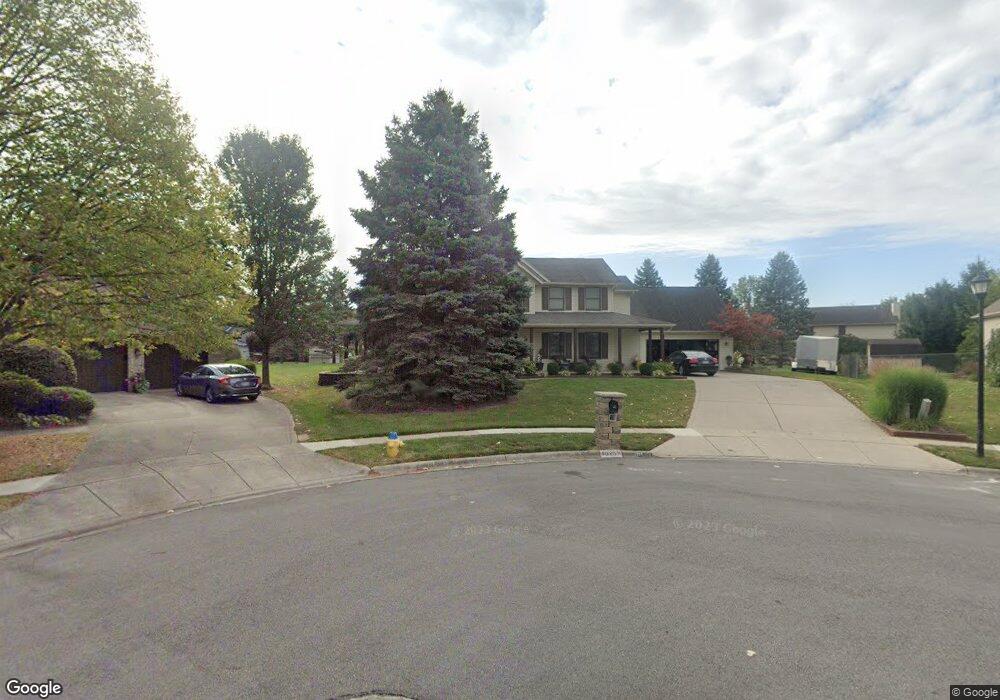
1325 Quinlan Ct Springfield, OH 45503
Estimated Value: $388,221 - $468,000
4
Beds
4
Baths
2,922
Sq Ft
$147/Sq Ft
Est. Value
About This Home
This home is located at 1325 Quinlan Ct, Springfield, OH 45503 and is currently estimated at $430,740, approximately $147 per square foot. 1325 Quinlan Ct is a home located in Clark County with nearby schools including Northridge Elementary School, Kenton Ridge Middle & High School, and Emmanuel Christian Academy.
Ownership History
Date
Name
Owned For
Owner Type
Purchase Details
Closed on
Nov 5, 2010
Sold by
Binz Suzanne L
Bought by
Stumpf Richard Alan and Stumpf Beth A
Current Estimated Value
Home Financials for this Owner
Home Financials are based on the most recent Mortgage that was taken out on this home.
Original Mortgage
$215,920
Outstanding Balance
$141,511
Interest Rate
4.37%
Mortgage Type
New Conventional
Estimated Equity
$289,229
Purchase Details
Closed on
Nov 12, 1992
Bought by
Binz Jeffrey D and Binz Suzanne L
Create a Home Valuation Report for This Property
The Home Valuation Report is an in-depth analysis detailing your home's value as well as a comparison with similar homes in the area
Home Values in the Area
Average Home Value in this Area
Purchase History
| Date | Buyer | Sale Price | Title Company |
|---|---|---|---|
| Stumpf Richard Alan | $269,900 | Ohio Real Estate Title | |
| Binz Jeffrey D | $28,000 | -- |
Source: Public Records
Mortgage History
| Date | Status | Borrower | Loan Amount |
|---|---|---|---|
| Open | Stumpf Richard Alan | $215,920 |
Source: Public Records
Tax History
| Year | Tax Paid | Tax Assessment Tax Assessment Total Assessment is a certain percentage of the fair market value that is determined by local assessors to be the total taxable value of land and additions on the property. | Land | Improvement |
|---|---|---|---|---|
| 2025 | $9,986 | $122,420 | $23,600 | $98,820 |
| 2024 | $6,970 | $109,720 | $19,770 | $89,950 |
| 2023 | $4,496 | $109,720 | $19,770 | $89,950 |
| 2022 | $4,513 | $109,720 | $19,770 | $89,950 |
| 2021 | $4,229 | $88,220 | $15,320 | $72,900 |
| 2020 | $4,234 | $88,220 | $15,320 | $72,900 |
| 2019 | $4,319 | $88,220 | $15,320 | $72,900 |
| 2018 | $3,787 | $74,790 | $15,680 | $59,110 |
| 2017 | $3,218 | $85,089 | $15,680 | $69,409 |
| 2016 | $3,194 | $85,089 | $15,680 | $69,409 |
| 2015 | $3,514 | $83,966 | $16,503 | $67,463 |
| 2014 | $3,513 | $83,966 | $16,503 | $67,463 |
| 2013 | $3,506 | $83,966 | $16,503 | $67,463 |
Source: Public Records
Map
Nearby Homes
- 3631 Kingsgate Ln
- 1500 Kingsgate Rd Unit 19430
- 1502 Kingsgate Rd Unit 19432
- 1500 Kingsgate Rd
- 1502 Kingsgate Rd
- 1503 Kingsgate Rd
- 1505 Kingsgate Rd
- 1507 Kingsgate Rd
- 1201 Kingsgate Rd
- 3052 Brixton Dr E
- 1136 Foxboro Rd Unit 202
- 1811 Saint Andrews Ct
- 1139 Bradford Dr
- 1415 Montego Dr
- 1644 Delmar Dr
- 1039 Bradford Dr Unit 42
- 1013 Abington Place
- 1031 Armsgate Rd Unit 11
- 1922 Wedgewood Cir
- 3126 Lakeview Ct Unit 3126
Your Personal Tour Guide
Ask me questions while you tour the home.