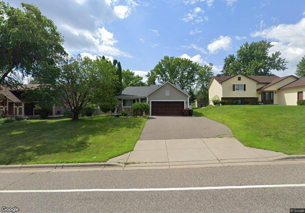
1326 Cope Ave E Saint Paul, MN 55109
Sherwood Glen NeighborhoodEstimated Value: $340,092 - $378,000
3
Beds
2
Baths
1,600
Sq Ft
$225/Sq Ft
Est. Value
About This Home
This home is located at 1326 Cope Ave E, Saint Paul, MN 55109 and is currently estimated at $359,523, approximately $224 per square foot. 1326 Cope Ave E is a home located in Ramsey County with nearby schools including Weaver Elementary School, John Glenn Middle School, and Presentation Of Mary School.
Ownership History
Date
Name
Owned For
Owner Type
Purchase Details
Closed on
Oct 23, 2020
Sold by
Leach Michael C and Leach Kelly
Bought by
Dash Dah Kler and Payleh Htwa R
Current Estimated Value
Home Financials for this Owner
Home Financials are based on the most recent Mortgage that was taken out on this home.
Original Mortgage
$270,750
Outstanding Balance
$240,818
Interest Rate
2.9%
Mortgage Type
New Conventional
Estimated Equity
$118,705
Purchase Details
Closed on
Jun 29, 2020
Sold by
Reeves Alan J and Reeves Kelly A
Bought by
Leach Michael C and Leach Kelly
Home Financials for this Owner
Home Financials are based on the most recent Mortgage that was taken out on this home.
Original Mortgage
$142,000
Interest Rate
3.1%
Mortgage Type
Unknown
Create a Home Valuation Report for This Property
The Home Valuation Report is an in-depth analysis detailing your home's value as well as a comparison with similar homes in the area
Home Values in the Area
Average Home Value in this Area
Purchase History
| Date | Buyer | Sale Price | Title Company |
|---|---|---|---|
| Dash Dah Kler | $285,000 | Results Title | |
| Leach Michael C | $177,500 | Results Title | |
| Dash Dah Dah | $285,000 | -- |
Source: Public Records
Mortgage History
| Date | Status | Borrower | Loan Amount |
|---|---|---|---|
| Open | Dash Dah Kler | $270,750 | |
| Previous Owner | Leach Michael C | $142,000 | |
| Closed | Dash Dah Dah | $270,750 |
Source: Public Records
Tax History
| Year | Tax Paid | Tax Assessment Tax Assessment Total Assessment is a certain percentage of the fair market value that is determined by local assessors to be the total taxable value of land and additions on the property. | Land | Improvement |
|---|---|---|---|---|
| 2025 | $4,656 | $343,000 | $57,200 | $285,800 |
| 2023 | $4,656 | $332,600 | $57,200 | $275,400 |
| 2022 | $4,104 | $297,900 | $57,200 | $240,700 |
| 2021 | $3,658 | $272,600 | $57,200 | $215,400 |
| 2020 | $3,628 | $260,700 | $57,200 | $203,500 |
| 2019 | $3,220 | $242,900 | $57,200 | $185,700 |
| 2018 | $3,274 | $221,900 | $57,200 | $164,700 |
| 2017 | $3,008 | $219,500 | $57,200 | $162,300 |
| 2016 | $2,916 | $0 | $0 | $0 |
| 2015 | $2,836 | $191,100 | $52,500 | $138,600 |
| 2014 | $2,602 | $0 | $0 | $0 |
Source: Public Records
Map
Nearby Homes
- 1442 Sandhurst Ave E
- 1290 Belmont Ln E
- 1261 Skillman Ave E
- 1515 Viking Dr E
- 1481 Sextant Ave E
- 2022 English St
- 1579 Grandview Ave E
- 2567 Clarence St
- 1705 Lark Ave
- 1984 Prosperity Rd
- 1855 Birmingham St
- 1800 Edward St
- 1764 English St
- 1875 E Shore Dr Unit 302
- 1800 E Shore Dr
- 1740 English St
- 1745 Duluth St
- 770 Viking Dr E
- 1856 Flandrau St
- 738 County Road B E
- 1318 Cope Ave E
- 1332 Cope Ave E
- 2249 Mcafee Cir
- 1340 Cope Ave E
- 2243 Mcafee Cir
- 1308 Cope Ave E
- 2246 Mcafee Cir
- 2252 English St
- 1346 Cope Ave E
- 2237 Mcafee Cir
- xxxx Cope Ave E
- 2240 Mcafee Cir
- 1356 Cope Ave E
- 2246 English St
- 1358 Cope Ave E
- 2234 Mcafee Cir
- 2231 Mcafee Cir
- 1294 Cope Ave E
- 2240 English St
- 2257 English St
Your Personal Tour Guide
Ask me questions while you tour the home.