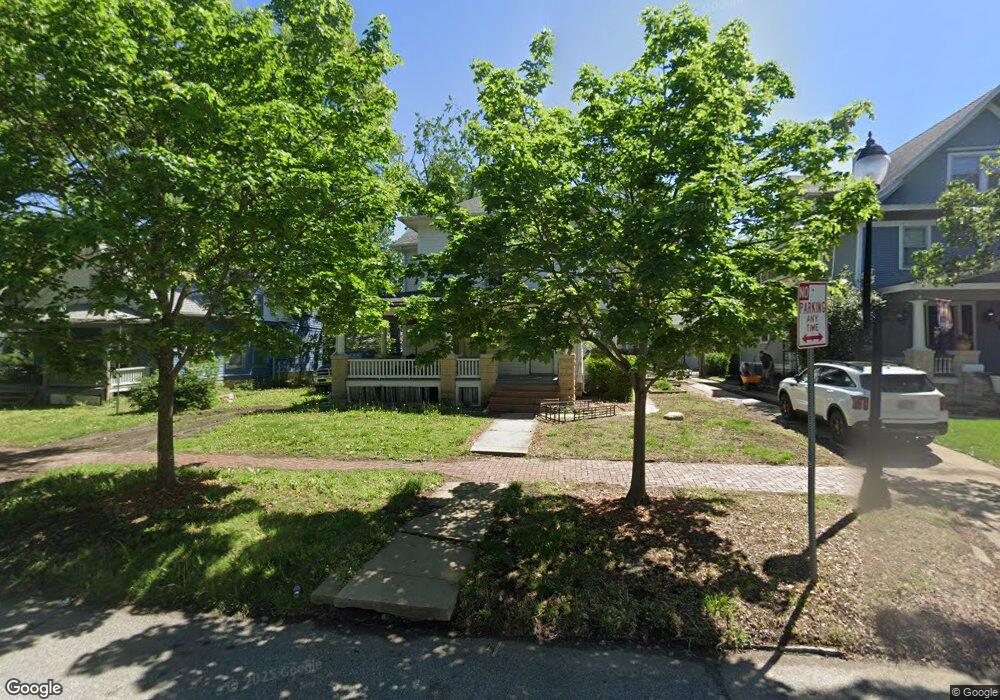
1326 SW Lane St Topeka, KS 66604
Central Park NeighborhoodEstimated Value: $67,000 - $104,000
3
Beds
2
Baths
1,808
Sq Ft
$45/Sq Ft
Est. Value
About This Home
This home is located at 1326 SW Lane St, Topeka, KS 66604 and is currently estimated at $80,761, approximately $44 per square foot. 1326 SW Lane St is a home located in Shawnee County with nearby schools including Randolph Elementary School, Robinson Middle School, and Topeka High School.
Ownership History
Date
Name
Owned For
Owner Type
Purchase Details
Closed on
May 6, 2022
Sold by
Chase Kimsey
Bought by
Kimsey Real Estate Holdings Llc-Series 1326
Current Estimated Value
Purchase Details
Closed on
Dec 10, 2010
Sold by
Craig Ardina Ann
Bought by
Keehn Gerald M
Home Financials for this Owner
Home Financials are based on the most recent Mortgage that was taken out on this home.
Original Mortgage
$25,000
Interest Rate
4.18%
Mortgage Type
Future Advance Clause Open End Mortgage
Create a Home Valuation Report for This Property
The Home Valuation Report is an in-depth analysis detailing your home's value as well as a comparison with similar homes in the area
Home Values in the Area
Average Home Value in this Area
Purchase History
| Date | Buyer | Sale Price | Title Company |
|---|---|---|---|
| Kimsey Real Estate Holdings Llc-Series 1326 | -- | None Listed On Document | |
| Keehn Gerald M | -- | Kansas Secured Title |
Source: Public Records
Mortgage History
| Date | Status | Borrower | Loan Amount |
|---|---|---|---|
| Previous Owner | Keehn Gerald M | $25,000 |
Source: Public Records
Tax History Compared to Growth
Tax History
| Year | Tax Paid | Tax Assessment Tax Assessment Total Assessment is a certain percentage of the fair market value that is determined by local assessors to be the total taxable value of land and additions on the property. | Land | Improvement |
|---|---|---|---|---|
| 2025 | $974 | $8,087 | -- | -- |
| 2023 | $974 | $7,131 | $0 | $0 |
| 2022 | $742 | $5,393 | $0 | $0 |
| 2021 | $739 | $4,903 | $0 | $0 |
| 2020 | $730 | $4,903 | $0 | $0 |
| 2019 | $719 | $4,806 | $0 | $0 |
| 2018 | $698 | $4,666 | $0 | $0 |
| 2017 | $700 | $4,666 | $0 | $0 |
| 2014 | $707 | $4,666 | $0 | $0 |
Source: Public Records
Map
Nearby Homes
- 1225 SW Throop St
- 1281 SW Buchanan St
- 0 SW Buchanan St
- 1531 SW 15th St
- 1630 SW Buchanan St
- 1301 SW Fillmore St Unit Main Floor Apt. 12
- 1224 SW Garfield Ave
- 1717 SW 15th St
- 1527 SW Mulvane St
- 1620 SW Clay St
- 1415 SW Fillmore St
- 1327 SW College Ave
- 1300 SW Fillmore St
- 1015 SW 16th St
- 1700 SW Buchanan St
- 1610 SW Central Park Ave
- 1501-1599 SW 17th St
- 1216 SW College Ave
- 918 SW 17th St
- 1637 SW Fillmore St
- 1322 SW Lane St
- 1334 SW Lane St
- 1320 SW Lane St
- 1310 SW 14th St
- 1327 SW Lincoln St
- 1325 SW Lincoln St
- 1314 SW Lane St
- 1321 SW Lincoln St
- 1333 SW Lincoln St
- 1319 SW Lincoln St
- 1335 SW Lincoln St
- 1315 SW Lane St
- 1310 SW Lane St
- 1317 SW Lincoln St
- 1401 SW Lincoln St
- 1315 SW Lincoln St
- 1306 SW Lane St
- 1403 SW Lincoln St
- 1309 SW Lincoln St
- 1333 SW Lane St