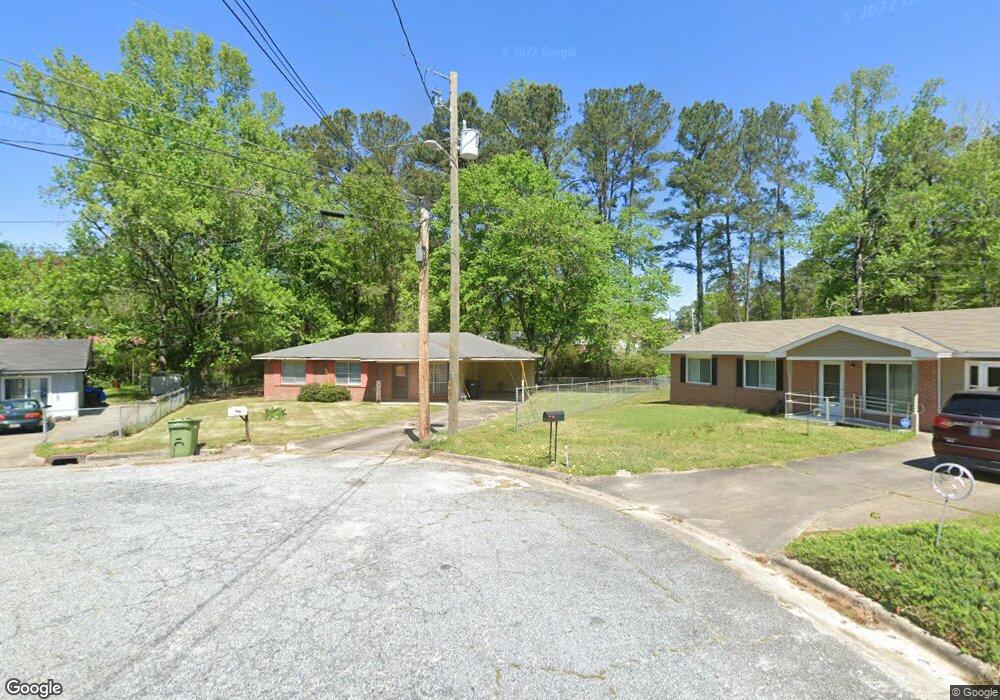
1329 Penrod Dr Columbus, GA 31907
Eastern Columbus NeighborhoodEstimated Value: $109,774 - $139,000
3
Beds
2
Baths
1,026
Sq Ft
$118/Sq Ft
Est. Value
About This Home
This home is located at 1329 Penrod Dr, Columbus, GA 31907 and is currently estimated at $120,694, approximately $117 per square foot. 1329 Penrod Dr is a home located in Muscogee County with nearby schools including Georgetown Elementary School, East Columbus Magnet Academy, and Kendrick High School.
Ownership History
Date
Name
Owned For
Owner Type
Purchase Details
Closed on
Dec 3, 2010
Sold by
Washington Anne R and Washington Anne B
Bought by
Washington Anne R
Current Estimated Value
Home Financials for this Owner
Home Financials are based on the most recent Mortgage that was taken out on this home.
Original Mortgage
$58,220
Interest Rate
3%
Mortgage Type
VA
Create a Home Valuation Report for This Property
The Home Valuation Report is an in-depth analysis detailing your home's value as well as a comparison with similar homes in the area
Home Values in the Area
Average Home Value in this Area
Purchase History
| Date | Buyer | Sale Price | Title Company |
|---|---|---|---|
| Washington Anne R | -- | National Title Network Inc |
Source: Public Records
Mortgage History
| Date | Status | Borrower | Loan Amount |
|---|---|---|---|
| Closed | Washington Anne R | $58,220 |
Source: Public Records
Tax History Compared to Growth
Tax History
| Year | Tax Paid | Tax Assessment Tax Assessment Total Assessment is a certain percentage of the fair market value that is determined by local assessors to be the total taxable value of land and additions on the property. | Land | Improvement |
|---|---|---|---|---|
| 2025 | $424 | $29,164 | $6,092 | $23,072 |
| 2024 | $422 | $29,164 | $6,092 | $23,072 |
| 2023 | $20 | $29,164 | $6,092 | $23,072 |
| 2022 | $440 | $26,428 | $6,092 | $20,336 |
| 2021 | $433 | $23,220 | $6,092 | $17,128 |
| 2020 | $434 | $23,220 | $6,092 | $17,128 |
| 2019 | $437 | $23,220 | $6,092 | $17,128 |
| 2018 | $437 | $23,220 | $6,092 | $17,128 |
| 2017 | $440 | $23,220 | $6,092 | $17,128 |
| 2016 | $443 | $24,002 | $2,637 | $21,365 |
| 2015 | $444 | $24,002 | $2,637 | $21,365 |
| 2014 | $445 | $24,002 | $2,637 | $21,365 |
| 2013 | -- | $24,002 | $2,637 | $21,365 |
Source: Public Records
Map
Nearby Homes
- 1322 Melford Dr
- 1607 Mazor Dr
- 6620 Cove Cir
- 6188 Valencia Dr
- 1826 Woodhollow Dr
- 6213 Fitzgerald Dr
- 6119 Mill Branch Rd
- 1925 Woodhollow Dr
- 6061 Luna Dr
- 6047 Capri Cir
- 1754 Mazor Dr
- 6033 Luna Dr
- 6223 Georgetown Dr
- 6032 Cordova Rd
- 1111 Richland Dr
- 1252 School House Dr
- 1068 Valencia Dr
- 5834 Blueridge Dr
- 6916 Bradshaw Dr
- 5500 Amber Dr