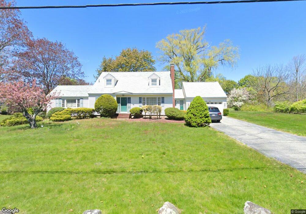
133 Bailey Rd Andover, MA 01810
Far West Andover NeighborhoodEstimated Value: $911,519 - $1,135,000
3
Beds
3
Baths
2,648
Sq Ft
$391/Sq Ft
Est. Value
About This Home
This home is located at 133 Bailey Rd, Andover, MA 01810 and is currently estimated at $1,034,880, approximately $390 per square foot. 133 Bailey Rd is a home located in Essex County with nearby schools including High Plain Elementary School, Wood Hill Middle School, and Andover High School.
Ownership History
Date
Name
Owned For
Owner Type
Purchase Details
Closed on
Jul 5, 2001
Sold by
Edmonds Richard and Edmonds Evelyn S
Bought by
Cheng Chiochen and Cheng Chunhua
Current Estimated Value
Home Financials for this Owner
Home Financials are based on the most recent Mortgage that was taken out on this home.
Original Mortgage
$372,000
Interest Rate
7.21%
Mortgage Type
Purchase Money Mortgage
Create a Home Valuation Report for This Property
The Home Valuation Report is an in-depth analysis detailing your home's value as well as a comparison with similar homes in the area
Home Values in the Area
Average Home Value in this Area
Purchase History
| Date | Buyer | Sale Price | Title Company |
|---|---|---|---|
| Cheng Chiochen | $465,000 | -- |
Source: Public Records
Mortgage History
| Date | Status | Borrower | Loan Amount |
|---|---|---|---|
| Open | Cheng Chiochen | $370,000 | |
| Closed | Cheng Chiochen | $370,000 | |
| Closed | Cheng Chiochen | $372,000 |
Source: Public Records
Tax History
| Year | Tax Paid | Tax Assessment Tax Assessment Total Assessment is a certain percentage of the fair market value that is determined by local assessors to be the total taxable value of land and additions on the property. | Land | Improvement |
|---|---|---|---|---|
| 2024 | $10,347 | $803,300 | $444,300 | $359,000 |
| 2023 | $9,891 | $724,100 | $400,300 | $323,800 |
| 2022 | $9,395 | $643,500 | $348,000 | $295,500 |
| 2021 | $8,981 | $587,400 | $316,200 | $271,200 |
| 2020 | $8,611 | $573,700 | $308,400 | $265,300 |
| 2019 | $8,516 | $557,700 | $299,300 | $258,400 |
| 2018 | $8,219 | $525,500 | $287,900 | $237,600 |
| 2017 | $7,860 | $517,800 | $282,300 | $235,500 |
| 2016 | $7,674 | $517,800 | $282,300 | $235,500 |
| 2015 | $7,415 | $495,300 | $271,400 | $223,900 |
Source: Public Records
Map
Nearby Homes
- 2 Francis Dr Unit 405
- 4 Francis Dr Unit 312
- 4 Francis Dr Unit 207
- 2 Francis Dr Unit 301
- 20 Mount Joy Dr
- 821 Merrimack Ave
- 20 Mount Pleasant St
- 31 Varnum Ave
- 29 Stoneybrook Cir
- 18 Ravens Bluff
- 30 Parker Rd
- 935 Methuen St Unit 13
- 84 Tellier Way
- 31 Floyd Ave
- 206 Burnham Rd
- 322 River Rd
- 194 River Rd
- 251 Clark Rd
- 45 Clark Rd
- 43 Oheir Way
- 5 Fiske St
- Unit 3-B, 18 Dale St Unit 3-B
- Lot 1 138 Argilla Rd
- Unit 4-G, 18 Dale St Unit 4-G
- B1 Colonial Drive #8 Unit 8
- Unit 7-A, 18 Dale St Unit A ,Bldg 7
- Unit 2-D 18 Dale St Unit D,2
- LOT B Lowell St
- LOT C Lowell St
- LOT 4 Highland Road (163)
- LOT 2 So Main St (#422)
- LOT Somerset Village
- LOT 1 Devonshire Place
- LOT 15 Possum Hollow
- LOT 83 Reservation Rd
- LOT 1 Stirling St
- LOT39 Cormier Way
- LOT 45 Somerset Village
- LOT 29 Prides Cir
- LOT 19 Lenox Cir
Your Personal Tour Guide
Ask me questions while you tour the home.