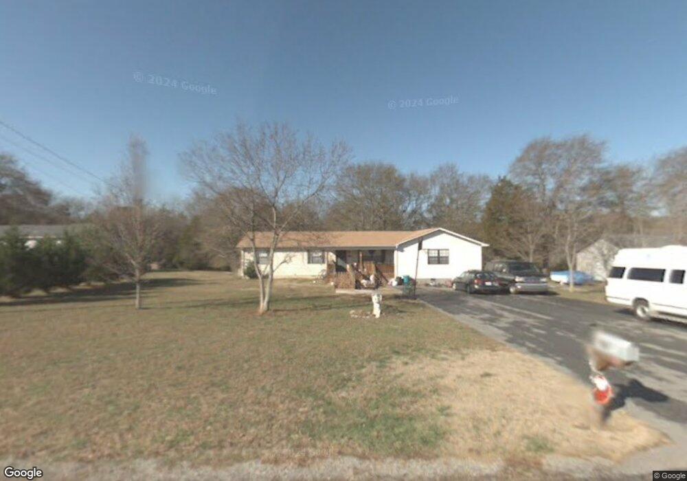
133 Circle r Dr Benton, TN 37307
Estimated Value: $269,000 - $379,000
Studio
3
Baths
1,824
Sq Ft
$168/Sq Ft
Est. Value
About This Home
This home is located at 133 Circle r Dr, Benton, TN 37307 and is currently estimated at $306,465, approximately $168 per square foot. 133 Circle r Dr is a home located in Polk County.
Ownership History
Date
Name
Owned For
Owner Type
Purchase Details
Closed on
Aug 6, 2024
Sold by
Burgess Dylan Lynn and Burgess Melissa
Bought by
Ramsey Randall Brad
Current Estimated Value
Purchase Details
Closed on
Jun 28, 2000
Sold by
Smith Charles F
Bought by
Patterson James R
Purchase Details
Closed on
Nov 14, 1996
Bought by
Smith Charles F and Smith Marietta G
Purchase Details
Closed on
May 30, 1991
Bought by
Trew Daren Scott and Melissa Gayle
Purchase Details
Closed on
Apr 19, 1991
Bought by
Ramsey Harold and Ramsey Helen
Purchase Details
Closed on
Jul 22, 1989
Bought by
Chastain Toddy and Chastain Sandra
Create a Home Valuation Report for This Property
The Home Valuation Report is an in-depth analysis detailing your home's value as well as a comparison with similar homes in the area
Purchase History
| Date | Buyer | Sale Price | Title Company |
|---|---|---|---|
| Ramsey Randall Brad | $550,000 | None Listed On Document | |
| Ramsey Randall Brad | $550,000 | None Listed On Document | |
| Patterson James R | $264 | -- | |
| Patterson James R | $68,500 | -- | |
| Smith Charles F | $46,900 | -- | |
| Trew Daren Scott | $7,000 | -- | |
| Ramsey Harold | -- | -- | |
| Chastain Toddy | $6,600 | -- |
Source: Public Records
Tax History
| Year | Tax Paid | Tax Assessment Tax Assessment Total Assessment is a certain percentage of the fair market value that is determined by local assessors to be the total taxable value of land and additions on the property. | Land | Improvement |
|---|---|---|---|---|
| 2025 | $928 | $54,925 | $7,500 | $47,425 |
| 2024 | $928 | $54,925 | $7,500 | $47,425 |
| 2023 | $928 | $54,925 | $0 | $0 |
| 2022 | $680 | $27,075 | $4,500 | $22,575 |
| 2021 | $680 | $27,075 | $4,500 | $22,575 |
| 2020 | $680 | $27,075 | $4,500 | $22,575 |
| 2019 | $680 | $27,075 | $4,500 | $22,575 |
| 2018 | $680 | $27,075 | $4,500 | $22,575 |
| 2017 | $711 | $28,175 | $4,500 | $23,675 |
| 2016 | $677 | $28,175 | $4,500 | $23,675 |
| 2015 | $677 | $28,175 | $4,500 | $23,675 |
| 2014 | $677 | $28,184 | $0 | $0 |
Source: Public Records
Map
Nearby Homes
- 1099 Thomas Rd
- 316 Circle r Dr
- 5220 Upper River Rd NE
- 1020 Thomas Rd
- 1599 Benton Station Rd
- Lot 1 Benton Station Rd
- 173 Claire St
- 388 Patty Rd
- 0 Ocoee River Landing Dr Unit 20252171
- 2 Prater St
- 0 Baker Bridge Rd
- 439 Town Creek Rd
- Lot 1 Wilson St
- 122 Crossing Way
- 135 Franklin Dr
- 125 Lindon St
- 129 Lindon St
- 301 Etowah Rd
- 132 Commerce St
- 130 Cherokee Cir
- 141 Circle r Dr
- 125 Circle r Dr
- 161 Circle r Dr
- 148 Circle r Dr
- 134 Circle r Dr
- 126 Circle r Dr
- 4 Circle r Dr
- 166 Circle r Dr
- 130 Circle r Dr
- 1137 Benton Station Rd
- 24 Circle r Dr
- 0 Circle r Dr
- 23 Circle r Dr
- 0 Circle r Dr Unit 1255080
- 0 Circle r Dr Unit 1255079
- 0 Circle r Dr Unit 976921
- 0 Circle r Dr Unit 12692
- 0 Circle r Dr Unit 1071267
- 0 Circle r Dr Unit 1071263
- 0 Circle r Dr Unit 1071271
Your Personal Tour Guide
Ask me questions while you tour the home.