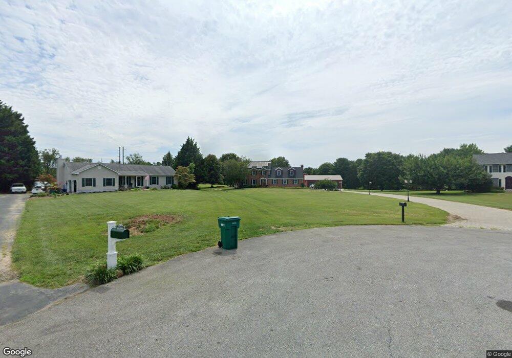
133 Connemara Ct Middletown, DE 19709
Estimated Value: $709,000 - $1,017,000
8
Beds
7
Baths
4,135
Sq Ft
$210/Sq Ft
Est. Value
About This Home
This home is located at 133 Connemara Ct, Middletown, DE 19709 and is currently estimated at $869,209, approximately $210 per square foot. 133 Connemara Ct is a home located in New Castle County with nearby schools including Everett Meredith Middle School and Appoquinimink High School.
Ownership History
Date
Name
Owned For
Owner Type
Purchase Details
Closed on
Feb 9, 2021
Sold by
Rizzo Miriam L
Bought by
Rizzo Miriam L and Rizzo John F
Current Estimated Value
Home Financials for this Owner
Home Financials are based on the most recent Mortgage that was taken out on this home.
Original Mortgage
$232,000
Outstanding Balance
$206,842
Interest Rate
2.65%
Mortgage Type
New Conventional
Estimated Equity
$662,367
Purchase Details
Closed on
May 21, 1993
Bought by
Rizzo John F and Rizzo Miriam L
Create a Home Valuation Report for This Property
The Home Valuation Report is an in-depth analysis detailing your home's value as well as a comparison with similar homes in the area
Home Values in the Area
Average Home Value in this Area
Purchase History
| Date | Buyer | Sale Price | Title Company |
|---|---|---|---|
| Rizzo Miriam L | -- | None Available | |
| Rizzo John F | $167,800 | -- |
Source: Public Records
Mortgage History
| Date | Status | Borrower | Loan Amount |
|---|---|---|---|
| Open | Rizzo Miriam L | $232,000 |
Source: Public Records
Tax History Compared to Growth
Tax History
| Year | Tax Paid | Tax Assessment Tax Assessment Total Assessment is a certain percentage of the fair market value that is determined by local assessors to be the total taxable value of land and additions on the property. | Land | Improvement |
|---|---|---|---|---|
| 2024 | $7,562 | $175,000 | $18,200 | $156,800 |
| 2023 | $6,465 | $175,000 | $18,200 | $156,800 |
| 2022 | $0 | $175,000 | $18,200 | $156,800 |
| 2021 | $4,138 | $113,300 | $18,200 | $95,100 |
| 2020 | $4,081 | $113,300 | $18,200 | $95,100 |
| 2019 | $3,788 | $113,300 | $18,200 | $95,100 |
| 2018 | $3,663 | $113,300 | $18,200 | $95,100 |
| 2017 | $3,514 | $113,300 | $18,200 | $95,100 |
| 2016 | $3,201 | $113,300 | $18,200 | $95,100 |
| 2015 | $3,119 | $113,300 | $18,200 | $95,100 |
| 2014 | $3,116 | $113,300 | $18,200 | $95,100 |
Source: Public Records
Map
Nearby Homes
- 278 Abbotsford Dr Unit PLAZA LOT 22
- 274 Abbotsford Dr Unit PG21
- 269 Abbotsford Dr Unit PHILADELPHIAN GRAND
- Dalton Plan at Copperleaf
- Montgomery Plan at Copperleaf
- Emerson Plan at Copperleaf
- Emerson II Plan at Copperleaf
- Aurora Plan at Copperleaf
- 240 Abbotsford Dr Unit PHIL GRAND LOT 18
- 135 Ayshire Dr
- 409 Crownleaf Dr
- 503 Tarbet Ct Unit PHIL GRAND LOT 31
- 411 Crownleaf Dr
- 129 Ayshire Dr Unit RITTENHOUSE
- 129 Ayshire Dr Unit PLAZA
- 129 Ayshire Dr Unit PHILADELPHIAN GRAND
- 129 Ayshire Dr Unit SOMERSET FLOORPLAN
- 129 Ayshire Dr Unit BRANDYWINE GRAND
- 129 Ayshire Dr Unit HANCOCK GRAND
- 129 Ayshire Dr Unit LEXINGTON