133 Ellis Rd Sullivan, NH 03445
Estimated Value: $472,000 - $738,597
4
Beds
3
Baths
3,149
Sq Ft
$192/Sq Ft
Est. Value
About This Home
This home is located at 133 Ellis Rd, Sullivan, NH 03445 and is currently estimated at $605,899, approximately $192 per square foot. 133 Ellis Rd is a home located in Cheshire County with nearby schools including Keene High School.
Ownership History
Date
Name
Owned For
Owner Type
Purchase Details
Closed on
Apr 8, 2002
Sold by
Putnam Howard W and Putnam Judith L
Bought by
Bolduc Paul E and Bolduc Sara E
Current Estimated Value
Create a Home Valuation Report for This Property
The Home Valuation Report is an in-depth analysis detailing your home's value as well as a comparison with similar homes in the area
Purchase History
| Date | Buyer | Sale Price | Title Company |
|---|---|---|---|
| Bolduc Paul E | $178,000 | -- |
Source: Public Records
Mortgage History
| Date | Status | Borrower | Loan Amount |
|---|---|---|---|
| Open | Bolduc Paul E | $40,000 | |
| Closed | Bolduc Paul E | $20,000 | |
| Open | Bolduc Paul E | $123,607 | |
| Closed | Bolduc Paul E | $93,000 |
Source: Public Records
Tax History
| Year | Tax Paid | Tax Assessment Tax Assessment Total Assessment is a certain percentage of the fair market value that is determined by local assessors to be the total taxable value of land and additions on the property. | Land | Improvement |
|---|---|---|---|---|
| 2024 | $10,965 | $606,149 | $89,649 | $516,500 |
| 2023 | $11,669 | $355,775 | $48,775 | $307,000 |
| 2022 | $9,400 | $355,808 | $48,808 | $307,000 |
| 2021 | $8,338 | $354,960 | $48,960 | $306,000 |
| 2020 | $142 | $345,607 | $48,907 | $296,700 |
| 2019 | $146 | $345,624 | $48,924 | $296,700 |
| 2018 | $3,311 | $279,659 | $42,159 | $237,500 |
| 2017 | $7,959 | $250,270 | $42,070 | $208,200 |
| 2016 | $208 | $257,453 | $42,053 | $215,400 |
| 2015 | $7,075 | $264,774 | $41,974 | $222,800 |
| 2014 | $6,785 | $261,972 | $63,772 | $198,200 |
| 2013 | $8,161 | $277,392 | $77,792 | $199,600 |
Source: Public Records
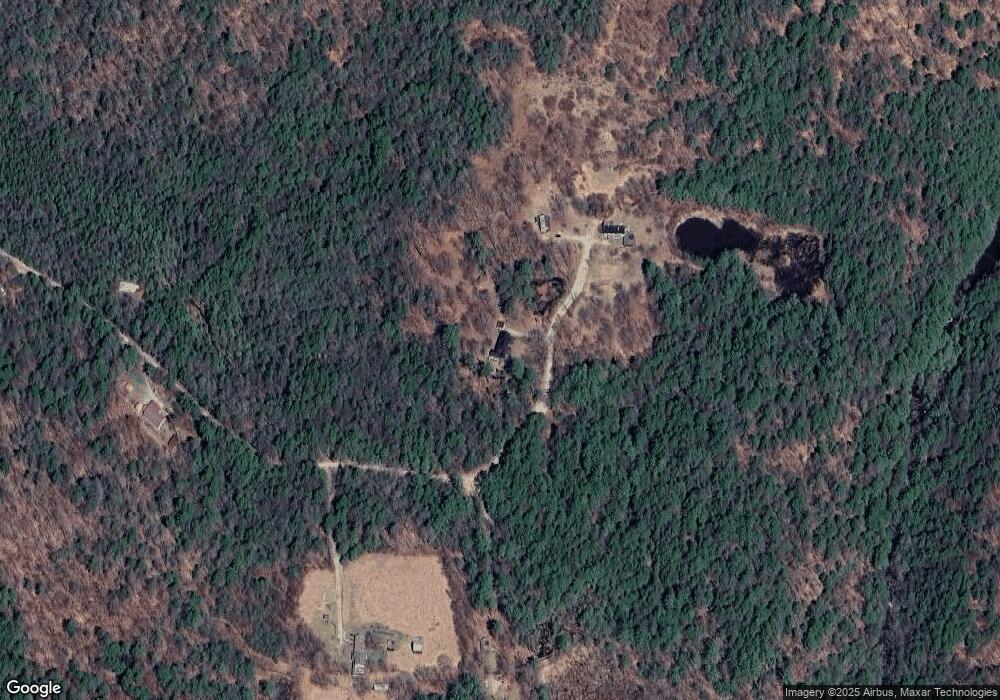
Map
Nearby Homes
- 258 Valley Rd
- 21 Heights Ln
- Lot 53 Apple Hill Rd
- 22 Lakeview Terrace
- 787 Route 10
- 32 Old Stoddard Rd
- Lot 4 Belvedere Rd
- 29&31 White Brook Rd
- 0 New Hampshire 10 Unit 7
- 0 Old Stoddard Rd Unit 5
- 225B Belvedere Rd Unit B
- 161 Concord Rd
- 145 Concord Rd
- 00 Concord Rd Unit 32
- 130 Silver Rd
- 138 Miller Dr
- 471 Chapman Rd
- 28 Village Rd
- 00 Scenic Dr Unit 22
- 24 Village Rd
Your Personal Tour Guide
Ask me questions while you tour the home.