133 King Tree Ln Springfield, OH 45506
Cedar Hills/Broadview NeighborhoodEstimated Value: $201,000 - $302,000
About This Home
This home is located at 133 King Tree Ln, Springfield, OH 45506 and is currently estimated at $242,773, approximately $239 per square foot. 133 King Tree Ln is a home located in Clark County with nearby schools including Possum Elementary School, Shawnee Middle School/High School, and Springfield Christian School.
Ownership History
We collect this data history from publicly available records. To have your information removed, we recommend requesting removal directly through your county’s website.
Purchase Details
Home Financials for this Owner
Home Financials are based on the most recent Mortgage that was taken out on this home.Purchase Details
Home Financials for this Owner
Home Financials are based on the most recent Mortgage that was taken out on this home.Home Values in the Area
Average Home Value in this Area
Purchase History
We collect this data history from publicly available records. To have your information removed, we recommend requesting removal directly through your county’s website.
| Date | Buyer | Sale Price | Title Company |
|---|---|---|---|
| $130,000 | None Available | ||
| -- | Attorney |
Mortgage History
We collect this data history from publicly available records. To have your information removed, we recommend requesting removal directly through your county’s website.
| Date | Status | Borrower | Loan Amount |
|---|---|---|---|
| Previous Owner | $104,000 |
Tax History
We collect this data history from publicly available records. To have your information removed, we recommend requesting removal directly through your county’s website.
| Year | Tax Paid | Tax Assessment Tax Assessment Total Assessment is a certain percentage of the fair market value that is determined by local assessors to be the total taxable value of land and additions on the property. | Land | Improvement |
|---|---|---|---|---|
| 2025 | $3,040 | $73,080 | $19,190 | $53,890 |
| 2024 | $2,961 | $60,590 | $13,890 | $46,700 |
| 2023 | $2,961 | $60,590 | $13,890 | $46,700 |
| 2022 | $2,937 | $60,590 | $13,890 | $46,700 |
| 2021 | $2,543 | $46,970 | $10,770 | $36,200 |
| 2020 | $2,564 | $46,970 | $10,770 | $36,200 |
| 2019 | $2,604 | $46,970 | $10,770 | $36,200 |
| 2018 | $2,425 | $43,090 | $11,220 | $31,870 |
| 2017 | $2,485 | $43,089 | $11,218 | $31,871 |
| 2016 | $2,242 | $43,089 | $11,218 | $31,871 |
| 2015 | $2,254 | $41,864 | $11,218 | $30,646 |
| 2014 | $2,261 | $41,864 | $11,218 | $30,646 |
| 2013 | $1,965 | $41,864 | $11,218 | $30,646 |
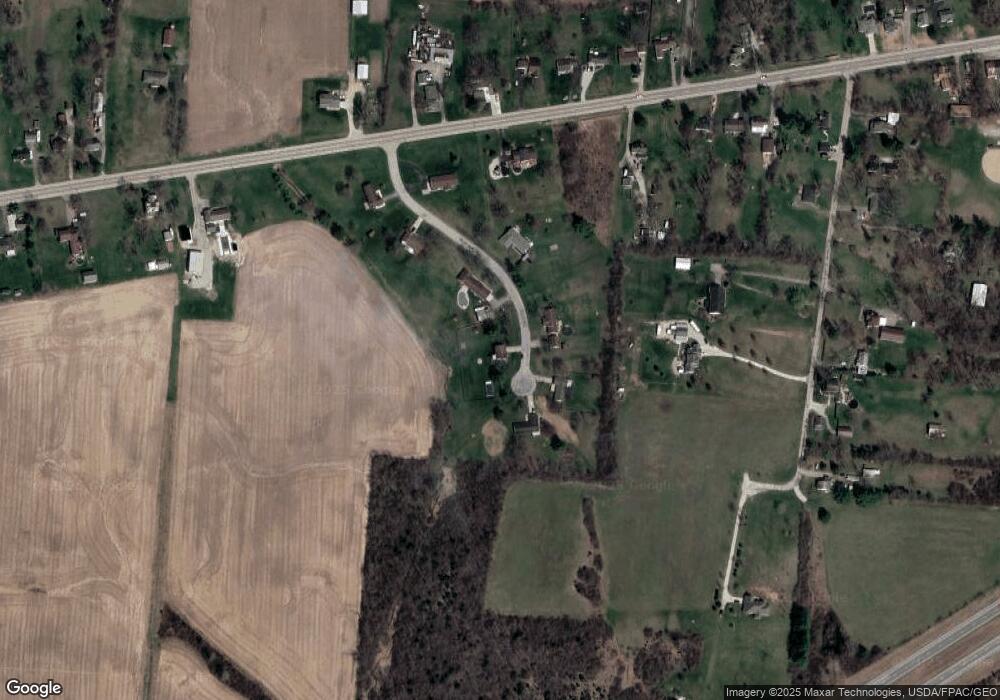
Map
- 198 E Downey Dr
- 80 Carlisle Ave
- 3753 W National Rd
- 4461 New Carlisle Pike
- 3689 W National Rd
- 29 Gordon Rd
- 330 Saint Paul Ave
- 3267 Lower Valley Pike Unit Tract 2
- 5031 W National Rd
- 4996 Shannon Ave
- 3183 Lower Valley Pike
- 344 Greenacres Dr
- 3319 Wendover St
- 624 Aberfelda Dr
- 769 Shrine Rd
- 316 S Tecumseh Rd
- 4004 Sintz Rd
- 190 Oakridge Dr
- 254 Oakridge Dr
- 422 Shrine Rd
- 122 King Tree Ln
- 95 King Tree Ln
- 138 King Tree Ln
- 150 King Tree Ln
- 88 King Tree Ln
- 63 King Tree Ln
- 50 King Tree Ln
- 4179 W National Rd
- 25 King Tree Ln
- 107 Rockway Ave
- 95 Rockway Ave
- 0 Kingsgate Rd Unit Lot18475 768008
- 00 Kingsgate Rd
- 0 Kingsgate Rd
- 0 Kingsgate Rd Unit 216035318
- 0 Kingsgate Rd Unit 216035315
- 0 Kingsgate Rd Unit 18475 210818
- 0 Kingsgate Rd Unit 18476 210812
- 0 Kingsgate Rd Unit 18475 305098
- 0 Kingsgate Rd Unit 18476 305097
Ask me questions while you tour the home.