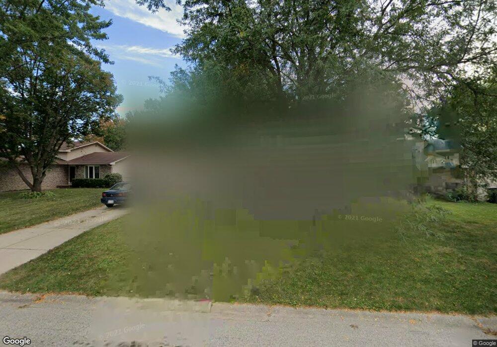
133 Laurie Ln Oswego, IL 60543
Northwest Oswego NeighborhoodEstimated Value: $252,000 - $322,000
3
Beds
1
Bath
960
Sq Ft
$299/Sq Ft
Est. Value
About This Home
This home is located at 133 Laurie Ln, Oswego, IL 60543 and is currently estimated at $286,667, approximately $298 per square foot. 133 Laurie Ln is a home located in Kendall County with nearby schools including Fox Chase Elementary School, Traughber Junior High School, and Oswego High School.
Ownership History
Date
Name
Owned For
Owner Type
Purchase Details
Closed on
Jun 19, 2015
Sold by
Mccune Joseph E and Mccune Christine M
Bought by
Mccune Joseph E
Current Estimated Value
Home Financials for this Owner
Home Financials are based on the most recent Mortgage that was taken out on this home.
Original Mortgage
$155,715
Outstanding Balance
$121,120
Interest Rate
3.87%
Mortgage Type
FHA
Estimated Equity
$165,547
Purchase Details
Closed on
Mar 16, 2007
Sold by
Mccune Antoinette S
Bought by
Mccune Joseph E and Mccune Christine M
Home Financials for this Owner
Home Financials are based on the most recent Mortgage that was taken out on this home.
Original Mortgage
$147,910
Interest Rate
6.31%
Mortgage Type
FHA
Purchase Details
Closed on
Feb 17, 2004
Sold by
Mccune Donald J
Bought by
Mccune Donald J and Mccune Antoinette S
Create a Home Valuation Report for This Property
The Home Valuation Report is an in-depth analysis detailing your home's value as well as a comparison with similar homes in the area
Home Values in the Area
Average Home Value in this Area
Purchase History
| Date | Buyer | Sale Price | Title Company |
|---|---|---|---|
| Mccune Joseph E | -- | Near North National Title | |
| Mccune Joseph E | $150,000 | First American Title | |
| Mccune Donald J | -- | -- |
Source: Public Records
Mortgage History
| Date | Status | Borrower | Loan Amount |
|---|---|---|---|
| Open | Mccune Joseph E | $155,715 | |
| Closed | Mccune Joseph E | $147,910 |
Source: Public Records
Tax History Compared to Growth
Tax History
| Year | Tax Paid | Tax Assessment Tax Assessment Total Assessment is a certain percentage of the fair market value that is determined by local assessors to be the total taxable value of land and additions on the property. | Land | Improvement |
|---|---|---|---|---|
| 2024 | $5,437 | $74,693 | $18,767 | $55,926 |
| 2023 | $5,053 | $67,291 | $16,907 | $50,384 |
| 2022 | $5,053 | $62,889 | $15,801 | $47,088 |
| 2021 | $4,809 | $58,231 | $14,631 | $43,600 |
| 2020 | $4,699 | $56,535 | $14,205 | $42,330 |
| 2019 | $4,658 | $55,303 | $14,205 | $41,098 |
| 2018 | $3,898 | $47,062 | $12,088 | $34,974 |
| 2017 | $3,754 | $43,176 | $11,090 | $32,086 |
| 2016 | $3,681 | $41,918 | $10,767 | $31,151 |
| 2015 | $3,379 | $37,426 | $9,613 | $27,813 |
| 2014 | -- | $36,336 | $9,333 | $27,003 |
| 2013 | -- | $39,070 | $10,035 | $29,035 |
Source: Public Records
Map
Nearby Homes
- 2100 Light Rd Unit 109
- 173 Dolores St
- 102 Mary St
- 1721 State Route 31
- 7.43 Acres Vacant La State Route 31
- 11-13 W Anchor Rd
- 5.43 B-3 Commercial State Route 31
- 409 Fawn Dr
- 133 River Mist Dr Unit 3
- 608 Clearwater Ct
- Parcel 004 & 003 Illinois 25
- 602 Clearwater Ct Unit 2
- 156 River Mist Dr
- 435 Fawn Dr
- 2110 State Route 31
- 403 Lake Ct
- 505 Parkland Ct
- 338 Millstream Ln Unit 1
- 2350 State Route 31
- 125 Presidential Blvd Unit 3248
- 131 Laurie Ln
- 135 Laurie Ln
- 132 Dolores St
- 137 Laurie Ln
- 137 Laurie Ln Unit 1
- 129 Laurie Ln Unit 1
- 134 Dolores St
- 130 Dolores St
- 136 Dolores St
- 130 Laurie Ln
- 132 Laurie Ln Unit 1
- 128 Dolores St
- 127 Laurie Ln
- 139 Laurie Ln Unit 1
- 134 Laurie Ln Unit 1
- 138 Dolores St Unit 1
- 126 Dolores St
- 128 Laurie Ln
- 136 Laurie Ln
- 126 Laurie Ln