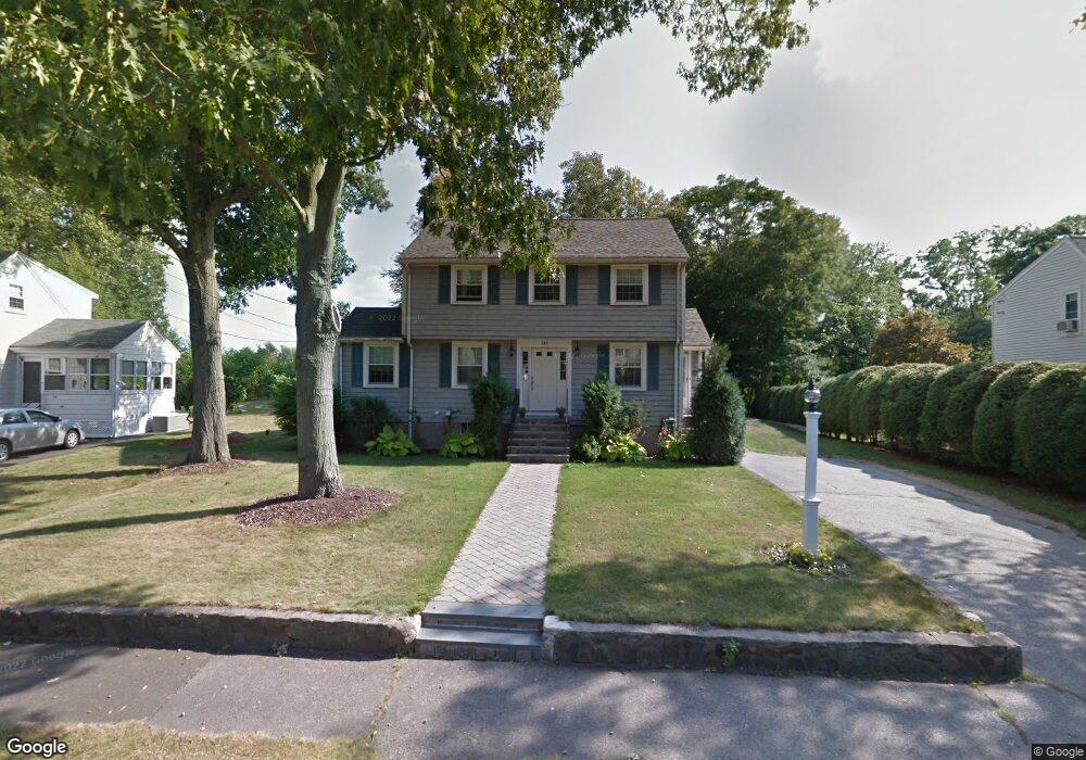
133 Lyman Rd Milton, MA 02186
Estimated Value: $954,000 - $1,107,000
3
Beds
2
Baths
1,618
Sq Ft
$652/Sq Ft
Est. Value
About This Home
This home is located at 133 Lyman Rd, Milton, MA 02186 and is currently estimated at $1,055,254, approximately $652 per square foot. 133 Lyman Rd is a home located in Norfolk County with nearby schools including Milton High School, St. Agatha School, and Milton Academy.
Ownership History
Date
Name
Owned For
Owner Type
Purchase Details
Closed on
Mar 5, 2025
Sold by
Mattivello Joseph
Bought by
Brown Sarah
Current Estimated Value
Purchase Details
Closed on
Feb 29, 2008
Sold by
Taylor Margaret M
Bought by
Mattivello Joseph and Brown Sarah
Home Financials for this Owner
Home Financials are based on the most recent Mortgage that was taken out on this home.
Original Mortgage
$409,500
Interest Rate
5.8%
Mortgage Type
Purchase Money Mortgage
Create a Home Valuation Report for This Property
The Home Valuation Report is an in-depth analysis detailing your home's value as well as a comparison with similar homes in the area
Purchase History
| Date | Buyer | Sale Price | Title Company |
|---|---|---|---|
| Brown Sarah | -- | None Available | |
| Mattivello Joseph | $455,000 | -- | |
| Mattivello Joseph | $455,000 | -- |
Source: Public Records
Mortgage History
| Date | Status | Borrower | Loan Amount |
|---|---|---|---|
| Previous Owner | Mattivello Joseph | $409,500 |
Source: Public Records
Tax History
| Year | Tax Paid | Tax Assessment Tax Assessment Total Assessment is a certain percentage of the fair market value that is determined by local assessors to be the total taxable value of land and additions on the property. | Land | Improvement |
|---|---|---|---|---|
| 2025 | $10,229 | $922,400 | $512,600 | $409,800 |
| 2024 | $9,930 | $909,300 | $488,100 | $421,200 |
| 2023 | $9,634 | $845,100 | $464,900 | $380,200 |
| 2022 | $9,483 | $760,500 | $464,900 | $295,600 |
| 2021 | $8,590 | $654,200 | $372,600 | $281,600 |
| 2020 | $8,310 | $633,400 | $357,000 | $276,400 |
| 2019 | $8,106 | $615,000 | $346,600 | $268,400 |
| 2018 | $7,841 | $567,800 | $303,700 | $264,100 |
| 2017 | $7,335 | $540,900 | $289,200 | $251,700 |
| 2016 | $6,861 | $508,200 | $261,700 | $246,500 |
| 2015 | $6,364 | $456,500 | $241,000 | $215,500 |
Source: Public Records
Map
Nearby Homes
- 3 Horton Place
- 111-113 Pleasant St
- 403405 Reedsdale Rd
- 50 Marine Rd
- 46 Century Ln
- 30 Highland Ln
- 141 Gardiner Rd
- 73 Sassamon Ave
- 71 Governors Rd
- 397 Adams St
- 161 Sassamon Ave
- 400 Adams St Unit A
- 135 Willard St Unit 8
- 440 Granite Ave Unit 201
- 651 Canton Ave
- 79 Hillside St
- 41 Wallace Rd
- 52 California Ave
- 104 Gulliver St
- 4 Farmer Rd