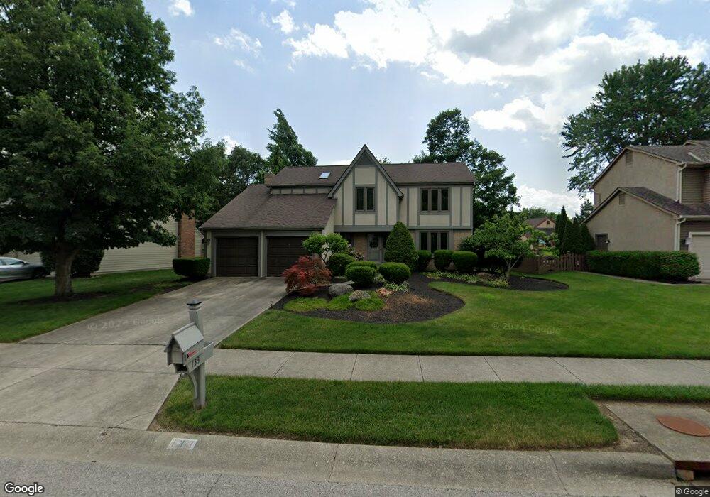
133 Ridge Side Dr Powell, OH 43065
Estimated Value: $470,000 - $555,000
About This Home
This home is located at 133 Ridge Side Dr, Powell, OH 43065 and is currently estimated at $517,251, approximately $230 per square foot. 133 Ridge Side Dr is a home located in Delaware County with nearby schools including Wyandot Run Elementary School, Olentangy Liberty Middle School, and Olentangy High School.
Ownership History
We collect this data history from publicly available records. To have your information removed, we recommend requesting removal directly through your county’s website.
Purchase Details
Home Financials for this Owner
Home Financials are based on the most recent Mortgage that was taken out on this home.Purchase Details
Home Financials for this Owner
Home Financials are based on the most recent Mortgage that was taken out on this home.Home Values in the Area
Average Home Value in this Area
Purchase History
We collect this data history from publicly available records. To have your information removed, we recommend requesting removal directly through your county’s website.
| Date | Buyer | Sale Price | Title Company |
|---|---|---|---|
| $247,000 | -- | ||
| $247,000 | Title First Agency Inc |
Mortgage History
We collect this data history from publicly available records. To have your information removed, we recommend requesting removal directly through your county’s website.
| Date | Status | Borrower | Loan Amount |
|---|---|---|---|
| Previous Owner | $197,600 |
Tax History
We collect this data history from publicly available records. To have your information removed, we recommend requesting removal directly through your county’s website.
| Year | Tax Paid | Tax Assessment Tax Assessment Total Assessment is a certain percentage of the fair market value that is determined by local assessors to be the total taxable value of land and additions on the property. | Land | Improvement |
|---|---|---|---|---|
| 2025 | $7,469 | $135,280 | $34,830 | $100,450 |
| 2024 | $7,088 | $135,280 | $34,830 | $100,450 |
| 2023 | $7,116 | $135,280 | $34,830 | $100,450 |
| 2022 | $7,052 | $106,300 | $26,180 | $80,120 |
| 2021 | $7,174 | $106,300 | $26,180 | $80,120 |
| 2020 | $7,199 | $106,300 | $26,180 | $80,120 |
| 2019 | $6,034 | $92,400 | $22,750 | $69,650 |
| 2018 | $6,103 | $92,400 | $22,750 | $69,650 |
| 2017 | $5,918 | $88,240 | $18,690 | $69,550 |
| 2016 | $6,254 | $88,240 | $18,690 | $69,550 |
| 2015 | $5,691 | $88,240 | $18,690 | $69,550 |
| 2014 | $5,767 | $88,240 | $18,690 | $69,550 |
| 2013 | $5,679 | $84,910 | $18,690 | $66,220 |
Map
- 323 Village Ridge Dr
- 447 Ridge View Place
- 7393 Celebration Dr
- 7312 Celebration Dr
- 150 Barrington Place
- 130 Barrington Place
- 122 Encore Park Bend
- 121 Encore Park Bend N
- 122 Encore Park Bend N
- 121 Encore Park Bend
- 104 Encore Park Bend S
- 116 Encore Park Bend
- 116 Encore Park Bend S
- 8711 Gosling Way
- 52 Beech Ridge Dr
- 17 Fawn Meadow Ct Unit B17
- 6384 Davis Cir
- 171 W Case St
- 183 W Case St
- 81 Traditions Way
- 119 Ridge Side Dr
- 147 Ridge Side Dr
- 126 Trail Edge Cir
- 105 Ridge Side Dr
- 116 Trail Edge Cir
- 144 Trail Edge Cir
- 161 Ridge Side Dr
- 150 Ridge Side Dr
- 100 Trail Edge Cir
- 91 Ridge Side Dr
- 124 Ridge Side Dr
- 140 Ridge Side Dr
- 110 Ridge Side Dr
- 86 Trail Edge Cir
- 77 Ridge Side Dr
- 98 Ridge Side Dr
- 121 Trail Edge Cir
- 335 Village Ridge Dr
- 185 Trail Edge Cir
- 107 Trail Edge Cir
Ask me questions while you tour the home.