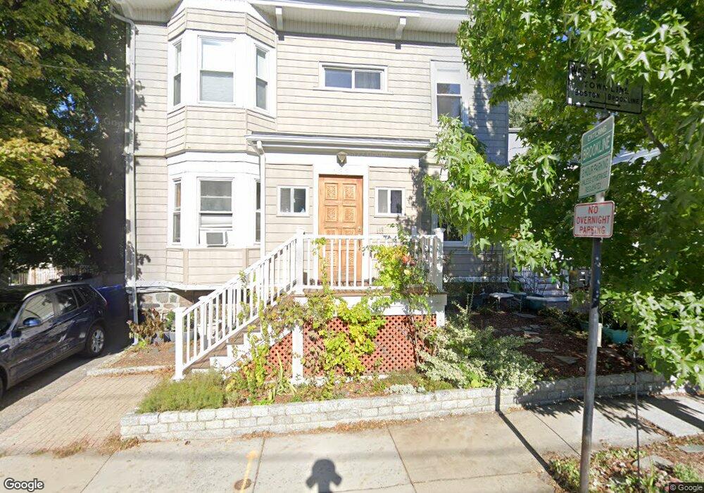
133 Westbourne Terrace Unit 1 Brookline, MA 02446
Commonwealth NeighborhoodEstimated Value: $652,962 - $1,524,000
4
Beds
3
Baths
958
Sq Ft
$1,103/Sq Ft
Est. Value
About This Home
This home is located at 133 Westbourne Terrace Unit 1, Brookline, MA 02446 and is currently estimated at $1,056,991, approximately $1,103 per square foot. 133 Westbourne Terrace Unit 1 is a home located in Norfolk County with nearby schools including Boston Green Academy Horace Mann Charter School and Torah Academy.
Ownership History
Date
Name
Owned For
Owner Type
Purchase Details
Closed on
Apr 21, 2010
Sold by
Loux Allegra E
Bought by
Stark Francesca
Current Estimated Value
Home Financials for this Owner
Home Financials are based on the most recent Mortgage that was taken out on this home.
Original Mortgage
$458,282
Outstanding Balance
$312,694
Interest Rate
5.5%
Mortgage Type
FHA
Estimated Equity
$744,297
Create a Home Valuation Report for This Property
The Home Valuation Report is an in-depth analysis detailing your home's value as well as a comparison with similar homes in the area
Home Values in the Area
Average Home Value in this Area
Purchase History
| Date | Buyer | Sale Price | Title Company |
|---|---|---|---|
| Stark Francesca | $563,000 | -- |
Source: Public Records
Mortgage History
| Date | Status | Borrower | Loan Amount |
|---|---|---|---|
| Open | Stark Francesca | $458,282 |
Source: Public Records
Tax History Compared to Growth
Tax History
| Year | Tax Paid | Tax Assessment Tax Assessment Total Assessment is a certain percentage of the fair market value that is determined by local assessors to be the total taxable value of land and additions on the property. | Land | Improvement |
|---|---|---|---|---|
| 2025 | $2,496 | $252,900 | $0 | $252,900 |
| 2024 | $2,422 | $247,900 | $0 | $247,900 |
| 2023 | $2,367 | $237,400 | $0 | $237,400 |
| 2022 | $2,349 | $230,500 | $0 | $230,500 |
| 2021 | $2,236 | $228,200 | $0 | $228,200 |
| 2020 | $2,136 | $226,000 | $0 | $226,000 |
| 2019 | $2,016 | $215,200 | $0 | $215,200 |
| 2018 | $1,838 | $194,300 | $0 | $194,300 |
| 2017 | $1,777 | $179,900 | $0 | $179,900 |
| 2016 | $1,704 | $163,500 | $0 | $163,500 |
| 2015 | $1,588 | $148,700 | $0 | $148,700 |
| 2014 | $1,484 | $130,300 | $0 | $130,300 |
Source: Public Records
Map
Nearby Homes
- 45 Bartlett Crescent Unit 402
- 45 Bartlett Crescent Unit 404
- 45 Bartlett Crescent Unit 302
- 45 Bartlett Crescent Unit 401
- 45 Bartlett Crescent Unit 101
- 45 Bartlett Crescent Unit 206
- 45 Bartlett Crescent Unit 305
- 190 Corey Rd Unit 5
- 9 Downing Rd
- 85 Williston Rd
- 757 Washington St Unit 2
- 1564 Commonwealth Ave Unit 3
- 249 Corey Rd Unit 404
- 249 Corey Rd Unit 306
- 249 Corey Rd Unit 303
- 249 Corey Rd Unit 309
- 249 Corey Rd Unit 308
- 249 Corey Rd Unit 408
- 249 Corey Rd Unit 401
- 249 Corey Rd Unit 103
- 133 Westbourne Terrace Unit 3
- 133 Westbourne Terrace Unit 2
- 133 Westbourne Terrace Unit 3
- 133 Westbourne Terrace Unit 2
- 133 Westbourne Terrace Unit 1
- 131 Westbourne Terrace
- 131 Westbourne Terrace Unit 1
- 22 City View Rd
- 22 City View Rd Unit 22
- 195 Corey Rd
- 195 Corey Rd Unit 1
- 21 Chelsea St
- 127 Westbourne Terrace
- 127 Westbourne Terrace Unit 2
- 127 Westbourne Terrace Unit 1
- 18 City View Rd
- 17 City View Rd
- 17 City View Rd Unit 17
- 128 Westbourne Terrace Unit 130
- 126 Westbourne Terrace