1330 Kiowa Dr E Gainesville, TX 76240
Estimated Value: $959,000 - $1,760,349
5
Beds
4
Baths
3,068
Sq Ft
$483/Sq Ft
Est. Value
About This Home
This home is located at 1330 Kiowa Dr E, Gainesville, TX 76240 and is currently estimated at $1,481,087, approximately $482 per square foot. 1330 Kiowa Dr E is a home located in Cooke County with nearby schools including Callisburg Elementary School, Callisburg Middle School, and Callisburg High School.
Ownership History
Date
Name
Owned For
Owner Type
Purchase Details
Closed on
Apr 5, 2023
Sold by
Malone Michael C
Bought by
Benton Paula and Benton William
Current Estimated Value
Purchase Details
Closed on
Aug 26, 2019
Sold by
Sofey Construction & Desigh Llc
Bought by
Malone Michael C and Malone Alison
Home Financials for this Owner
Home Financials are based on the most recent Mortgage that was taken out on this home.
Original Mortgage
$658,000
Interest Rate
3.7%
Mortgage Type
New Conventional
Create a Home Valuation Report for This Property
The Home Valuation Report is an in-depth analysis detailing your home's value as well as a comparison with similar homes in the area
Home Values in the Area
Average Home Value in this Area
Purchase History
| Date | Buyer | Sale Price | Title Company |
|---|---|---|---|
| Benton Paula | -- | None Listed On Document | |
| Malone Michael C | -- | Howeth Title Company |
Source: Public Records
Mortgage History
| Date | Status | Borrower | Loan Amount |
|---|---|---|---|
| Previous Owner | Malone Michael C | $658,000 |
Source: Public Records
Tax History Compared to Growth
Tax History
| Year | Tax Paid | Tax Assessment Tax Assessment Total Assessment is a certain percentage of the fair market value that is determined by local assessors to be the total taxable value of land and additions on the property. | Land | Improvement |
|---|---|---|---|---|
| 2025 | $19,789 | $1,537,579 | $634,895 | $902,684 |
| 2024 | $19,789 | $1,566,720 | $664,036 | $902,684 |
| 2023 | $18,448 | $1,445,002 | $388,181 | $1,056,821 |
| 2022 | $18,539 | $1,249,866 | $358,669 | $891,197 |
| 2021 | $15,997 | $874,757 | $249,196 | $625,561 |
| 2019 | $11,796 | $605,451 | $198,775 | $406,676 |
| 2018 | $4,255 | $217,231 | $185,731 | $31,500 |
| 2017 | $4,174 | $211,128 | $180,263 | $30,865 |
Source: Public Records
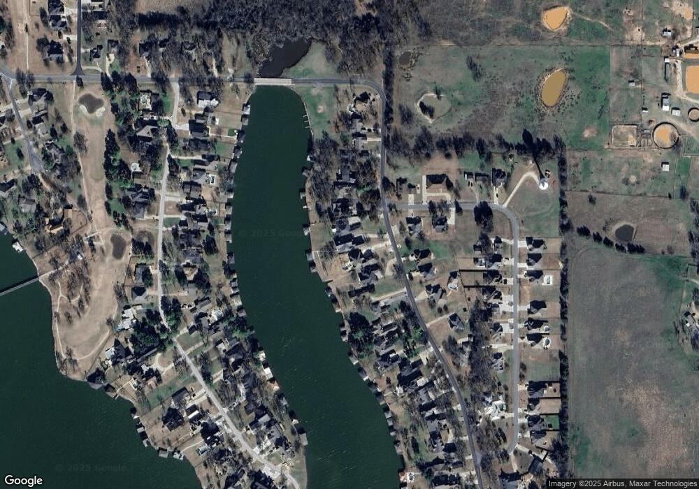
Map
Nearby Homes
- 1321 Kiowa Dr E
- 143 Mohave Dr E
- 1229 Kiowa Dr E
- 1214 Kiowa Dr E
- 422 Navajo Trail
- 329 Comanche Dr
- 409 Navajo Trail
- 101 Wasco Cove
- 205 San Chez Dr
- 1246 Kiowa Dr W
- 1125 Kiowa Dr E
- 200 Cayuga Trail
- 102 Kiowa Dr N
- 315 Navajo Trail
- 107 Cayuga Trail
- 912 Kiowa Dr W
- 206 Modoc Trail
- 116 Modoc Trail
- 117 Modoc Trail
- 300 Navajo Trail
- 1332 Kiowa Dr E
- 1326 Kiowa Dr E
- 1334 Kiowa Dr E
- 1324 Kiowa Dr E
- 1336 Kiowa Dr E
- 1322 Kiowa Dr E
- 1338 Kiowa Dr E
- 1320 Kiowa Dr E
- 1319 Kiowa Dr E
- 1323 Kiowa Dr E
- 1340 Kiowa Dr E
- 1317 Kiowa Dr E
- 1318 Kiowa Dr E
- 1313 Kiowa Dr E
- 130 Mohave Dr E
- 1342 Kiowa Dr E
- 1316 Kiowa Dr E
- 147 Mohave Dr E
- 128 Mohave Dr E
- 1344 Kiowa Dr E